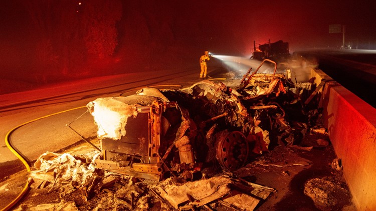
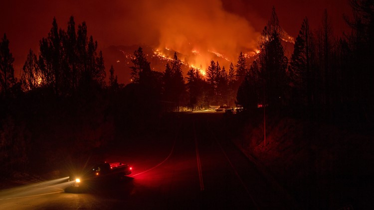
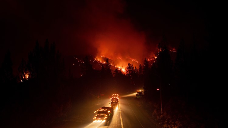
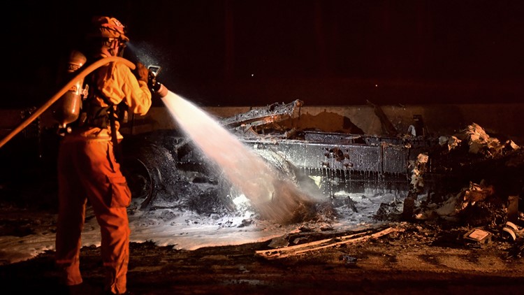
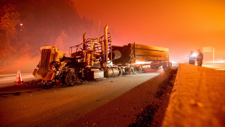
The Delta and Kerlin fires continue to burn in the region, creating smoky conditions in Shasta County, while Hirz is nearly contained.
Much of the area will remain in a widespread haze throughout the week, according to the National Weather Service.
The area is under a Red Flag Warning today and tomorrow, meaning there is an increased risk for fires to start and spread. Wind gusts may range between 15 mph to 25 mph.
Here's a rundown on what we know about the three fires burning in the region:
Delta Fire grows
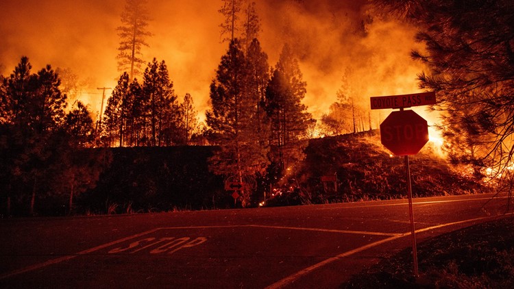
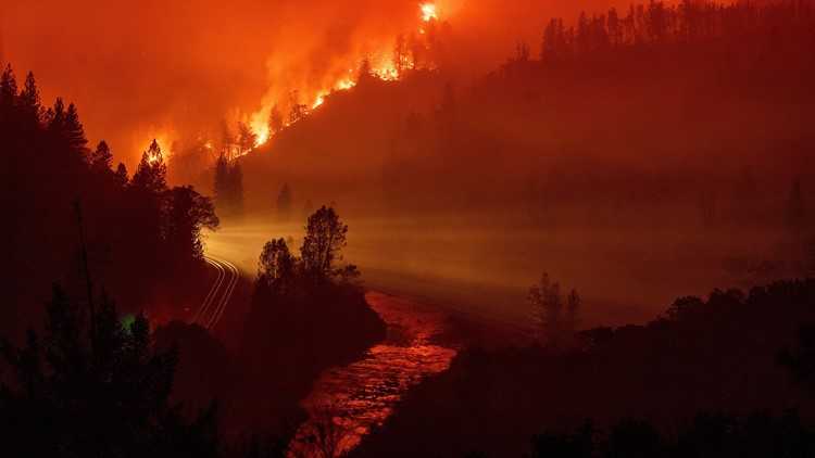
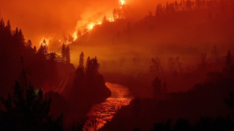
The blaze grew overnight to 53,311 acres with containment still at 5 percent, the U.S. Forest Service reports
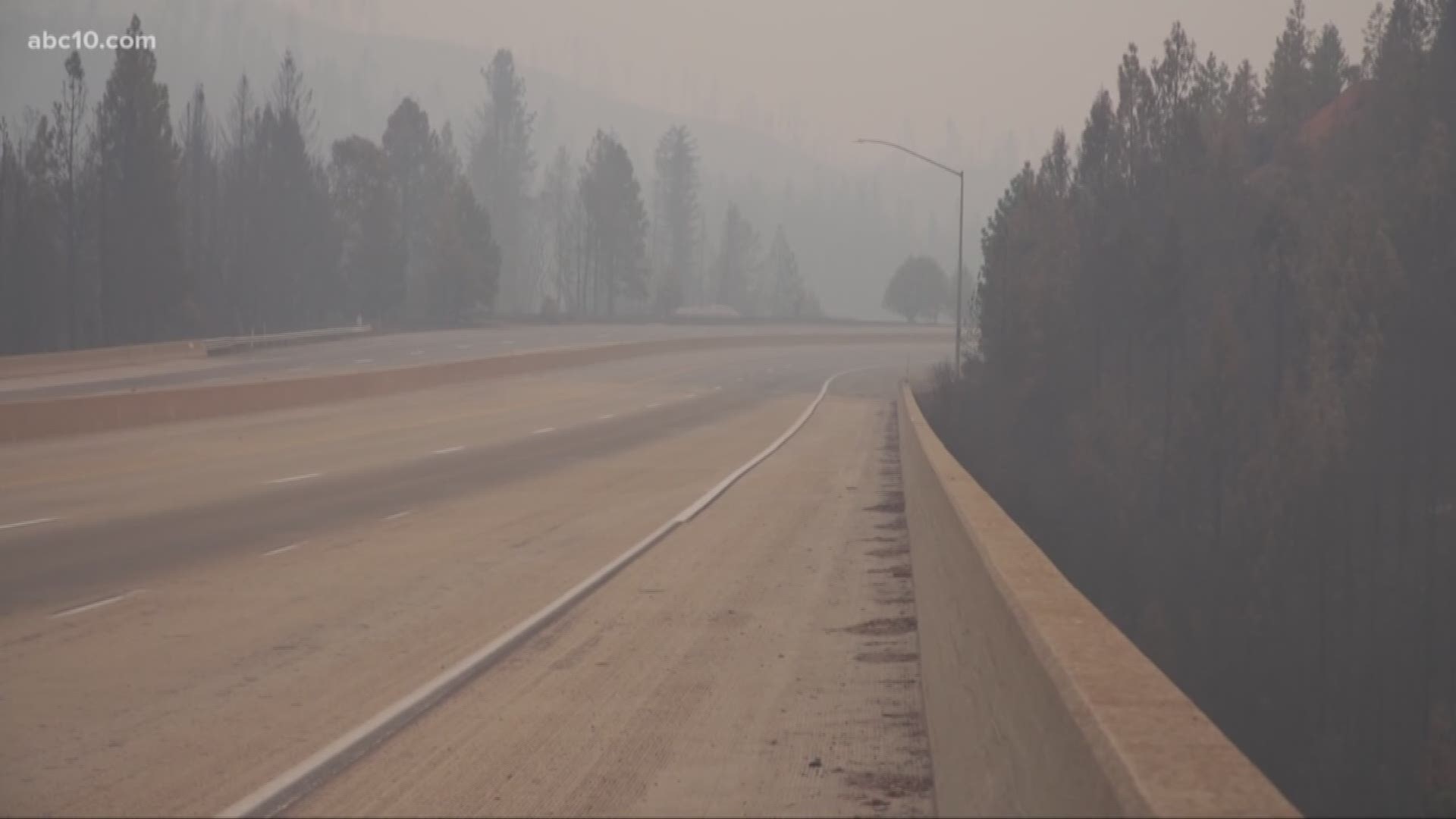
The fire broke out last Wednesday just 2 miles northwest of Lakehead, along Interstate 5. It prompted the freeway's shutdown for five days from north of Redding to just south of Mount Shasta until firefighters got a better handle on the blaze. Traffic was allowed back on I-5 on Monday but limited to one lane both ways for 17 miles between Antlers Bridge in Lakehead to Flume Creek Road.
The fire is burning across county lines in Shasta and Trinity counties. Firefighters worked throughout the night to protect structures at the south end of the fire near Dog Creek Road, just south of Dunsmuir, according to the California Department of Transportation.
Residents in Dunsmuir are under an evacuation warning, according to the Siskiyou County Sheriff's Office, and an evacuation shelter has been setup at the National Guard Armory at 618 Everitt Memorial Highway in Mount Shasta.
An evacuation shelter is open in Redding at Mercy Oaks at 100 Mercy Oaks Dr. But it is on standby due to a lack of people who have come in, the Shasta County Sheriff's Office said.
A mandatory evacuation is still in place for residents living along the I-5 corridor from exit 707 at Vollmers north to exit 714 at Gibson Road.
PHOTOS: Delta Fire
Kerlin Fire containment up
The Kerlin Fire continues to burn in Trinity County. It's destroyed 1,748 acres and is 60 percent contained.
Monday night was "another quiet night, and firefighters on the line continued to patrol the fire perimeter and to mop up the northern edge of the fire," the forest service said in its update. Crews will patrol the fire perimeter for the next few nights.
Mandatory evacuations were lifted Sunday afternoon. Evacuation warnings are in place for residents living west of the South Fork of the Trinity River from the Lower South Fork Road at the Pelletreau Road intersection north to Salmon Rock, west to the Humboldt-Trinity County line, south to the 3N32 B Spur, east to the Pelletreau Road, and along the north side of the Pelletreau Road back to the intersection with Lower South Fork Road.
Hirz Fire 97 percent contained
The human-caused Hirz Fire remains at 46,150 acres and is 97 percent contained. There are 248 fire personnel working to help contain the fire. Forest service officials reported crews will work on holding and mopping up contained areas and securing the uncontrolled edge of the fire near South Fork.

