SACRAMENTO, Calif. — The worst of the stormy weather of Saturday is over for Sacramento and the valley, though showers linger through midday and gusty winds continue through the afternoon. A Wind Advisory continues for the Sacramento Valley until noon Saturday.
In the wake of the strong winds, numerous PG&E outages and SMUD outages are being reported.
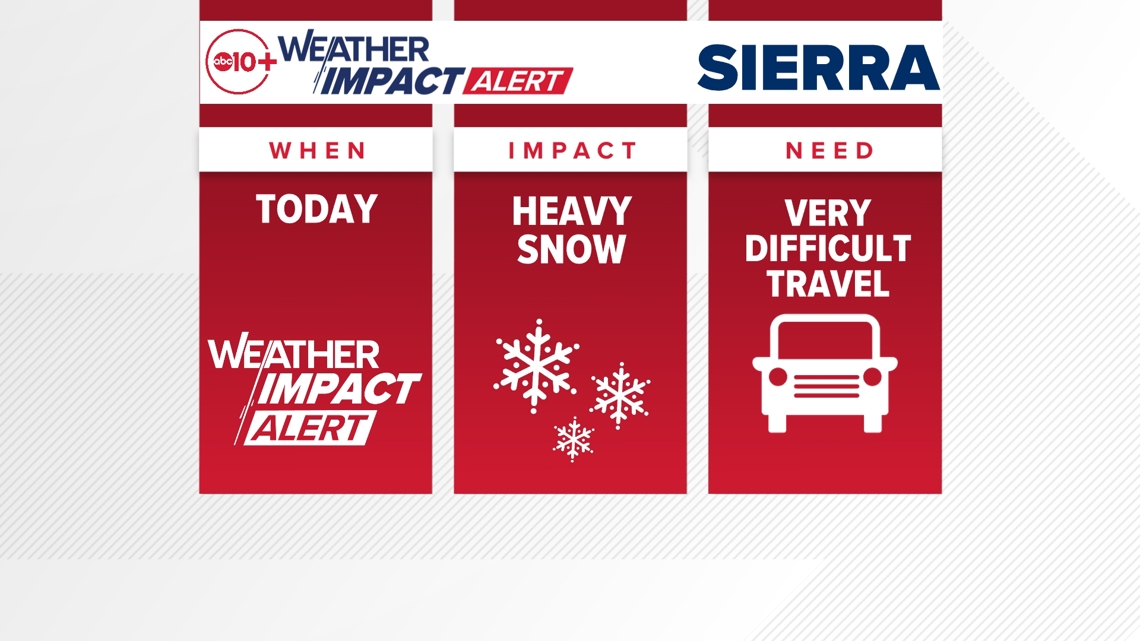
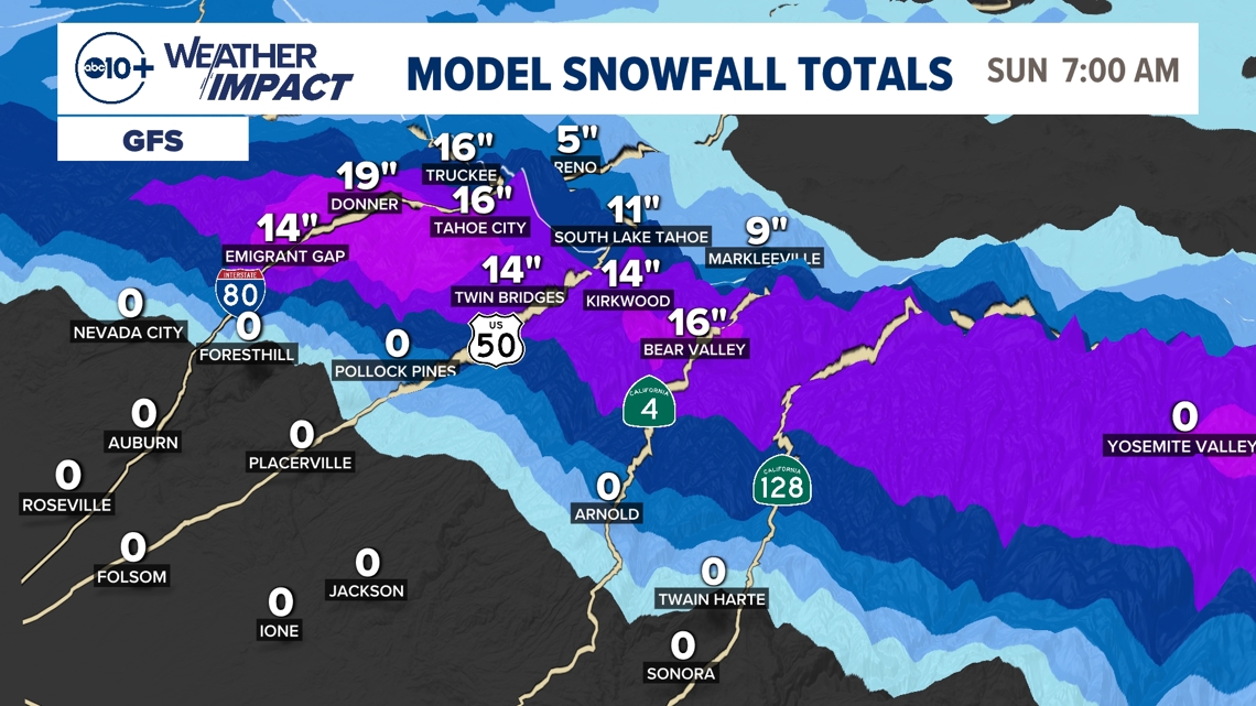
The high country continues to see heavy snow falling above about 5,000 feet. Another 1 to 2 feet of snow is expected before this storm comes to an end late this evening.

When
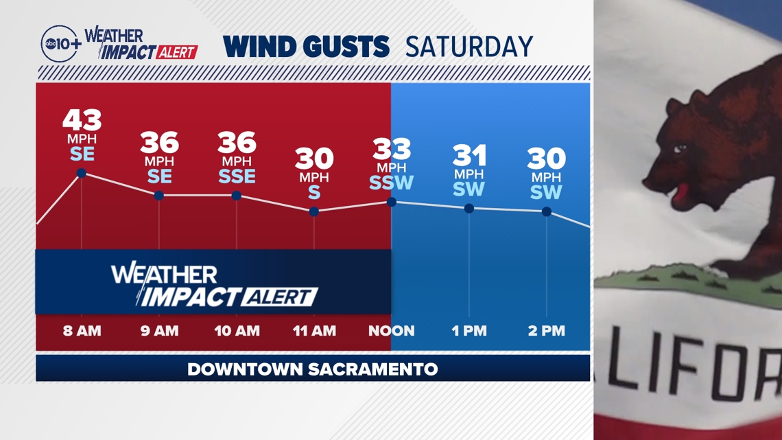
Gusty valley winds continue into the afternoon, even after the expiration of the Wind Advisory at noon. However, the strongest gusts are behind us, with afternoon gusts 20-30 mph instead of the 35-45 mph we saw early this morning.
It's not until the late afternoon hours that valley wind gusts finally subside.

In the Sierra Nevada, heavy snow is already occurring and will continue throughout the daytime. Strong wind gusts over 50 mph are also present in the high country, and this is leading to whiteout conditions at times.
Sierra snow and wind will continue after sunset and won't taper off until 8 or 9 o'clock Saturday night.
► Stay up to date with the forecast and weather impact team with the ABC10+ streaming app. Here's how to download it for free.
Impact
The greatest potential for power outages in the Sacramento and San Joaquin valleys is now behind us along with the strongest wind, but with gusts over 30 mph, localized power outages are possible.
We also still have minor flooding across the Sacramento Valley, mainly on roads and low-lying areas. The heavy rain this morning will take time to drain, so take it slower on wet roads and never drive through completely flooded roads.
In the Sierra, the advice is simple: don't drive if you don't absolutely need to.
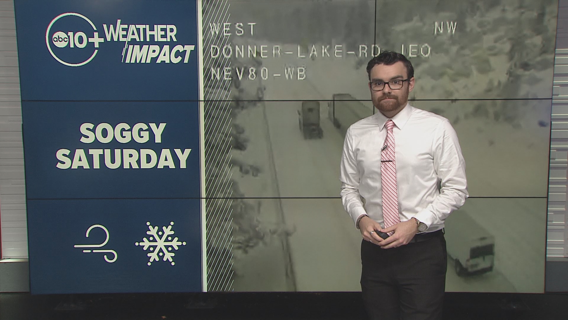
Heavy snow is ongoing and is resulting in snow-covered roads, even major trans-Sierra routes like Interstate 80 and US-50. Chain controls are in effect and traffic holds have been on and off over the last 24 hours. Travel is and will continue to be exceptionally difficult all day Saturday.
Strong winds may result in some ski resort lifts being held.

Weather Impact Resources
► FORECAST DETAILS | Check out our hourly forecast and radar pages
► GET WEATHER ALERTS TO YOUR PHONE | Download the free ABC10 mobile app ► GO DEEPER | Stream in-depth weather forecasts and investigative reports with the free ABC10+ streaming app
► WEATHER IN YOUR EMAIL | Sign up for our daily newsletter
► MEET THE WEATHER IMPACT TEAM | Chief Meteorologist Monica Woods, Carley Gomez, Brenden Mincheff, Rob Carlmark
Need
In the valley, drive slower on wet roads and never drive through completely flooded roads. Be careful of tree and other debris on roads and sidewalks as a result of the strong winds. If you see a downed power line, never approach it as the line may still be electrified.
In the Sierra, avoid all non-necessary travel. Very difficult to impossible travel conditions will be present throughout Saturday. Postpone travel until Sunday when the weather — and road conditions — will be significantly better.
ABC10: Watch, Download, Read
For more ABC10 news and weather coverage on your time, stream ABC10+ on your TV for free:
► Roku - click here
► Amazon Fire - click here
► Apple TV - click here
GO DEEPER: The ABC10 Weather Impact Team investigates algae and bacterial threats to some of California’s largest natural lakes.

