
SAUSALITO, Calif. — In the 1940s and 1950s, San Fransico was looking for a more reliable supply of fresh water. Actor and theatrical producer John Reber came up with the wild idea of building two dams in San Francisco Bay to keep out salt water.
“His idea was to convert [the bay] into reservoirs, like freshwater reservoirs,” said U.S. Army Corp of Engineer Park Ranger Linda Holmes.
At the time, converting the salty bay into a freshwater reservoir would have been the largest civil works project in the country’s history, and would have also drastically reshaped the Bay Area.
“At the San Rafael Richmond Bridge would have been a dam, and roughly where the Bay Bridge would have been a dam," said Holmes. "Then by filling in Berkeley and Emeryville, and then creating a locking gate system to connect the two dams so the ships could get up over into the ports they needed to go.”
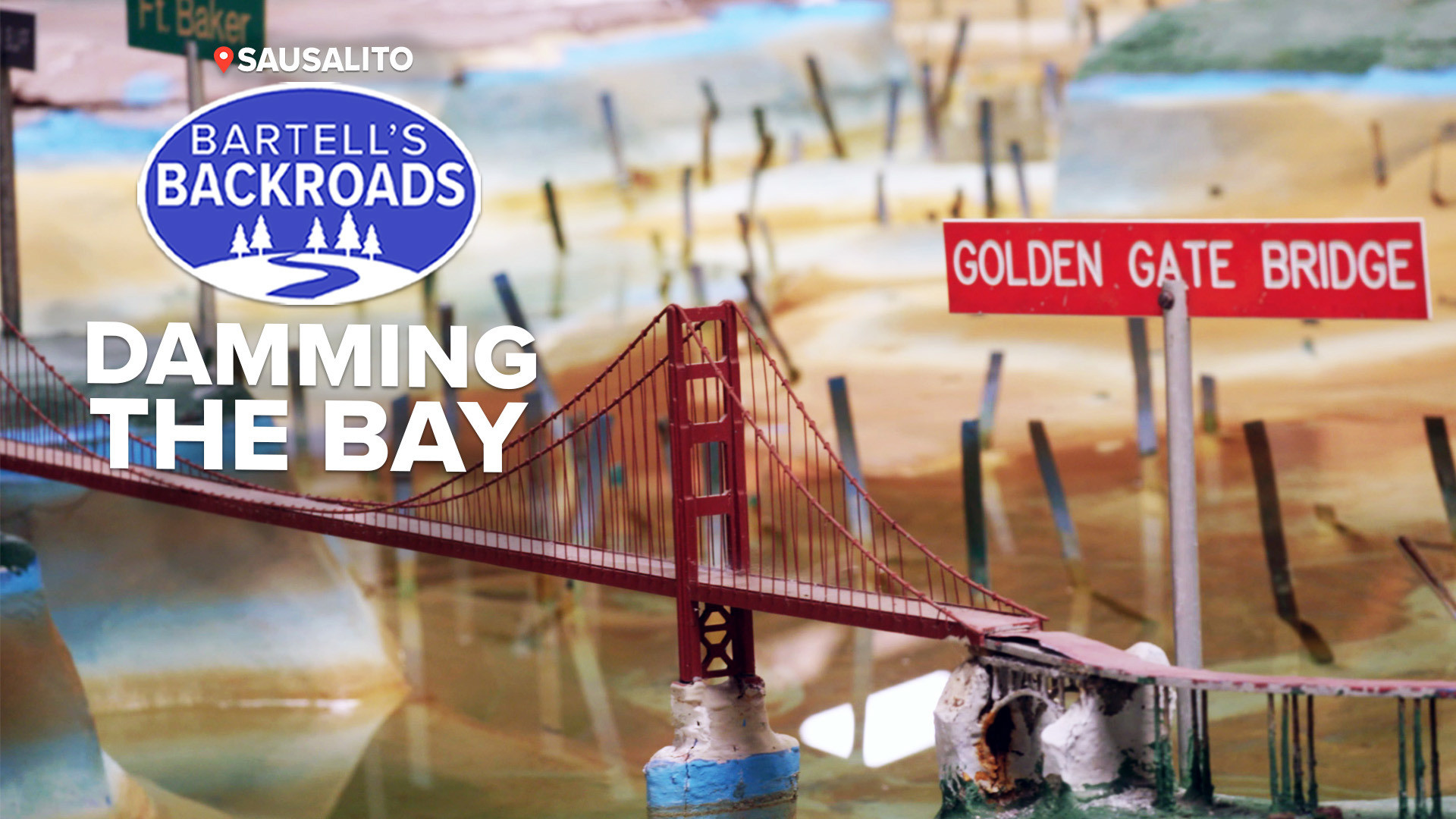
The project had a lot of support in California, but before the federal government authorized funding they ordered the Army Corps of Engineers to build a giant model of the Bay Area's water system. Stretching over 1.5 acres, the size of two football fields, the sculpted concrete model mimics tides, currents and river inflows.
“This was hand sculpted by a group of African Americans. They were referred to as molders. I like to lovingly refer to them as sculptors,” said Holmes.
TAKE A TRIP ON BARTELL'S BACKROADS:
► See an interactive map of everywhere John has visited on the backroads
► Watch all of the Backroads videos
► Follow John on Facebook
Back in the 1950s, building giant models like this one was the only way to test if a giant water project like this would work or not. It’s a good thing that they tested Reber's idea.
“His math was a little bit off. The long and short of it is it probably would have flooded every community from South Bay all the way through here, all the way up to the Delta,” said Holmes.
Reber’s idea was quickly scrapped but the Bay Model as it’s known today found a new purpose.
“It attracted scientists and engineers and college professors and students from all over the state to request the use of the simulator to test theories of their own,” said Holmes.
The Bay Model was used by scientists and engineers up to the year 2000 to measure the effects of drought, floods, dredging, oil spills and shoreline development. Computers have since replaced the need for the Bay Model but today it provides students and visitors with a visual of Northern California’s water system.
ANOTHER BIG MODEL ON THE BACKROADS: Find out what's in the Empire Mine's "Secret Room."


