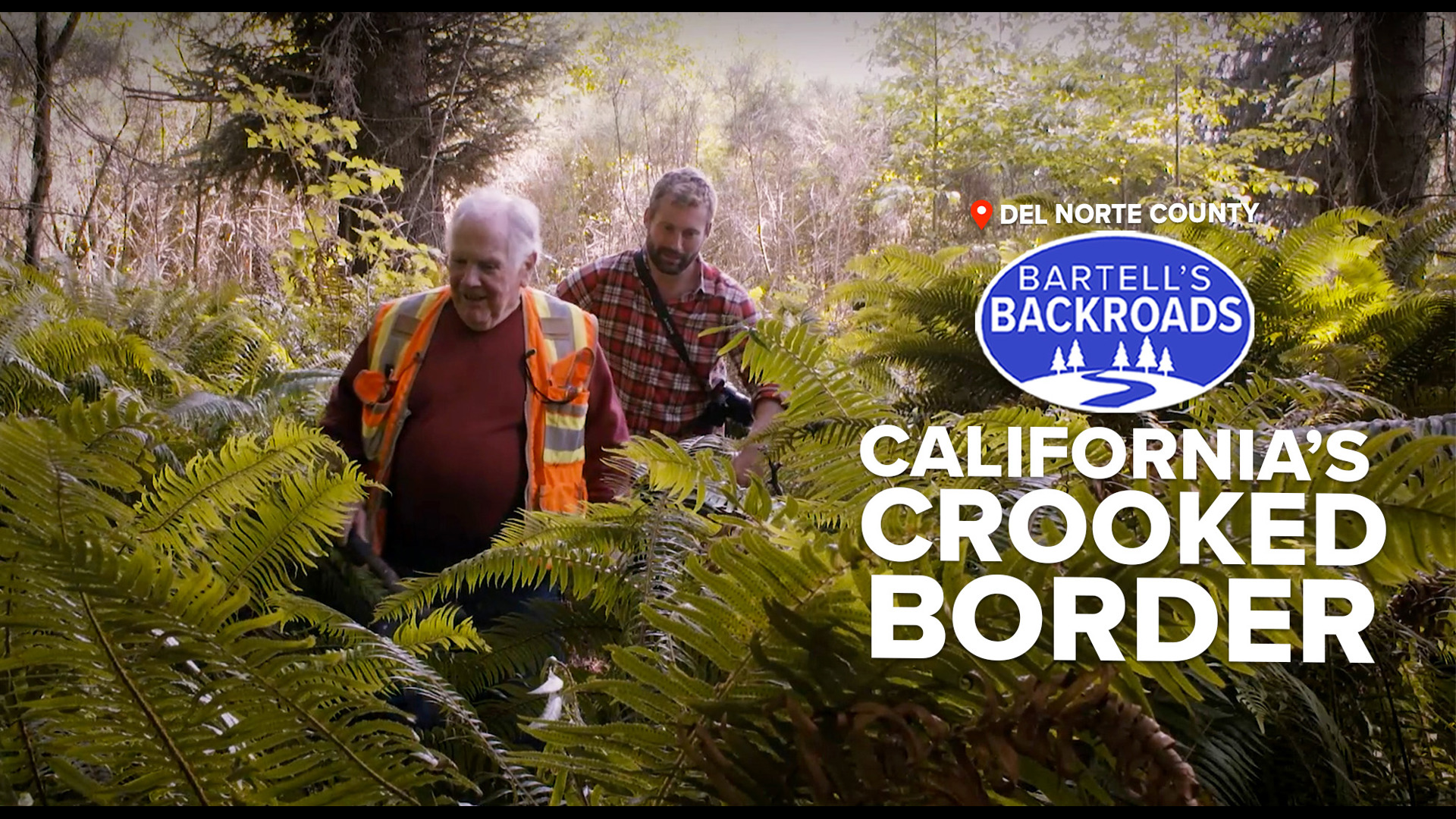
DEL NORTE COUNTY, Calif. — In 1848, Mexico ceded what is now California to the United States through the Treaty of Guadalupe Hidalgo. The treaty decided that the northern boundary line separating California and the Oregon Territory would run along the 42° parallel.
There was just one major problem: no one physically knew where that line was. Few people today, except for surveyor Richard Davis, can pinpoint the boundary line. “It a bit of a hike through the brush to get to it,” Davis said.
The Northern California boundary stretches about 212 miles across Del Norte and Modoc counties. It is hard to find because the original survey marks were placed back in 1868.
“The man who originally ran the 212-mile survey was Daniel G. Major, and he was listed as an astronomer and surveyor,” Davis said.
TAKE A TRIP ON BARTELL'S BACKROADS:
► Binge the Backroads with the ABC10+ streaming app for your TV
► See an interactive map of everywhere John has visited on the backroads
► Watch all of the Backroads videos on your phone
► Follow John on Facebook
Daniel Major used a sextant and a crew of 19 men to first locate the intersection of Nevada, California and Oregon. He began at the eastern edge of California at Fort Bidwell in Modoc County and worked his way west to the Pacific Ocean in Del Norte county.
“It was very difficult at that period. And survey history to determine where latitude 42 precisely was,” Davis said.
Finding longitude was fairly simple but determining latitude required looking at the stars, using an accurate watch, and performing a lot of math. On top that, Major had to measure distance with a chain.
“It was 66 feet long and they would have to pull that through the brush which would drive you crazy,” Davis said.
Major’s journal recounts crossing arid plains in Modoc County, snowy mountains in Siskiyou County and “damnable brush" in Del Norte County before finally reaching the Pacific Ocean. It took him just over 2 years to complete the survey, which he supposedly marked with a whale bone.
“The current concrete marker supposedly replaced where the whale bone was,” Davis said.
When Major was hired, he was supposed to create a straight boundary line along the 42° parallel.
“That didn’t happen quite that way,” Davis said.
Due to his primitive survey equipment, the boundary line resembled jagged saw teeth instead of a straight line.
For decades Oregon and California debated over boundaries and mineral rights, leaving some communities like the town of New Pine Creek wondering what state they were actually in.
In the end, both states decided to keep Major's line, as changing it would be too costly.
“When you consider that this was done in 1860 something and the equipment that they had was would have been declared very primitive to what's available today, I think they did a bang up job,” Davis said.
WANT MORE BARTELL'S BACKROADS ADVENTURES? The Hollywood of the Bay Area that brought silent films to life

