
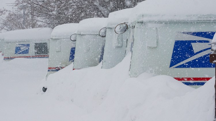
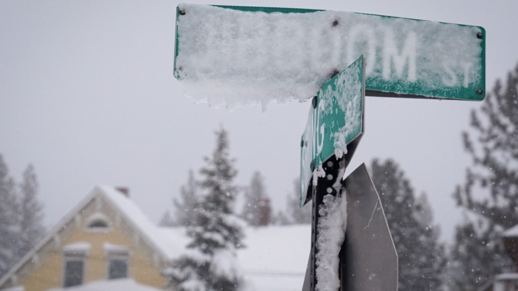
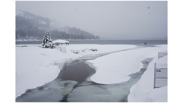
TRUCKEE, Calif. — Keep the shovels handy: a powerful blizzard in the Sierra Nevada was expected to wane Sunday, but more heavy snow is on the way.
The National Weather Service said conditions would improve as winds weakened Sunday, but precipitation would quickly return, with heavy snow in some areas and rainfall in others.
“We still have some showers ongoing especially up in the Sierra, and that will kind of continue throughout this afternoon, and then finally taper off overnight tonight,” said Justin Collins, a meteorologist with the National Weather Service in Reno. “That’s kind of the wrap up of the storm, if you will, and we’re going to have a few more waves come through early this week."
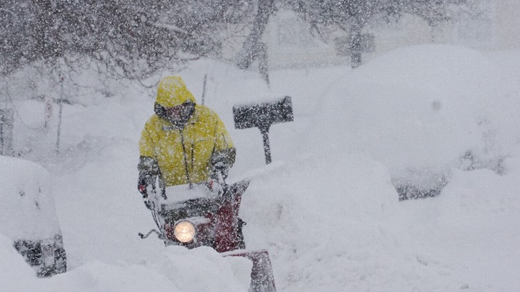
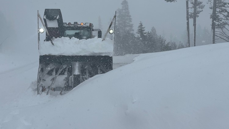
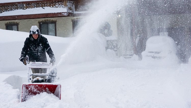
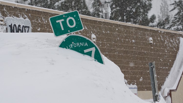
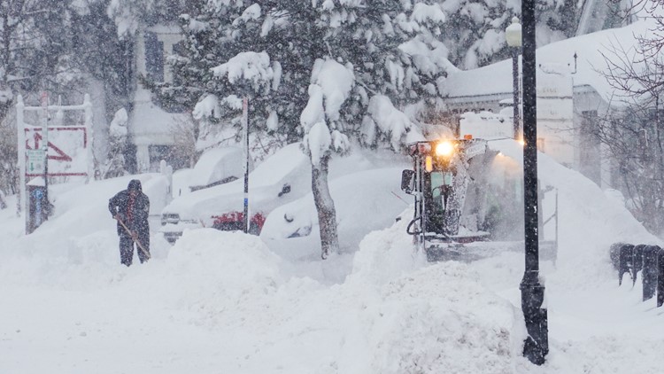
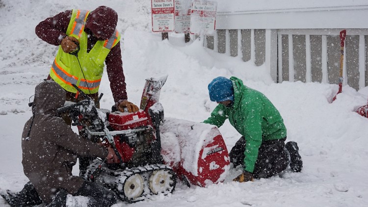
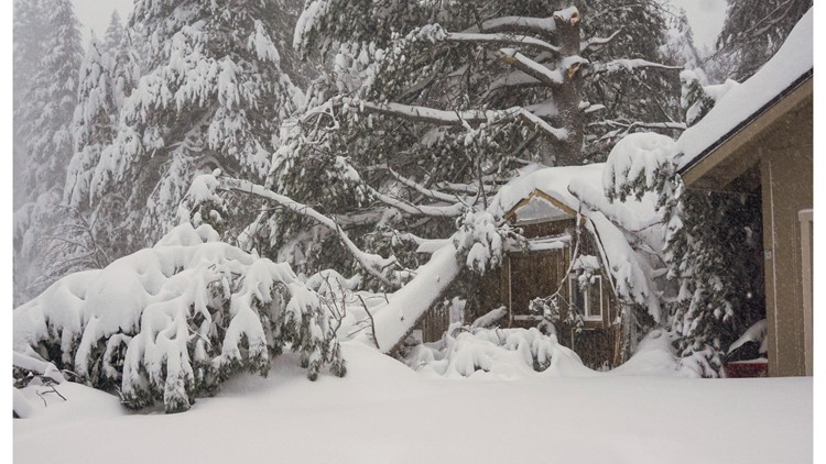
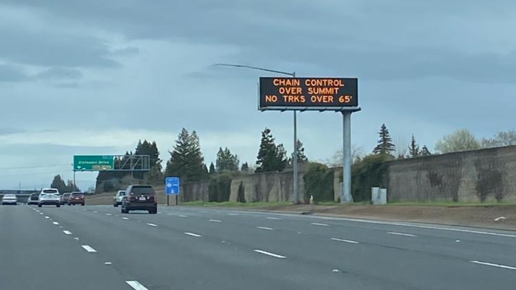
That wasn’t much of a break after a multiday storm that one meteorologist called “as bad as it gets” closed a key east-west freeway in northern California, shut down ski resorts and left thousands of homes and businesses without power.
Check out photos and videos sent to us in our Near Me section.
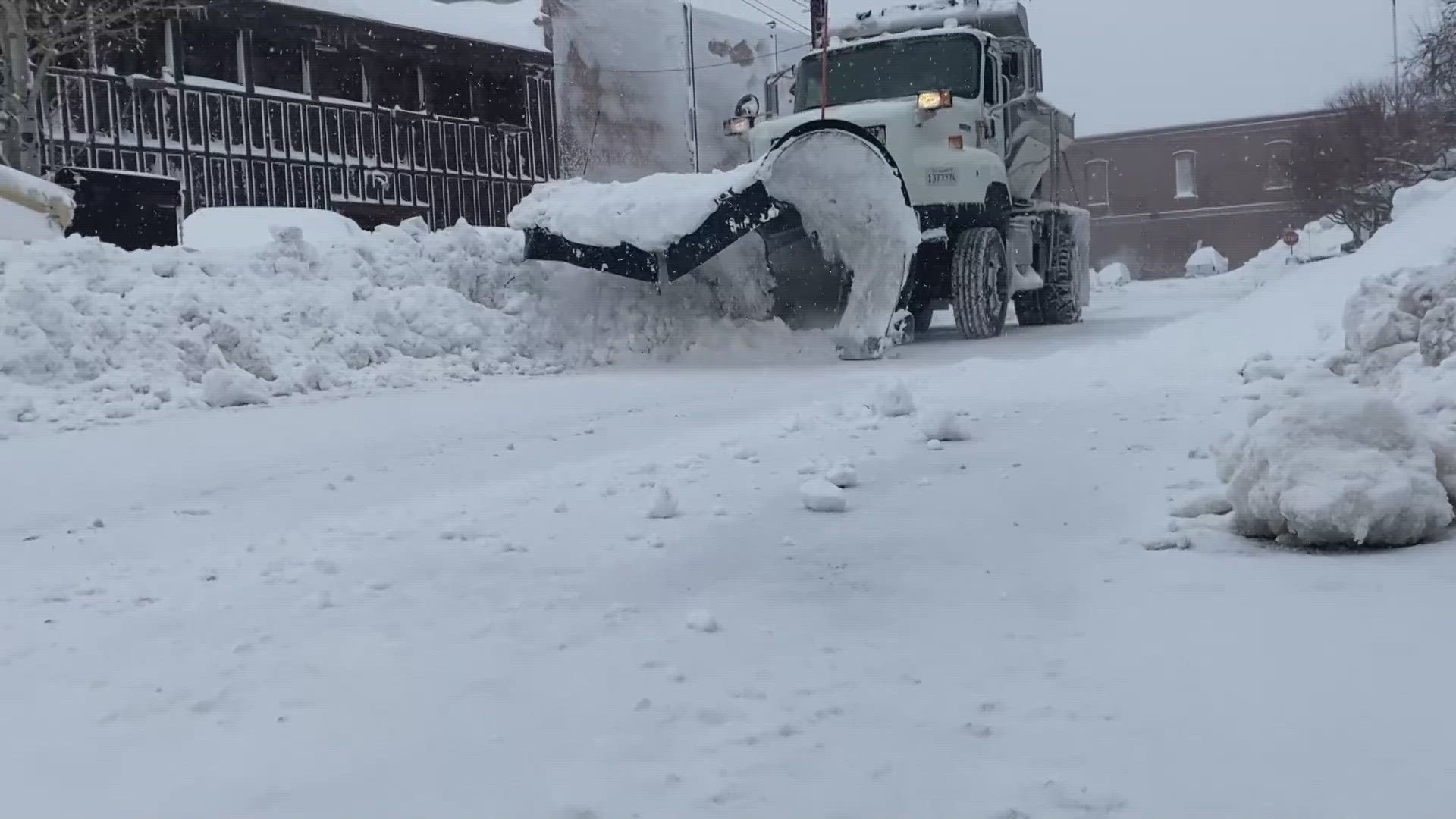
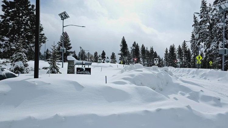
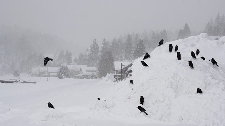
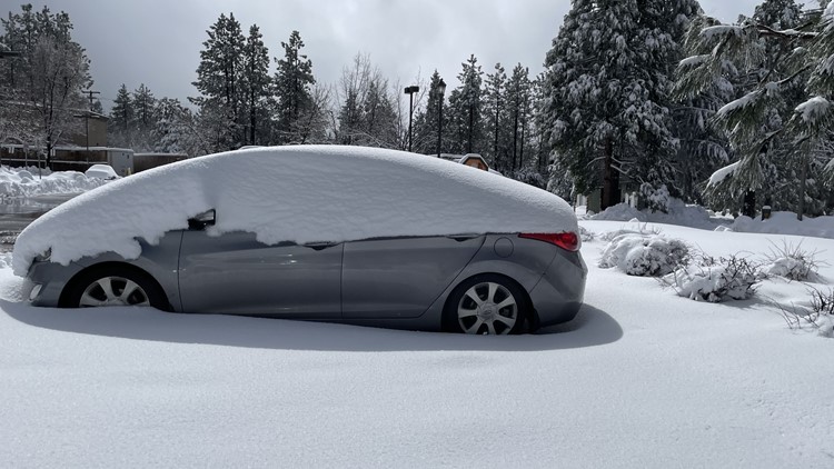
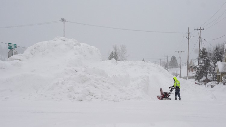
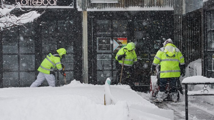
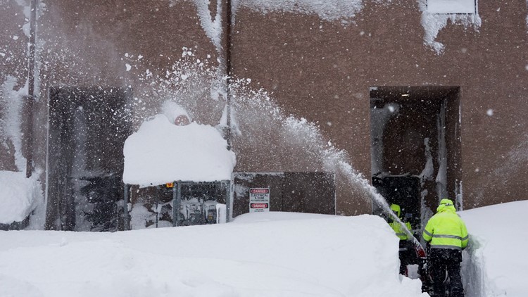
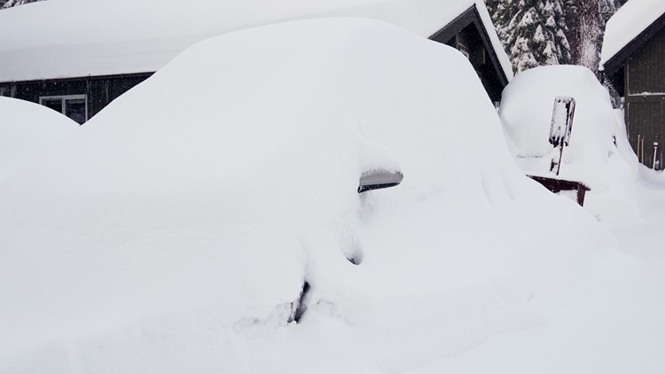
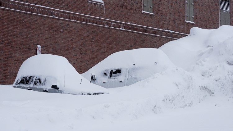
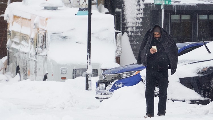
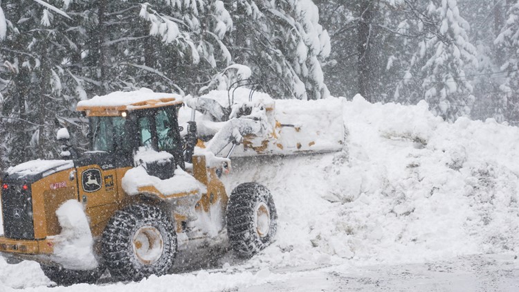
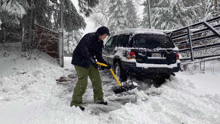
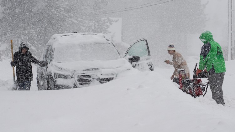
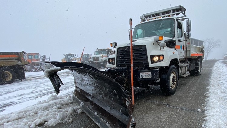
Here are some of the scenes:
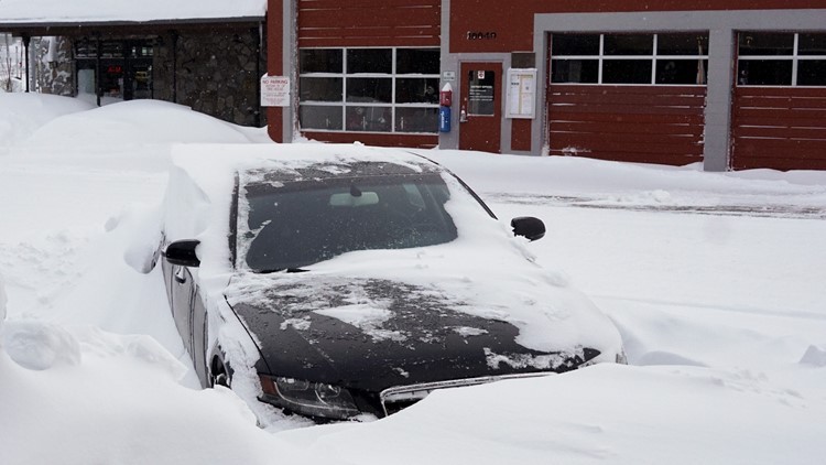
California Blizzard Photos | Sunday, March 3

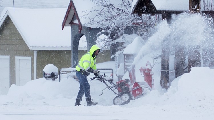

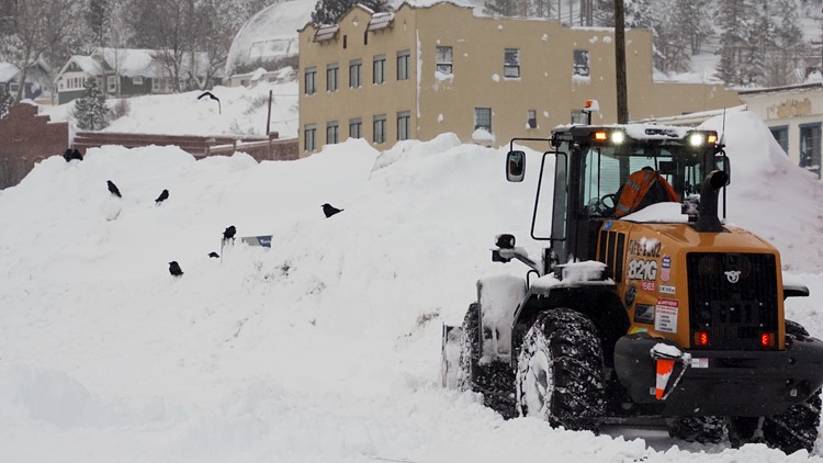


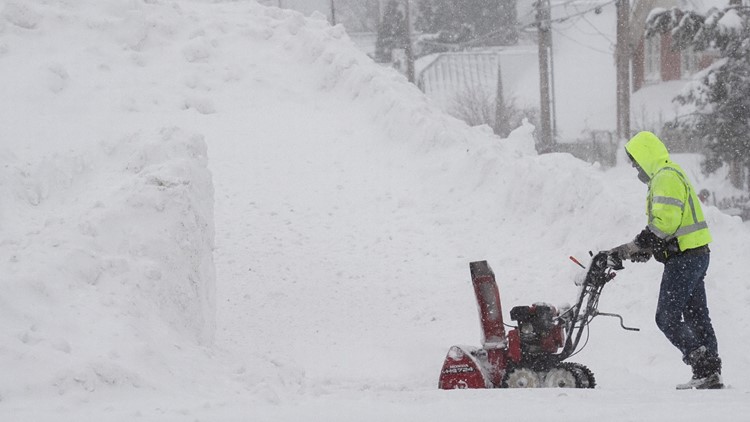


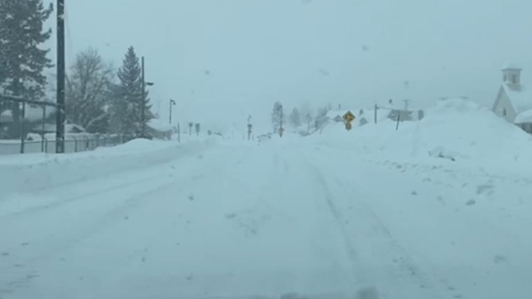


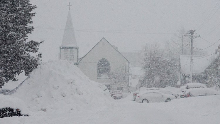


Low visibility in the Truckee area:
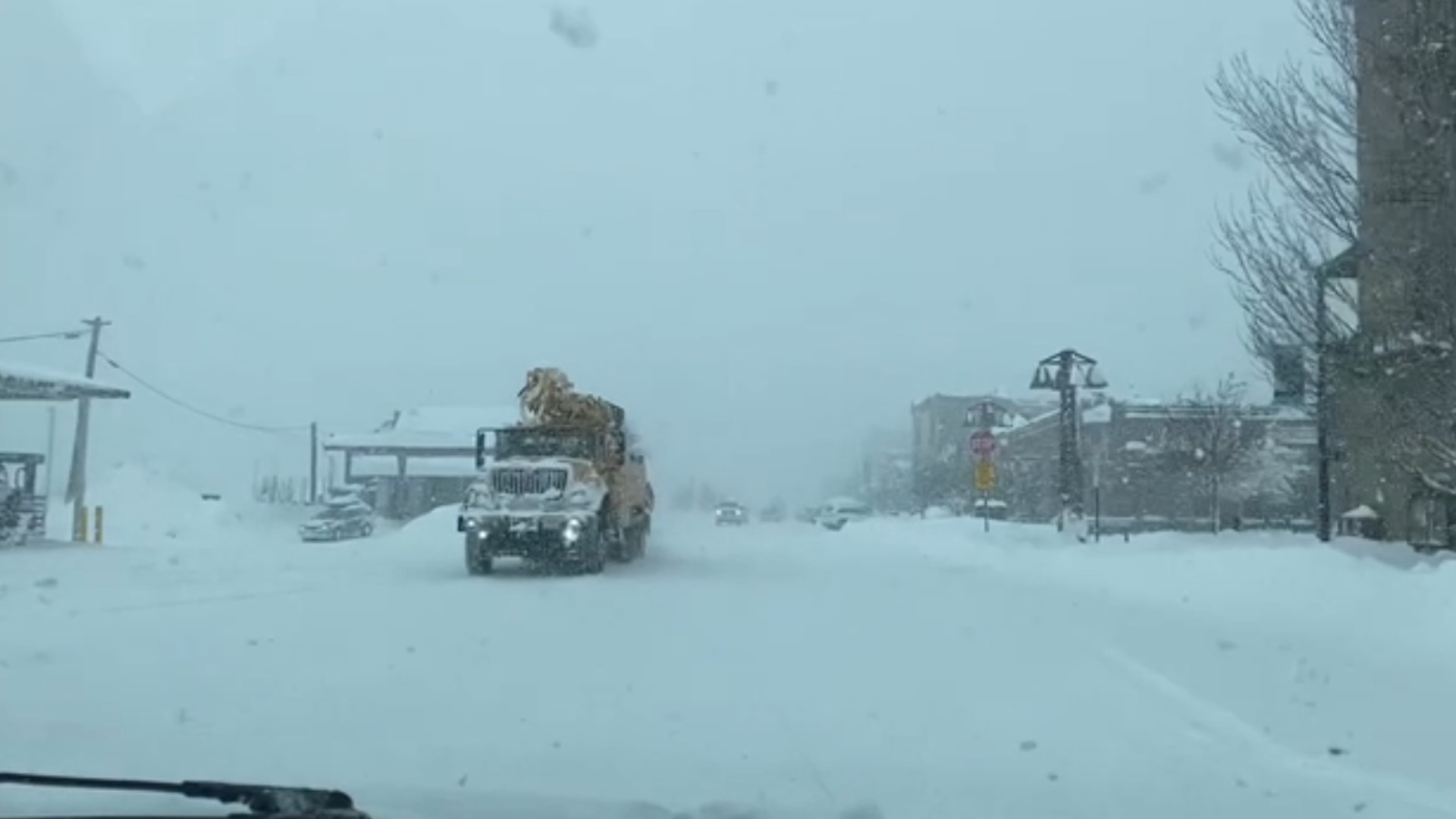
Road conditions in the Truckee area:

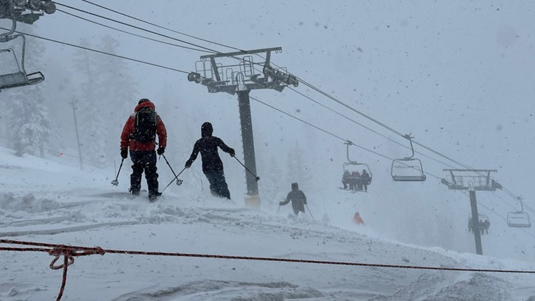
Howling winds and pelting snow at Palisades:
Cars trapped after minor avalanche on Highway 50 near Echo Summit:
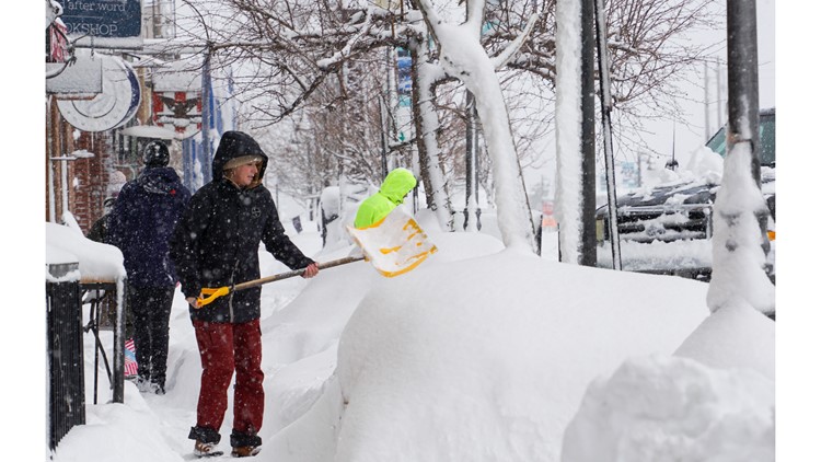
Here are some of the scenes from Saturday:
California Blizzard Photos | Saturday, March 2


Watch more from ABC10: Sierra Blizzard Continues: Blizzard Warning extended until midnight, 2 ft of snow in 24 hours


