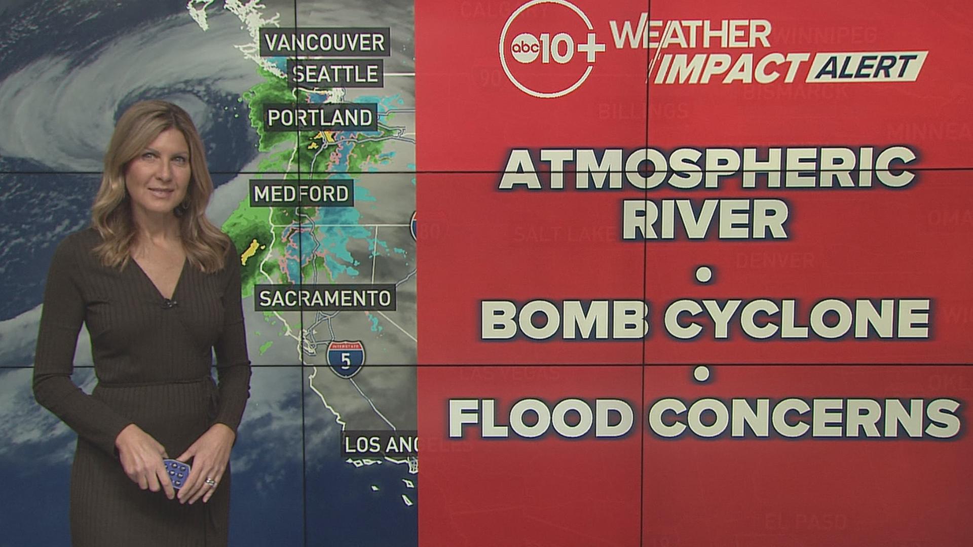
CALIFORNIA, USA — Weather conditions caused by the storm are causing delays or chain controls in the northern part of California and the Sierra Nevada mountains, especially between Lake Tahoe and Sacramento.
Chain controls were activated Wednesday afternoon by Caltrans.
- Eastbound: Nyack to Truckee
- Westbound: Truckee to Nyack
Minimum restrictions have been placed on trucks.
Below are the latest road conditions and here's a link to an interactive map from Caltrans.
Sacramento region traffic map:
Storm Resources
► FORECAST DETAILS | Check out our hourly forecast and radar pages
► GET WEATHER ALERTS TO YOUR PHONE | Download the free ABC10 mobile app
► GO DEEPER | Stream in-depth weather forecasts with the free ABC10+ streaming app
► WEATHER IN YOUR EMAIL | Sign up for our daily newsletter
► MEET THE WEATHER TEAM | Chief Meteorologist Monica Woods, Carley Gomez, Brenden Mincheff, Rob Carlmark
Power Outages
- Liberty Utilities: Outage Map
- PG&E: Outage Map
- Roseville Electric Utility: Outage Map
- SMUD: Outage Map
- RELATED: 5 hacks to get you through a power outage
Radar
Radar map from ABC10.com. Adjust the layers with a filter on the bottom right corner to show rain, snow, wind and current temperatures:
ABC10: Watch, Download, Read
Watch more on ABC10 | The ABC10 Weather Impact Team investigates algae and bacterial threats to some of California’s largest natural lakes.


