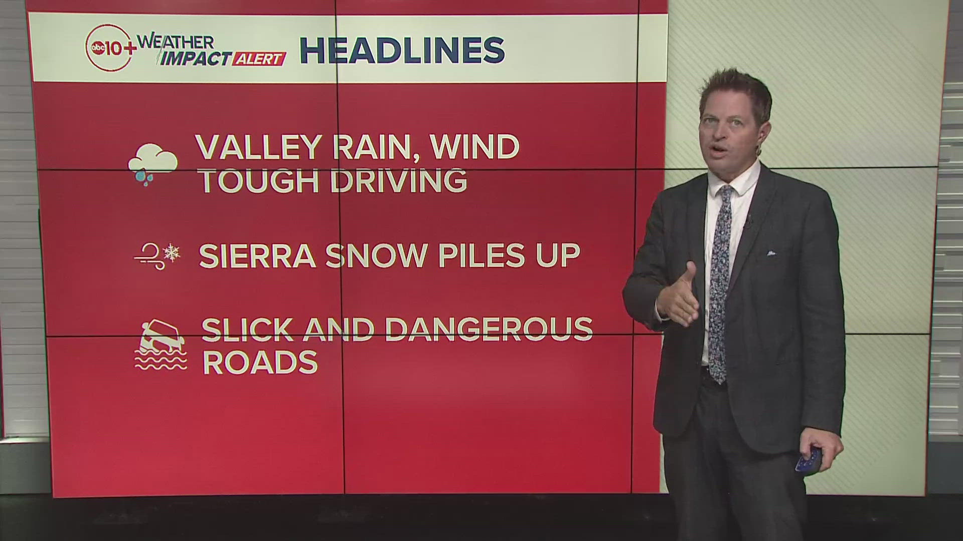
CALIFORNIA, USA — Weather conditions are causing delays or chain controls in the northern part of California and the Sierra Nevada mountains, especially between Lake Tahoe and Sacramento. Be prepared for travel delays, chain controls and possible road closures.
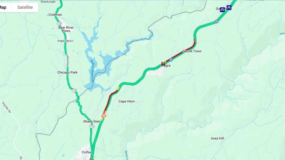
1:10 p.m. update: Westbound I-80 is closed at Secret Town in Placer County due to a crash, according to CalTrans. Cars are being diverted to Rollins Lake Road. There is no estimated time for reopening.


Early Dismissal: Due to an ongoing power outage, River City High School dismissed all students early at 11:45 a.m. the Washington Unified School District announced. All bus transportation was available.
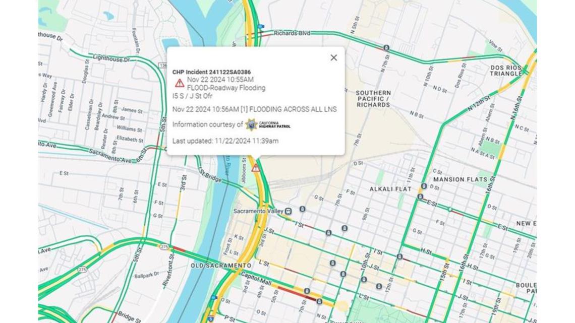
CalTrans has reported flooding at the J Street off-ramp in downtown Sacramento. There are no road closures at this time, but officials are asking drivers to proceed with caution.


- Eastbound: Trucks are being screened at Applegate, and drivers must have maximum chains in their possession.
- Westbound: Trucks are being screened 5 miles west of Reno at Mogul. Drivers must have maximum chains in their possession.
Below are the latest road conditions and here's a link to an interactive map from Caltrans.
Sacramento region traffic map:
Storm Resources
► FORECAST DETAILS | Check out our hourly forecast and radar pages
► GET WEATHER ALERTS TO YOUR PHONE | Download the free ABC10 mobile app
► GO DEEPER | Stream in-depth weather forecasts with the free ABC10+ streaming app
► WEATHER IN YOUR EMAIL | Sign up for our daily newsletter
► MEET THE WEATHER TEAM | Chief Meteorologist Monica Woods, Carley Gomez, Brenden Mincheff, Rob Carlmark
Power Outages
- Liberty Utilities: Outage Map
- PG&E: Outage Map
- Roseville Electric Utility: Outage Map
- SMUD: Outage Map
- RELATED: 5 hacks to get you through a power outage
Radar
Radar map from ABC10.com. Adjust the layers with a filter on the bottom right corner to show rain, snow, wind and current temperatures:


