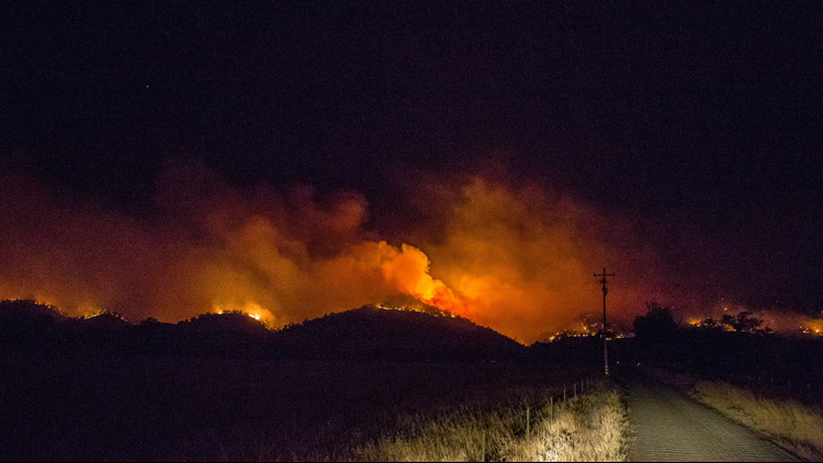
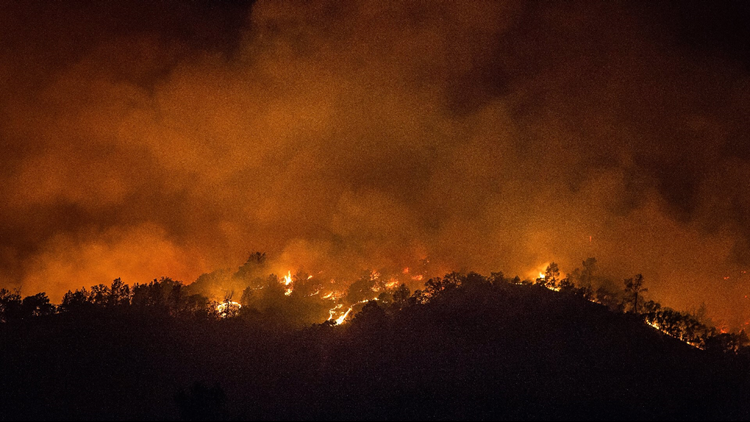
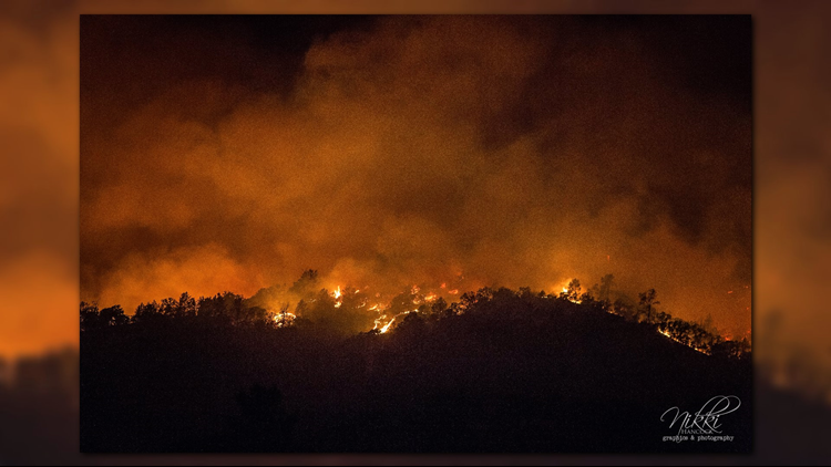
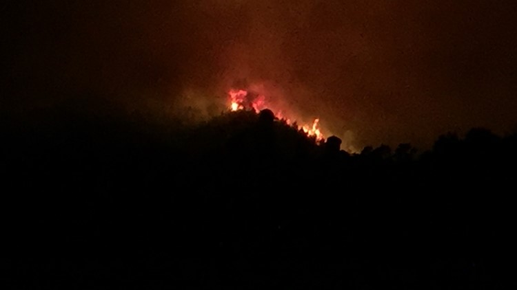
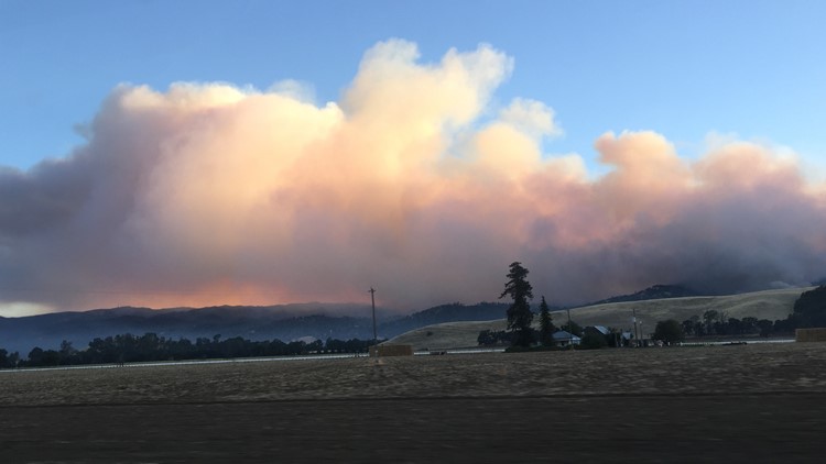
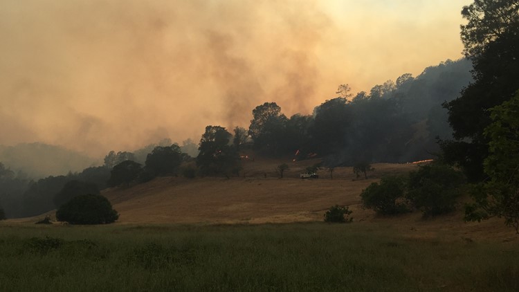
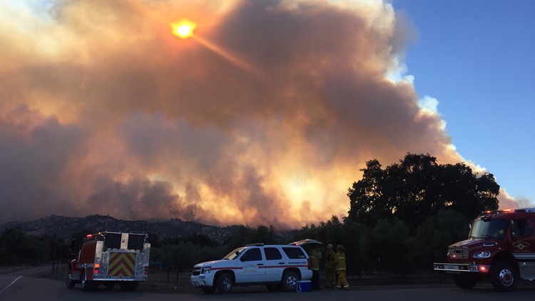
If viewing on the ABC10 mobile app click HERE for multimedia
5 p.m. Monday:
As of their most recent update, CalFire reports that the County Fire remains at 70,000 acres of land burned with five percent contained. Evacuation orders are still in place.
New evacuation advisories are being issued by the Napa County Sheriff’s Department in response to the ever-growing County Fire.
The sheriff’s office issued the advisory for the areas of Berryessa Highlands, Markley Cove and Pleasure Cove Resorts:
- East of Capell Valley Road
- North of State Highway 128 from Capell Valley Road, East to the Napa County line
- All of Steele Canyon Road
Authorities say residents in these areas should be ready to evacuate if conditions worsen. The sheriff’s office, in consultation with fire incident commanders, will ultimately determine the evacuation order is necessary.
Residents with special needs or pets requiring specialized transportation should consider extended travel times in their potential evacuation plans.
Although the evacuation advisory is precautionary, residents who choose to leave ahead of time are asked to use State Highway 128, West or Monticello Road, South in their travel route. Do not use State Highway 128, East, as authorities say there is no access into Solano or Yolo Counties from there.
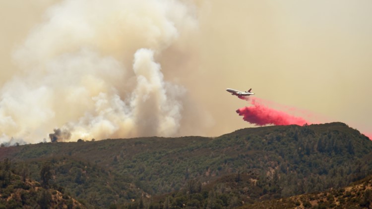
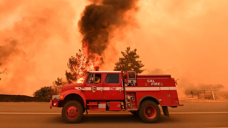
More than 2,100 fire personnel have been deployed to try and stop the County Fire, as it continues to scorch tens of thousands of acres of land in Yolo and Napa counties.
In their latest situation update, CalFire said the acreage has increased to 60,000 acres with five percent now contained.
The following locations are still under a mandatory evacuation order:
- North of Highway 128 in Yolo County, not including the City of Winters.
- South of County Road 23
- East of Berryessa Knoxville Road
- West of County Road 89
- South of the community of Esparto, however agricultural equipment will be permitted
- Residences served by Highway 128, between Monticello Dam and Pleasant Valley Road
An evacuation advisory continues for the following locations:
- North of Quail Canyon Road
- South of Highway 128
- East of the Blue Ridge mountains
- West of Pleasant Valley Road
Road closures remain in effect for the following:
- Northbound County Road 87 from Highway 128
- Berryessa Knoxville Road, from the Pope Creek Bridge to the Napa/Lake County line,
- Eastbound Highway 128 at Markley Resort
- Westbound Highway 128 at Pleasant Valley Road
- Pleasant Valley Road, South from Highway 128 remains open to serve traffic into Solano County
For questions regarding Yolo County evacuations or advisories, please dial 2-1-1
5 p.m. Monday:
As of their most recent update, CalFire reports that the County Fire remains at 44,500 acres of land burned with three percent contained.
Smoke from the fire has spread rapidly around the region, prompting a health advisory from air quality experts in Sacramento.
The following locations are still under a mandatory evacuation order:
- North of Highway 128 in Yolo County, not including the City of Winters.
- South of County Road 23
- East of Berryessa Knoxville Road
- North of Highway 128 in Yolo County, not including the City of Winters
- Residences served by Highway 128, between Monticello Dam and Pleasant Valley Road
An evacuation advisory continues for the following locations:
- North of Quail Canyon Road
- South of Highway 128
- East of the Blue Ridge mountains
- West of Pleasant Valley Road
Road closures remain in effect for the following:
- Northbound County Road 87 from Highway 128
- Berryessa Knoxville Road, from the Pope Creek Bridge to the Napa/Lake County line,
- Eastbound Highway 128 at Markley Resort
- Westbound Highway 128 at Pleasant Valley Road
- Pleasant Valley Road, South from Highway 128 remains open to serve traffic into Solano County
For questions regarding Yolo County evacuations or advisories, please dial 2-1-1
The evacuation center is located at Guinda Grange Hall at 16487 Forest Ave. in Guinda.
7:30 a.m. Monday:
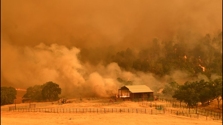
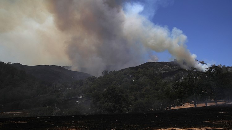
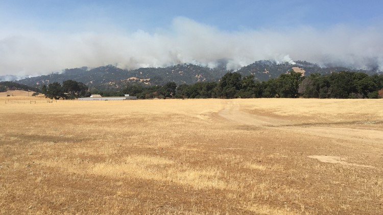
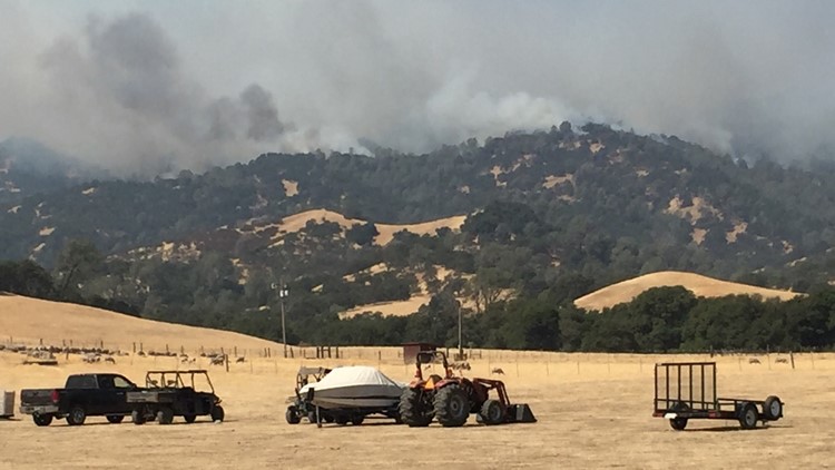
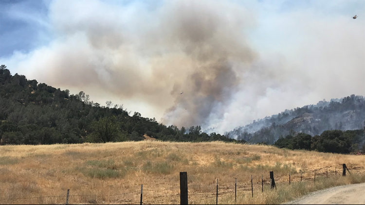
The massive County Fire continues to grow. Cal Fire is reporting the wildfire has ballooned to encompass approximately 44,500 acres of land with three percent contained.
Despite its size, the fire has not destroyed any property and no one has been injured or killed. There are about 116 structures still considered under threat.
"It's crazy! I've never heard of this place being on fire yet and I had to come check it out and see what's going on," said Sarah Mast.
Mast lives in Woodland, but owns property in one of the areas where there's a mandatory evacuation order in effect. She said an elderly woman lives next to the land she owns, but told ABC10 her neighbor was able to evacuate safely Saturday night.
Mandatory evacuations remain for the following:
- North of Highway 128
- South of County Road 23
- East of Berryessa Knoxville Road
- West of County Road 89, however agriculture industry traffic will be allowed
Residences served by State Highway 128, between Monticello Dam and Pleasant Valley Road
- Evacuation advisories remain for the following:
- North of Quail Canyon Road
- South of Highway 128
- East of the Blue Ridge Mountains
- West of Pleasant Valley Road
The following road closures are in effect:
- Northbound County Road 87 from Highway 128
- Berryessa Knoxville Road, from the Pope Creek Bridge to the Napa/Lake County Line
- Eastbound SH 128 at Monticello Dam
- Westbound SH 128 at Pleasant Valley Road
- Pleasant Valley Road, Sputh from Highway 128 remains open to serve traffic in Solano County
4:30 p.m. Sunday:
A new evacuation order is in effect for residences served by State Highway 128, between Monticello Dam and Pleasant Valley Road, Cal Fire said.
This new location is in addition to the following mandatory evacuation locations:
- North of Highway 128
- South of County Road 23
- East of Berryessa Knoxville Road
- West of County Road 89, however agriculture industry traffic will be allowed
The Solano County Sheriff’s Department has issued an evacuation advisory for the following areas:
- North of Quail Canyon Road
- South of Highway 128
- East of the Blue Ridge Mountains
- West of Pleasant Valley Road
Some road closures in effect are the following:
- Eastbound SH 128 at Monticello Dam
- Westbound SH 128 at Pleasant Valley Road
More than 22,000 acres of land has burned so far, according to the latest numbers from Cal Fire.
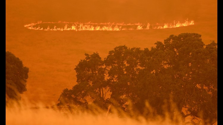
"It's still very early in the summer to be seeing this kind of fire behavior. This particular fire, we're seeing long-range spotting well ahead of the main front. So small fires are starting out in front of the main fire, which tells us that the fuels are very receptive to ignition. Each ember that can fall into the dry vegetation is going to start a new fire," warned Chris Anthony with Cal Fire.
An evacuation center is open at Boy Scout Cabin at 16960 Yolo Avenue, in Esparto.
“We're seeing fires move faster than we've ever seen them move before and with intensities that are very unusual for this time of the year so please heed those evacuation warnings and get out of the way of the fire because it helps us to be able to do our job,” Anthony said.
An information center is located at Winters Community Center at 201 Railroad Avenue in Winters. The information center is meant for residents who have questions regarding the County Fire. For concerned families, the Cache Creek Campground is not affected by the fire. Campers' access to and from the campground is not affected either.
For questions regarding Yolo County evacuations or advisories, please dial 2-1-1 For questions regarding Solano County evacuations or advisories please dial (707) 398-8261.
The University of California-Davis, in conjunction with Cal OES, is working on animal evacuation and sheltering plans for the pets caught in the County Fire.
1:30 p.m. Sunday:
Crews continue to battle the massive County Fire. The size of the fire was last updated as being 22,000 acres with zero percent containment.
Mandatory evacuations remain in effect for the following:
- North of Highway 128
- South of County Road 23
- East of Berryessa Knoxville Road
- West of County Road 89, however agriculture industry traffic will be allowed
The Solano County Sheriff’s Department has issued an evacuation advisory for the following areas:
- North of Quail Canyon Road
- South of Highway 128
- East of the Blue Ridge Mountains
- West of Pleasant Valley Road
An evacuation center is open at Boy Scout Cabin at 16960 Yolo Avenue, in Esparto.
An information center is located at Winters Community Center at 201 Railroad Avenue in Winters. The information center is meant for residents who have questions regarding the County Fire. For concerned families, the Cache Creek Campground is not affected by the fire. Campers' access to and from the campground is not affected either.
11:30 a.m. Sunday:
The County Fire has grown to 22,000 acres, according to CalFire.
Mandatory evacuations remain in effect for the following:
- North of Highway 128
- South of County Road 23
- East of Berryessa Knoxville Road
- West of County Road 89
The evacuation advisory remains for South of County Rd 81 and West of County Rd 85.
Two evacuation centers are currently open. One is located at Guinda Grange Hall in the Community of Guinda 16487 Forest Avenue. A second is at Winters Community Center at 201 Railroad Avenue, Winters, California.
11:00 a.m. Sunday:
CalFire reports mandatory evacuation orders for:
- North of Highway 128
- South of County Road 23
- East of Berryessa Knoxville Road
- West of County Road 89
There is an evacuation advisory for: South of County Rd 81 and West of County Rd 85.
An evacuation center is set up at Guinda Grange Hall in Guinda at 16487 Forest Ave.
Residents are advised to call 2-1-1 for questions.
8:55 a.m. Sunday update:
CalFire reports the County Fire is now 16,500 acres without any containment. Mandatory evacuations remain in effect for County Rd 63 to County Rd 76, West of Highway 16 and the Murphy Ranch area. An evacuation center is set up at Rumsey Grange Hall.
9:00 p.m. Saturday update:
CalFire reports the fire is now at 8,000 acres.
Get the latest information direct from CalFire here.
Original story:
Firefighters are battling a fire in Yolo County.
The County Fire is now at 4,000-acres burning near County Road 63 and Highway 16, according to Cal Fire.
Mandatory evacuations are in effect near County Road 63 to County Road 76, West of Highway 16 and the Murphy Ranch area.
The Lake County Sheriff's Department has also issued mandatory evacuations for the community of Double Eagle. Road closures in the are include Mule Skinner Road at Hwy 20, Walker Ridge Road at Hwy 20 and Hwy 20 between Highways 16 and 53.
There's an evacuation center set up at Rumsey Grange Hall off Hwy 16.
The fire is at zero percent contained.
Stay with ABC10 as more information comes in.
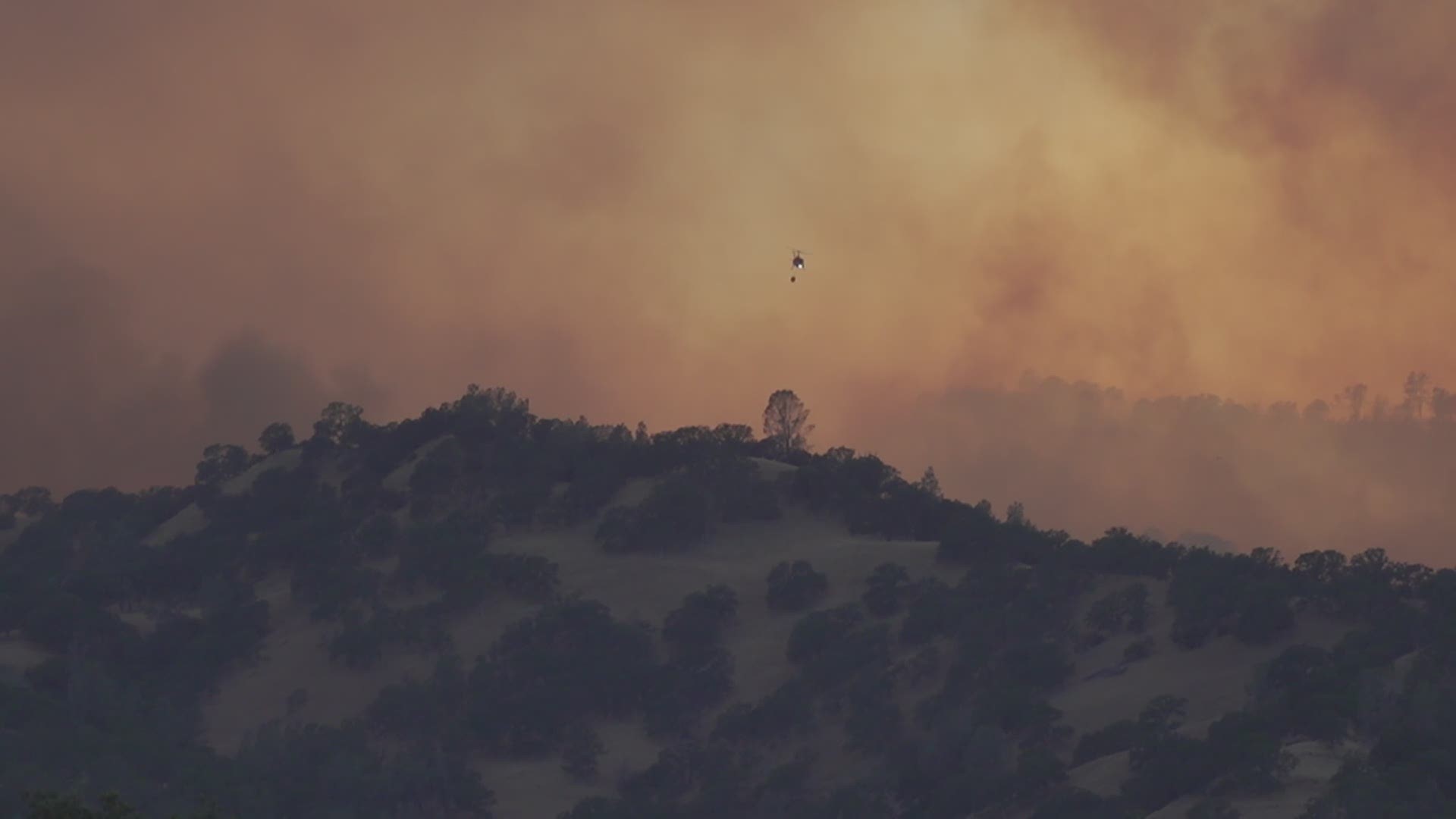
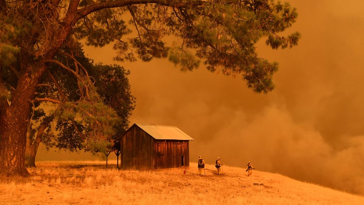
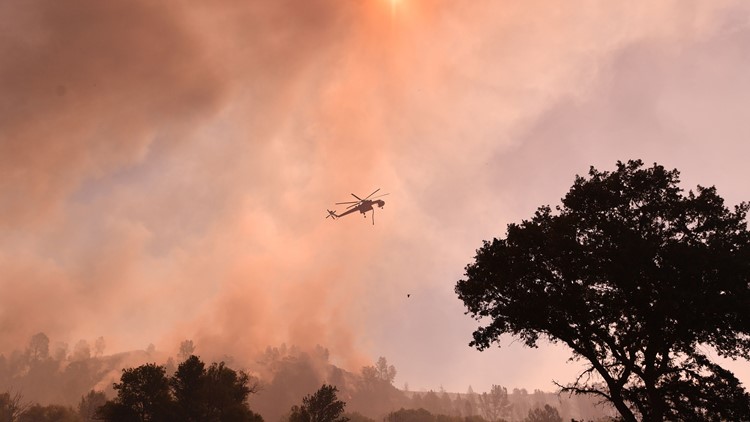
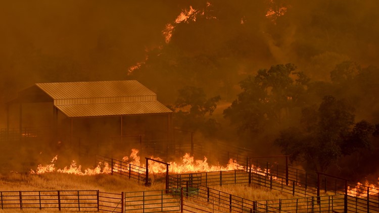
PHOTOS: County Fire
Before you go... Devastating fires aren't just a rural problem anymore. As our climate and communities change, so does when and where wildfires will strike next. ABC10's Monica Woods shows why.

