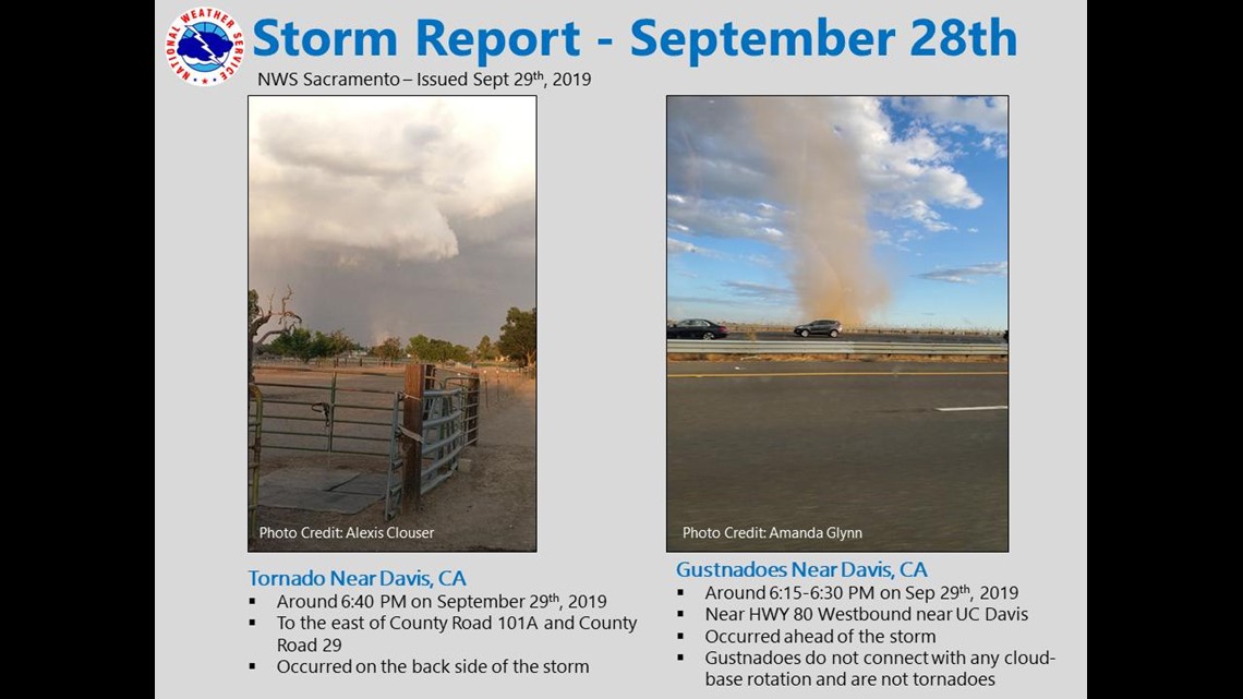
DAVIS, Calif — A large thunderstorm in Northern California morphed into a supercell Saturday evening producing heavy rain, lighting, gusty winds and large quarter-sized hail.
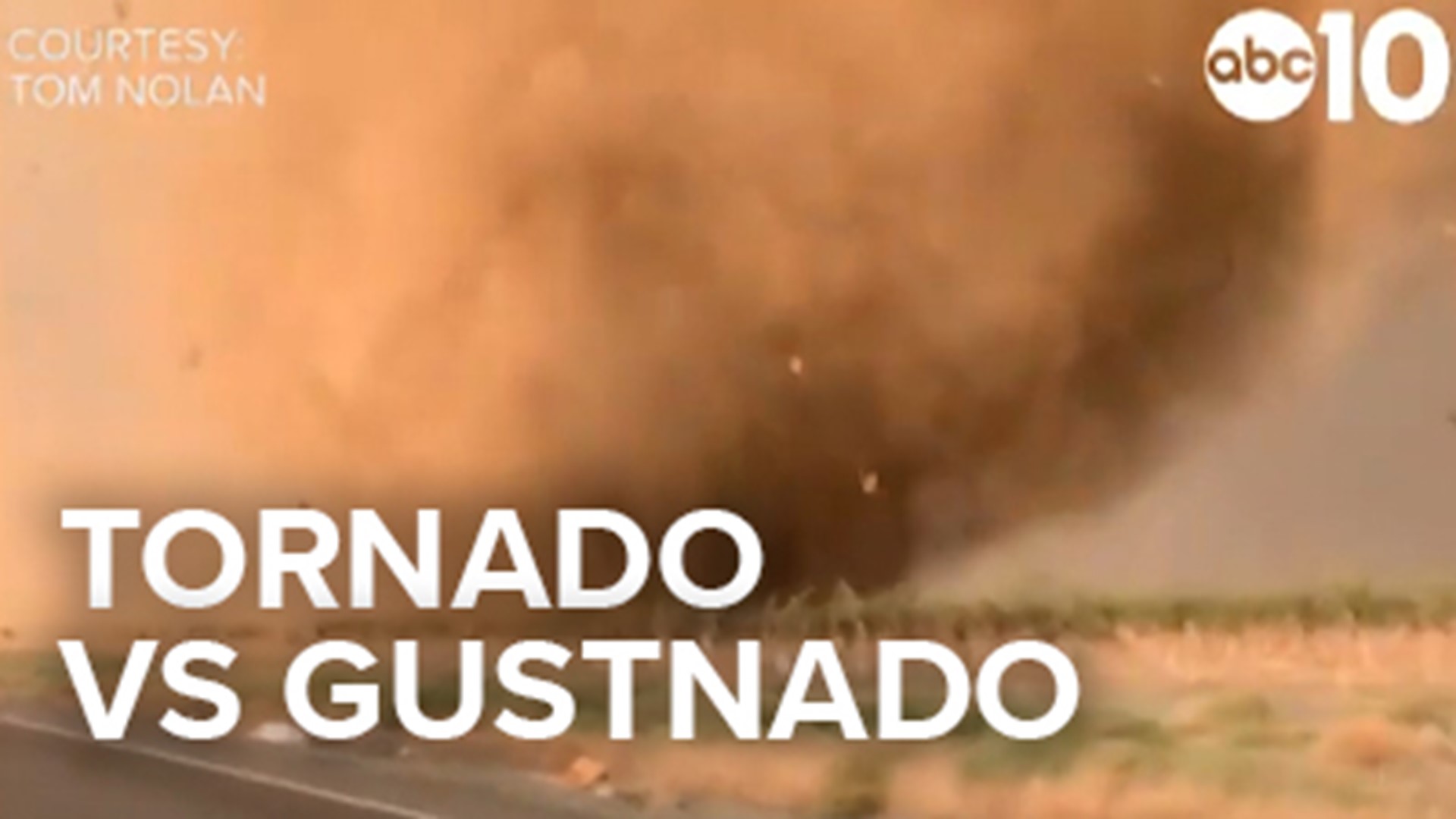
It also produced something else that has sparked discussion online about what exactly was rotating and ripping through fields in Yolo County. Numerous photos of what appears to be a tornado soon flooded social media and at first glance it really does look like a tornado.
The National Weather Service has a team that will evaluate data, including photos and videos, to officially determine what it was. NWS officials said there were multiple gustnadoes and a tornado that spawned from the rotating thunderstorm.
The term gustnado is not a common term outside of meteorology and is used to determine the origin of the tornado. A gustnado will have the look and impact of a tornado but forms away from the base of the thunderstorms. They can be violent and cause damage and injury.
Landspout is also a term used to describe a tornado that often lacks a condensation cloud connecting it to the thunderstorm. The impact of a landspout is violent strong rotating winds that can cause damage and injury.


A tornado forms from a supercell rotating thunderstorm, originating from the cloud base lowering then connecting to the ground. The impact is violent strong rotating winds that can cause damage and injury.
A dust devil is a strong column of rotating wind, but they form absent of any cloud above. They can also cause damage or injury.
This storm produced both gustnadoes and a tornado and various images will show one or the other or possibly both.
Do you have any weather questions? Head over to Rob Carlmark's Facebook and ask away.
READ MORE:
FREE ABC10 APP:
►Stay In the Know! Sign up now for ABC10's Morning Blend Newsletter


