SACRAMENTO, Calif. — California is experiencing one of its most active weather periods in quite some time. The National Weather Service hazards map is a palette of colors associated with the numerous hazards currently affecting the state.
Everything from flooding to blizzards are expected in the next few days thanks to a low pressure system originating from western Canada. Here are some of the highlights of the storm statewide:
Snow on the beach in far Northern CA
This system is so cold it's dropping snow all the way to sea level along California's Northern Coast.
While this isn't an extremely rare phenomenon, the forecasted amounts of snow are. In fact, some places in the Humboldt area haven't seen this much snow since the 90s.
Low snow in the Sacramento and San Joaquin Valleys
The cold Canadian air dropping into California will allow for snowfall in areas that rarely see it.
While snow won't fall at as low of an elevation as up north, snowfall is possible as low as 500 feet in Northern California. Areas like Sacramento, Stockton, and Modesto aren't expected to see any snowfall but other types of frozen precipitation have already fallen in these areas.
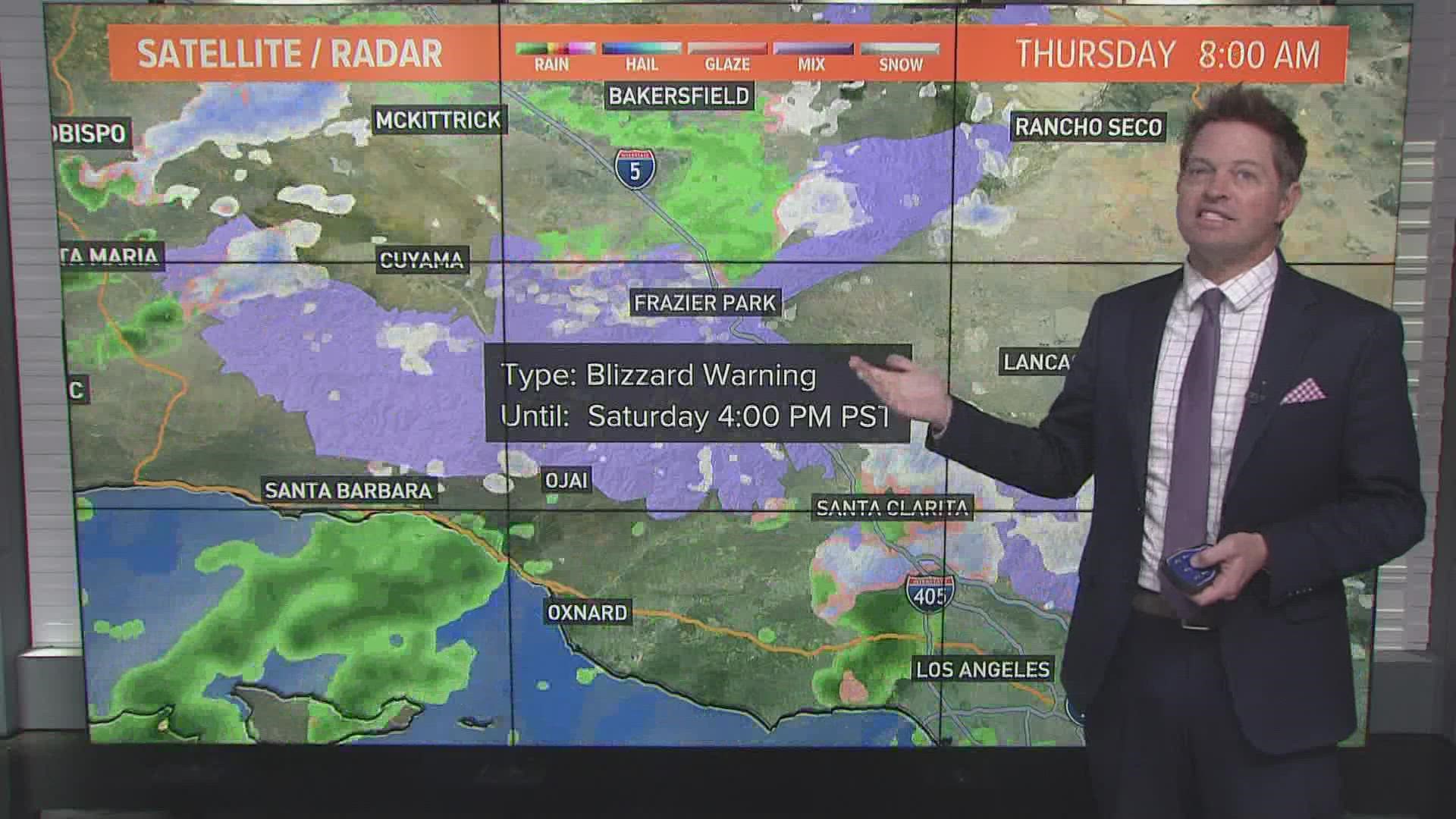
Blizzard Warnings in Southern California
The bulk of the moisture associated with this system is expected to impact Southern California in what will be their most impactful storm so far this winter.
NWS San Diego issued its first ever Blizzard warning for the San Bernardino County Mountains on Thursday and NWS Los Angeles issued their first since 1989.
Up to 7 feet of snow is forecast above 4,500 feet in Southern California along with wind gusts of 60-75 mph.
Flooding Possible in Southern CA
Because the system has access to more moisture than up here in the northern half of the state, flooding will be more of a concern.
Up to 5 inches of rain are expected in some areas along with very cold temperatures for Southern California standards. The high temperature in Los Angeles is expected to only reach 49 degrees Saturday.


