
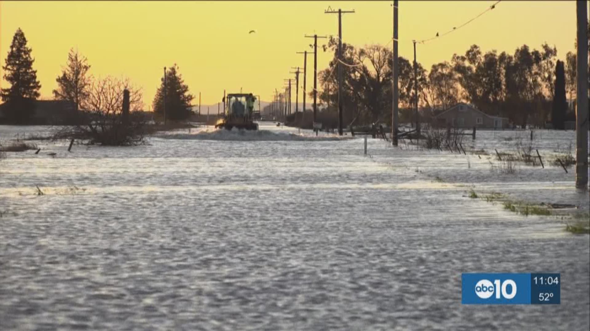
It is a flood zone in South Sacramento County between Interstate 5 and Highway 99. The worst flooded areas are just North of Elk Grove to just South of Twin Cities Road.
Hundreds of people in the Point Pleasant area were told to leave their homes because of flooding, as roads and surrounding farms took in all the water.
Dairyman, Jeremy Simoes, has a farm with 1,000 milk cows in South Elk Grove. The dairyman was touring his farm Saturday, assessing the damage from the morning’s flooding.
"It's a rough winter, that's for sure," he said.
The farmer told us a lot of people in the area thought the flooding was over last month.
“It was worse than a month ago, it was a lot higher,” Simoes said. “We moved cows back to other peoples’ farms, and then this happened.”
Most of the flooded roads are so deep, Jeremy said the milk trucks are not able to get to some of the dairies.
Every dairy cow must be milked twice a day, every day of the week.
Simoes said he had workers milking around the clock, and milk trucks come twice a day. He said it is the way they make money and without the truck getting to the dairy farm, the farmer will have to dump milk and lose money.
The only other time the Simoes dairy was hit this badly was in 1997. Simoes thinks this year could have been prevented with more maintenance on the levees.
"We are supposed to have good levee systems we aren't supposed to get this flooded," he said.
One of the problems with the maintenance is the privately-owned levees, because over the last 20 years the Army Corps of Engineers has worked to fix most of the public levees.