More rain and snow in Northern California starting Wednesday as the pattern of weak, warmer storms rolls through the region.
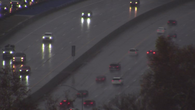
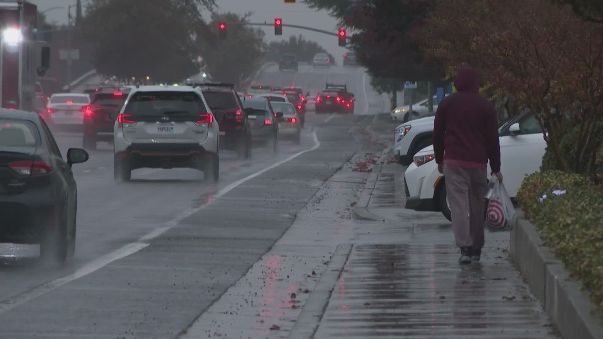
Expect a wet morning commute as the main band of rain is impacting the region from 7-10 a.m. Rain will continue through the late morning hours and then will become more showery the rest of the day as the cold front pushes east into the Sierra.
In total, most valley locations can expect to see 0.1-0.25" Wednesday with higher totals north of Marysville. About 0.5-1.5" is expected in the foothills.
Traffic
Here are the latest road conditions and an interactive Caltrans map.
Interstate 80
- Eastbound I-80: Chains are required from Cisco in Placer County to the Donner Lake Interchange in Nevada County. Eastbound trucks are being screened at Applegate in Placer County, according to Caltrans.
- Westbound I-80: Chains are required from the Donner Lake Interchange to 2.5 mi east of the Junction of State Route 20. Westbound trucks are being screened 5 miles west of Reno /at Mogul in Washoe County, according to Caltrans.
Highway 50
- Chains are required from Twin Bridges to Meyers in El Dorado County, according to Caltrans.
TRAFFIC
Sacramento region traffic map:
Radar:
Radar map from ABC10.com. Adjust the layers with a filter on the bottom right corner to show rain, snow, wind and current temperatures:
STORM RESOURCES:
► RESOURCES | Helpful information and emergency resources to get you through this storm
► FORECAST DETAILS | Check out our hourly forecast and radar pages.
► GET WEATHER ALERTS TO YOUR PHONE | Download the ABC10 mobile app
► WEATHER IN YOUR EMAIL | Sign up for the ABC10 Today newsletter
Power Outages
PG&E power outages.
Watch more from ABC10 | California Atmospheric River | Heavy rain and snow to start the week - Weather Update


