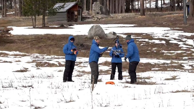
SACRAMENTO, Calif — The first snowpack survey of the year at DWR Phillips Station brought unfortunate news about the state's snowpack.
The current depth of the snowpack at the survey site, which is one of more than 260 snow survey sites across California and located on Highway 50 near Sierra-at-Tahoe, sits at 7.5". This equates to a snow water content of 3.5".
Snow water content is the depth of water that would cover the ground if snow cover was in a liquid state, according to the National Weather Service.
The percent average to date is 30% while the April 1 average is at 12%. The January snow survey last year was drastically different as there was already five feet of snow on the ground at the site.
"We always use that April 1 snow metric because in terms of snow water content, that's usually when we see our peak annual snowpack," said Sean de Guzman with the DWR.
This is slightly above the statewide number of 25% found using an automated snow sensor network. The snowpack at the Phillips location is located in the American River watershed, therefore contributing to the filling up of Folsom Lake during the spring and early summer snowmelt.
"Snow water equivalent is really that critical measurement we are looking for because theoretically that is the amount of water in the snowpack," said de Guzman.
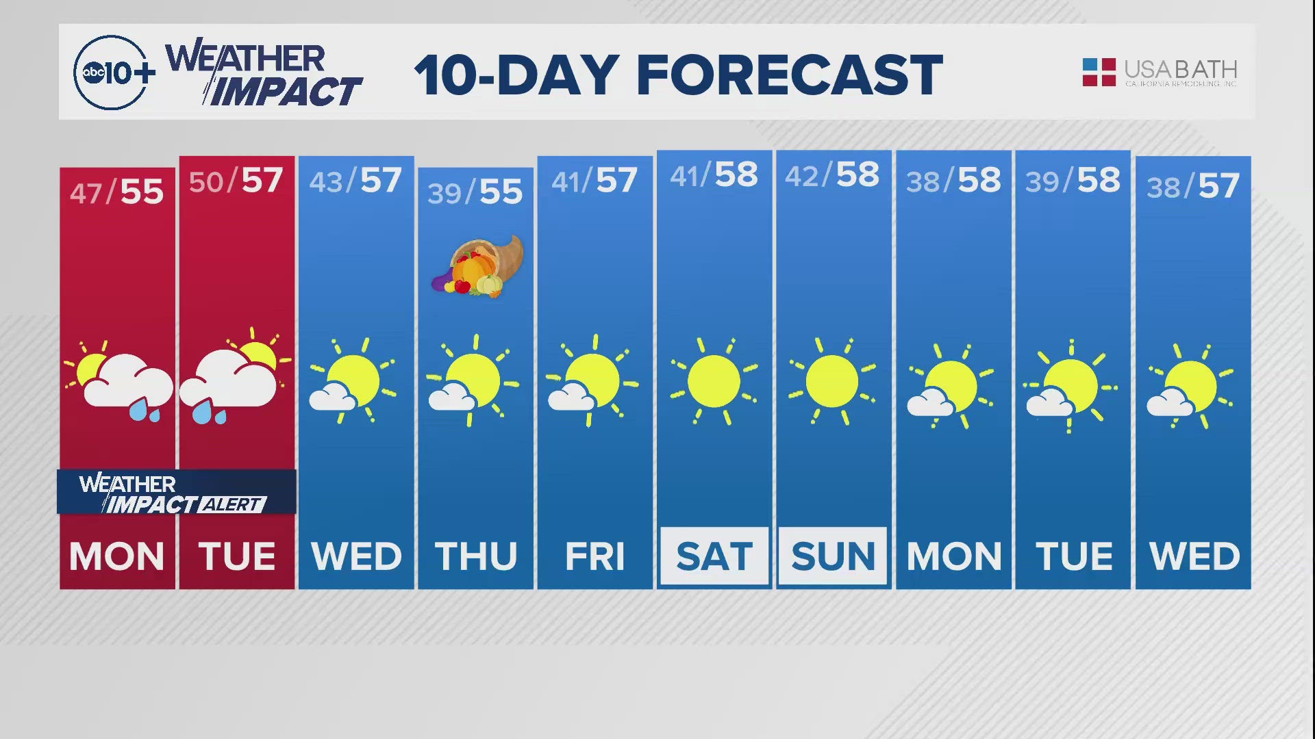
The data is used to determine how much water will make it into reservoirs that are fed by the spring and summer runoff. Although the winter is off to a slow start, two cold systems this week will contribute to the snowpack this week starting Tuesday night.
WATCH ALSO: Could January storms bring necessary snow?


