SACRAMENTO, Calif. — Weather will become very active later this week as a new series of storms are set to affect Northern California for days with inches of rain and feet of snow.
WHEN
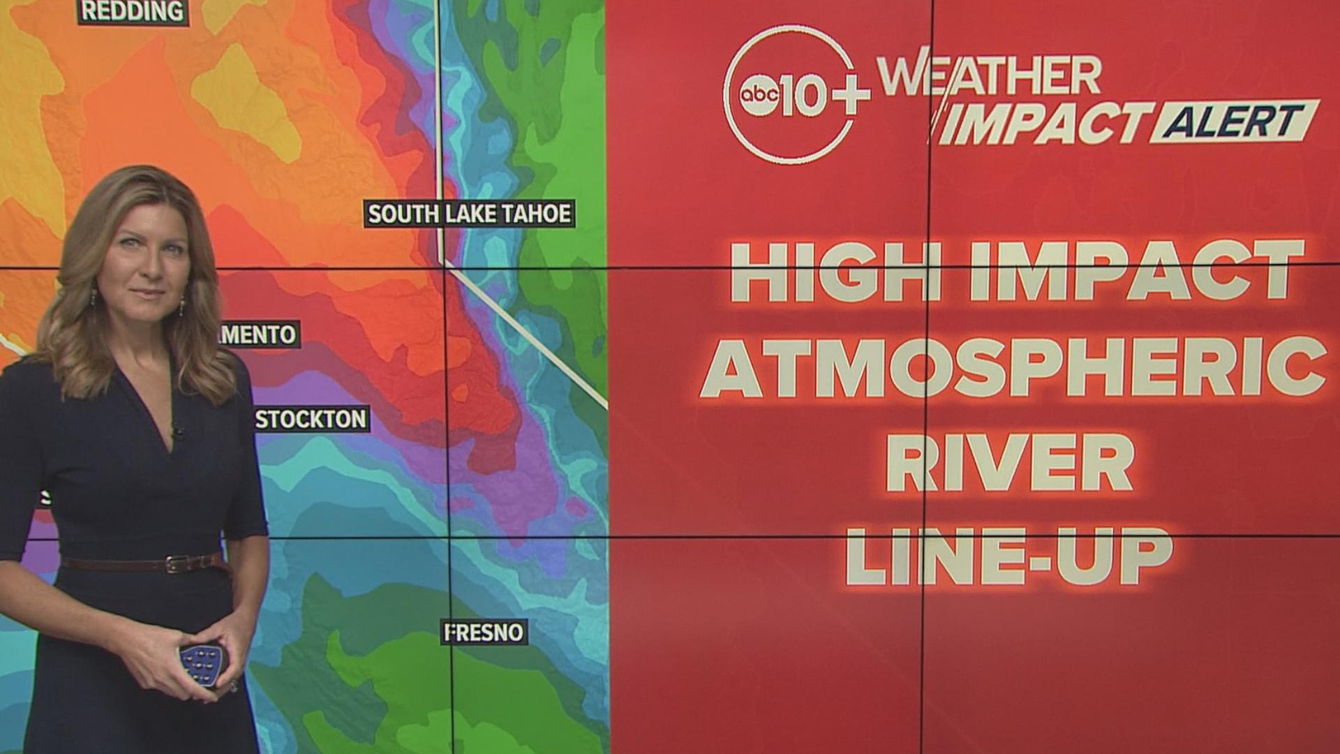
A new series of storms starts to move in during the day Wednesday. This is from an atmospheric river set up. There will be a big area of low pressure pulling in deep moisture from the South. These storms tend to have large amounts of rain and snow and are among the bigger storms you will see in a season.
With that said, atmospheric river storms tend to pull up warmer air during part of the storm cycle and snow levels will need to be watched.
The initial storm will have snow levels near 6,000 feet but then rise to about 7,000 feet at times. We will get a rain-snow mix in the beginning of the storm cycle then the snow level will lower and snow will pile up over the mountain passes and below.
The cycle will come in waves and last through the weekend until at least Monday. There should be a break in the action before Thanksgiving but at this point rain looks like it's coming back on Thanksgiving or at least around it. Stay tuned.
► Stay up to date with the forecast and weather impact team with the ABC10+ streaming app. Here's how to download it for free.
IMPACT


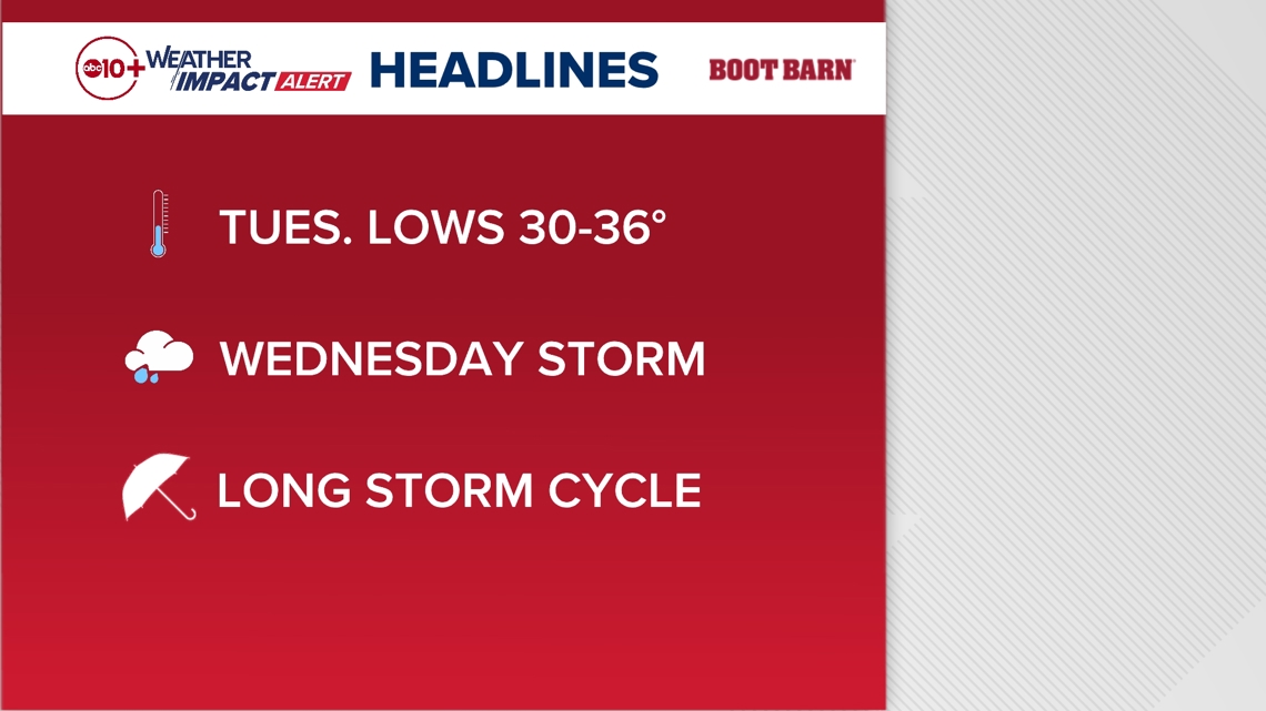
Before the storm cycle arrives look for cold temperatures Tuesday morning with lows among the lowest of 2024. Lows could dip down to 30-36 degrees in valley locations. For this reason, we have our first Freeze Warning of the year until 10 a.m. Tuesday.
When the cycle arrives Wednesday, expect prolonged periods of rain and snow. As the storm continues, travel will be slow and slick. Drains will get clogged causing localized street flooding. For the Sierra, chain controls will be an issue at times and depending on traffic, crashes and weather there may be road closures at times for the passes.
Weather Impact Resources
► FORECAST DETAILS | Check out our hourly forecast and radar pages
► GET WEATHER ALERTS TO YOUR PHONE | Download the free ABC10 mobile app
► GO DEEPER | Stream in-depth weather forecasts and investigative reports with the free ABC10+ streaming app
► WEATHER IN YOUR EMAIL | Sign up for our daily newsletter
► MEET THE WEATHER IMPACT TEAM | Chief Meteorologist Monica Woods, Carley Gomez, Brenden Mincheff, Rob Carlmark
NEED
Since this system is several days out many details will be fine tuned, but timing and totals will change. Also, the southern extent to the heavier rain is fairly sharp to a little below I-80 for Wednesday, but subsequent days will drag the rain/snow line to the south and we expect all of Northern California to be affected in the coming days with rain and snow into the weekend.
Plans for travel, work and school should be looked at as well. Assume commutes will be messy and slow. Pay extra attention to speeding as it's the primary cause of crashes in bad weather. If you have localized street flooding, a clogged drain is often the cause and you can safely locate and clear the drain if you choose.
Keep watching for changes in the forecast ahead.
ABC10: Watch, Download, Read
For more ABC10 news and weather coverage on your time, stream ABC10+ on your TV for free:
► Roku - click here
► Amazon Fire - click here
► Apple TV - click here
GO DEEPER: The ABC10 Weather Impact Team investigates algae and bacterial threats to some of California’s largest natural lakes.


