
SACRAMENTO, Calif —
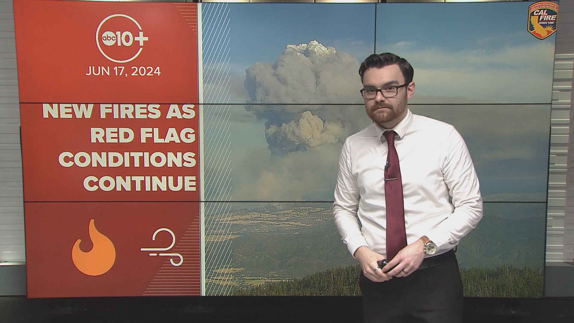
Several California wildfires have sparked this week, aligning with the first Red Flag Warning of the season, due to gusty northerly winds and low humidity values.
The largest active fires by acres as of Tuesday are the Post Fire in Los Angeles and Ventura counties, the Sites Fire in Colusa County, and the Aero Fire in Calaveras County.
According to data from Cal Fire, more than 66,000 acres have burned so far this year as of June 17.
The last rainfall in the Sacramento area happened on May 4 and both May and June have been warmer than average, leading to a speedy drying out process. There is also more vegetation growth this year in the Sacramento Valley and in the foothills compared to last year, according to the National Interagency Fire Center. As a result, wildfire season has started fast in the lower foothills and the valley.
In the Sierra and along the Coastal Range, below-average fire potential is forecast through July, according to the National Interagency Fire Center.
In an outlook for this fire season, Cal Fire said the annual Southwest Monsoon season may start later, which could impact lighting-related fire risk in Northern California later this year.
Cal Fire's active incidents include wildfires burning 10 or more acres. These figures don't account for all the acres burned in the past week.
Active Fires in California
Post Fire
Location: Los Angeles, Ventura Counties
Started June 15
Acres Burned: 15,611
Containment: 24%
Sites Fire
Location: Colusa County
Started June 17
Acres Burned: 15,565
Containment: 15%
Aero Fire
Location: Calaveras County
Started June 17
Acres burned: 5,425
Containment: 23%
Point Fire
Location: Sonoma County
Started June 16
Acres Burned: 1,207
Containment: 40%
Hesperia Fire
Location: San Bernardino County
Started June 15
Acres Burned: 1,078
Containment: 72%
Junes Fire
Location: Butte County
Started June 15
Acres Burned: 1,056
Containment: 95%
Fire Map
For a map of wildfires burning in Northern California, view the map from the National Interagency Fire Center below.
Largest inactive fires in California so far in 2024
Corral Fire
Location: San Joaquin County
Date Started: June 1
Acres burned: 14,168
Lost Fire
Location: Kern County
Date Started: June 6
Acres burned: 3,600
West Fire
Location: Kern County
Date Started: May 30
Acres Burned: 1,575
The Excelsior Fire in Sacramento County reached 100% containment on Monday after burning almost 900 acres.
WATCH ALSO:


