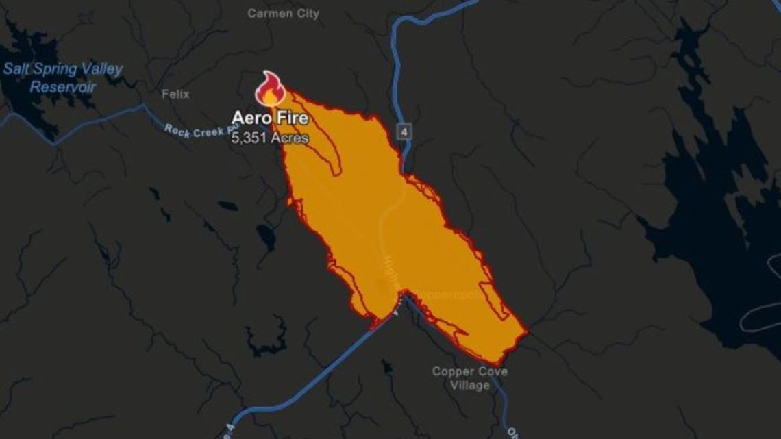
COPPEROPOLIS, Calif. — The Aero Fire in Copperopolis is 52% contained as of Thursday and has burned 5,351 acres.
The majority of the evacuation orders for the fire have been lifted, but some still remain within the burn scar.
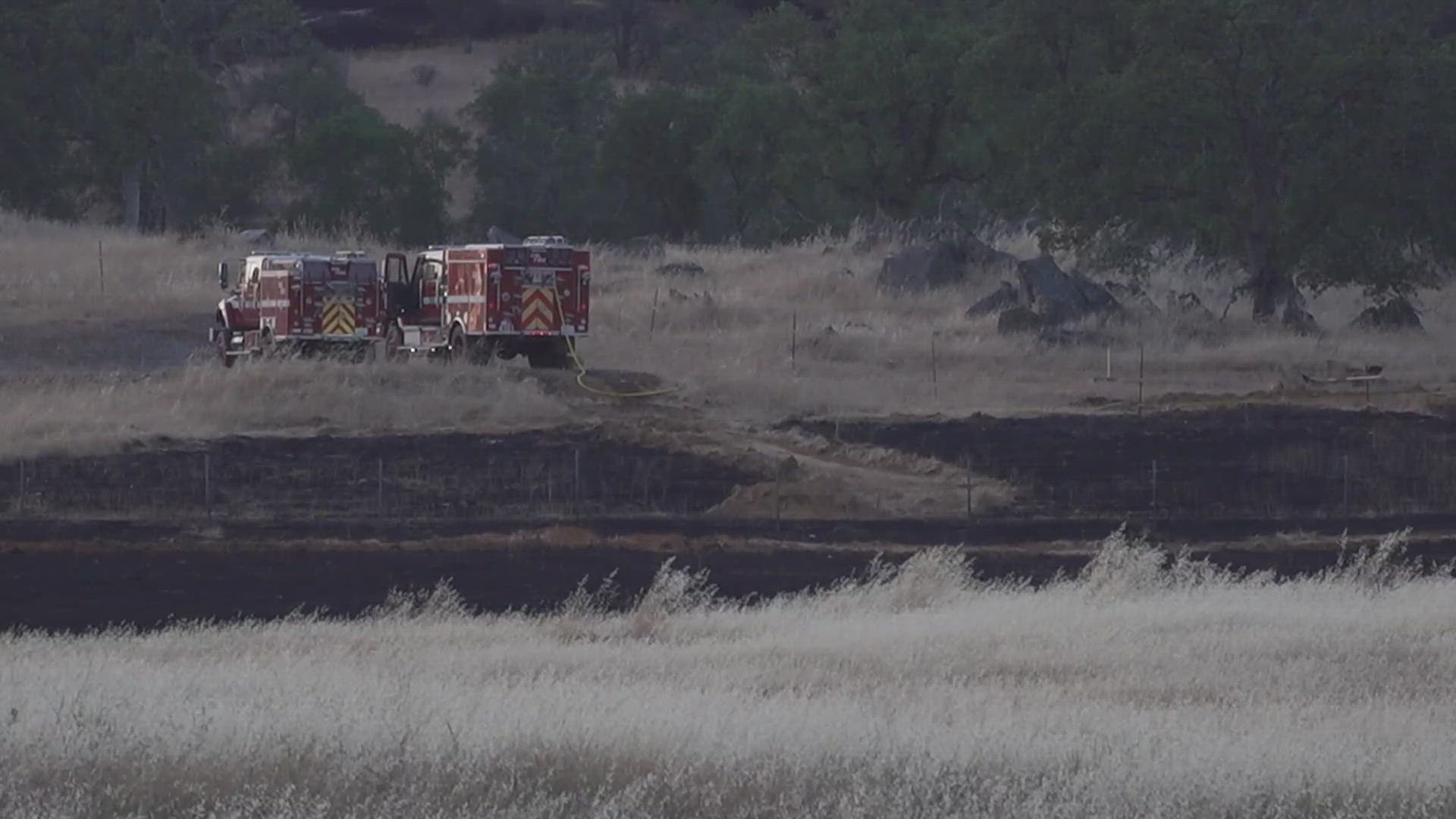
While winds have decreased drastically, many crews are still working the fire to eliminate hot spots. Nonetheless, it's a sigh of relief for the people of Copperopolis. Those living outside the burn scar were able to return home.
“There is no raging fire,” said Rick Carhart, Cal Fire spokesperson, on Wednesday.
However, he added that the work to contain the fire is far from over. Crews continue to look for places that are still smoking and stumpings that are burning.
In the meantime, the Calaveras County Water District is asking people in Copperopolis to conserve water so fire crews don't run low.
The Calaveras County Sheriff's Office said two brothers from Stockton were arrested in the evacuation area on suspicion of stealing mail among other charges.
A firefighter was hurt during the blaze with what officials described as a "minor" injury on Tuesday. Two structures were destroyed, two structures were damaged and 542 structures were threatened as of Thursday, according to Cal Fire.
Stay Informed
Evacuations
All evacuation warnings were lifted in Calaveras County as of 11 a.m. Wednesday, according to Cal Fire. Evacuation orders are still in place for the following zones: CCU – 147-C, CCU – 152-B, CCU – 153-B, CCU -168-B.
All evacuation warnings in Tuolumne County were lifted, according to Cal Fire.
Here are the latest road closures:
- Pyle Road at O’ Byrnes Ferry Road
- Rock Creek at Highway 4
- Britchen Drive at the fire perimeter line
- Rock Creek at the fire perimeter line
Cal Fire said there will be public safety crews in the repopulated and evacuated areas for the next several days to keep residents and their property safe. There may be traffic interruptions due to fire crews and utility workers. PG&E crews are also working to restore power to impacted areas.
Fire Perimeter Maps
This is a map from Cal Fire as of June 20 at 6 a.m.


A map from the National Interagency Fire Center is available below.
WILDFIRE PREPS
If you live in a wildfire-prone zone, Cal Fire suggests creating a defensible space around your home. Defensible space is an area around a building in which vegetation and other debris are completely cleared. At least 100 feet is recommended.
The Department of Homeland Security suggests assembling an emergency kit that has important documents, N95 respirator masks, and supplies to grab with you if you’re forced to leave at a moment’s notice. The agency also suggests signing up for local warning system notifications and knowing your community’s evacuation plans best to prepare yourself and your family in cases of wildfires.
Some counties use Nixle alerts to update residents on severe weather, wildfires, and other news. To sign up, visit www.nixle.com or text your zip code to 888777 to start receiving alerts.
PG&E customers can also subscribe to alerts via text, email, or phone call. If you're a PG&E customer, visit the Profile & Alerts section of your account to register.
What questions do you have about the latest wildfires? If you're impacted by the wildfires, what would you like to know? Text the ABC10 team at (916) 321-3310.
For more ABC10 news and weather coverage on your time, stream ABC10+ on your TV for free:
► Roku - click here
► Amazon Fire - click here
► Apple TV - click here
WATCH ALSO:


