ORANGE COUNTY, Calif. — Click here for the latest updates on the Airport Fire.
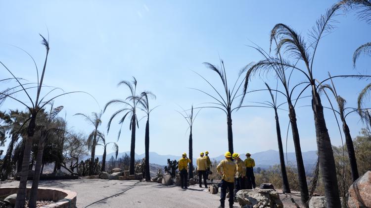
The Airport Fire in Orange and Riverside counties remained at 37 square miles (96 square kilometers) and 19% containment as of Sunday.
“We’re being helped by the weather and that weather will continue for a couple of days so we’re making good progress," said Orange County Fire Authority Operations Section Chief Albert Ward.
Firefighting efforts are expected to get a significant boost from thick fog and high humidity Sunday night, and from cooler temperatures and light rain Sunday and Monday, according to the fire authority.
Crews were able to gain access to an area previously blocked by a rock slide. However, the southern edge of the fire is still marked by “very rugged inaccessible country” that will require helicopters to bring crews in or a long hike, Ward said Sunday.
Despite favorable weather, there is still fire risk above 4,000 feet (1,200 meters) in elevation, which remains dry. Smoldering vegetation up high can roll downhill and ignite unburned vegetation, the fire authority said.
Fire Map
This map from the National Interagency Fire Center shows fire activity (this may take a few seconds to load):
Evacuation Map
Find information on evacuation shelters and road closures HERE.
An evacuation map for Orange County and Riverside County is available below.
Wildfire Preps
If you live in a wildfire-prone zone, Cal Fire suggests creating a defensible space around your home. Defensible space is an area around a building in which vegetation and other debris are completely cleared. At least 100 feet is recommended.
The Department of Homeland Security suggests assembling an emergency kit that has important documents, N95 respirator masks, and supplies to grab with you if you’re forced to leave at a moment’s notice. The agency also suggests signing up for lvocal warning system notifications and knowing your community’s evacuation plans best to prepare yourself and your family in cases of wildfires.
Some counties use Nixle alerts to update residents on severe weather, wildfires, and other news. To sign up, visit www.nixle.com or text your zip code to 888777 to start receiving alerts.
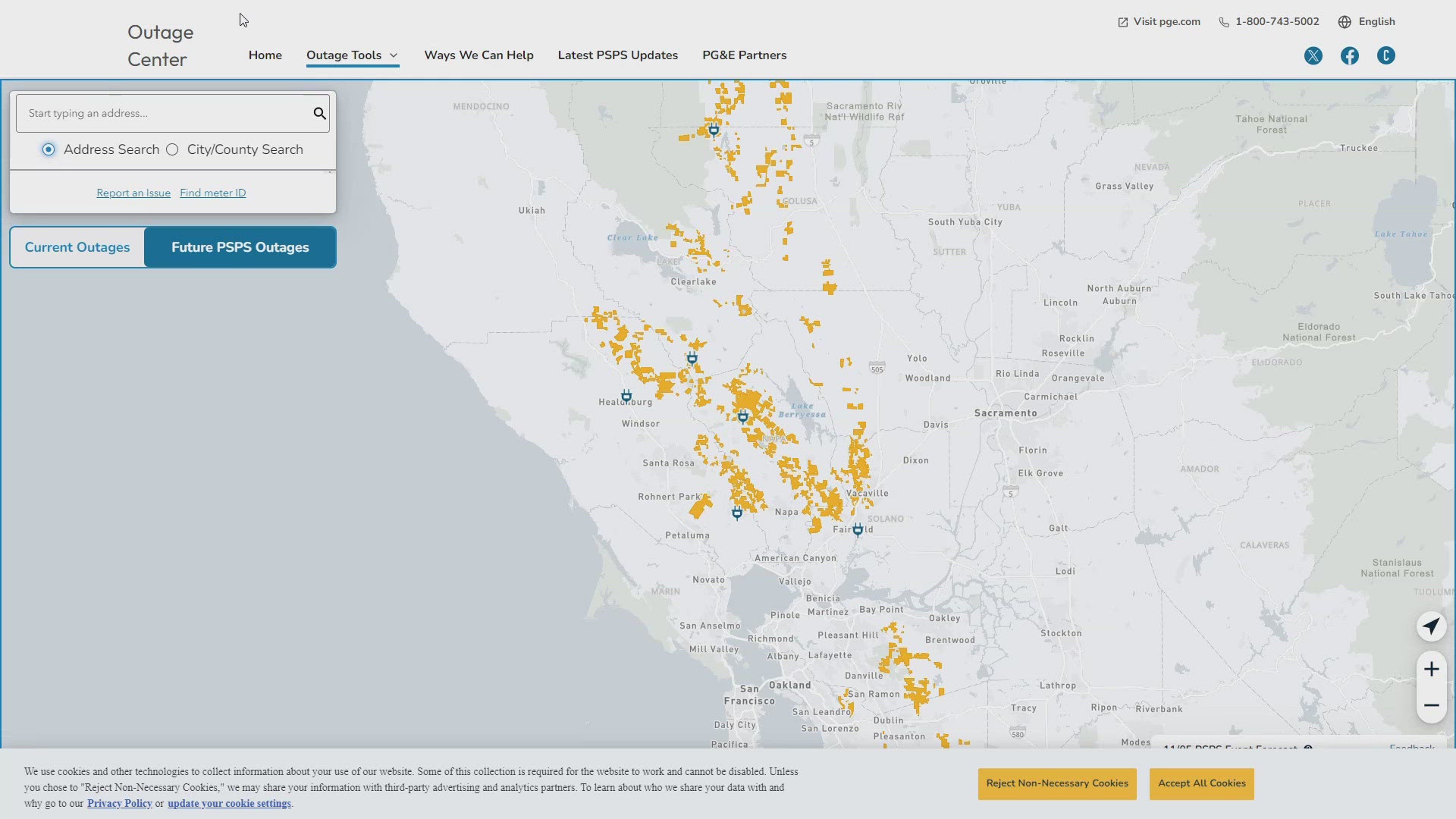
PG&E customers can also subscribe to alerts via text, email, or phone call. If you're a PG&E customer, visit the Profile & Alerts section of your account to register.
What questions do you have about the latest wildfires? If you're impacted by the wildfires, what would you like to know? Text the ABC10 team at (916) 321-3310.
For more ABC10 news and weather coverage on your time, stream ABC10+ on your TV for free:
► Roku - click here
► Amazon Fire - click here
► Apple TV - click here
WATCH ALSO: