
PIONEER, Calif. — As the Caldor Fire in El Dorado County sets its sights on the Tahoe Basin, it is also inching closer and closer to neighboring Amador County.
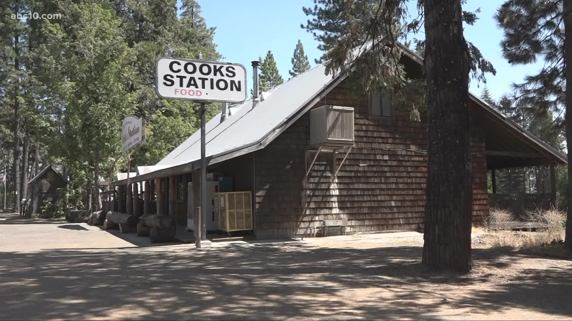
On Sunday, Highway 88 closed just before Dew Drop Road and just a few miles up the road near Pioneer, sits the historic Cooks Station Restaurant. The Brawley family has owned it since 1980.
The family says this is as close as a fire has come to their beloved eatery.
Now, owner Ron Brawley is in a race against the clock knocking down small trees, creating defensible space, to save his restaurant and two homes and a number of vehicles.
"We've done a lot of work over the years putting fuel breaks in, and Sierra Pacific has done a good job on the outside of our property so I'm pretty confident," Brawley said.
Still, the family isn't taking any chances. Wife Cathy and son Jeremy are helping to rake up and clear debris away from structures.
"So we live off the grid here no power except what we power from, so right now, I'm cleaning out all around the diesel tank to create a fire break," said Cathy Brawley.
Cooks Station has been along on Highway 88 since 1863 as part of the Carson Emigrant Trail-- right near the border of Amador and El Dorado counties. But it's more well known today as a landmark for skiers heading to Kirkwood Ski Resort.
Now, the Brawleys are ready to go. They have a large trailer hooked up to a full-size pick up truck ready to load at a moment's notice.
Son Jeremy Brawley said it's all about creating a buffer now.
"The ground, the ground gets going it goes right up into your tree. But, you keep that ground nice and clear it'll just burn the pine needles off and you're good to go," Jeremy Brawley explained.
But even as they are prepared to leave if necessary, Ron Brawley hopes they won't have to.
"Right now, our plans are not to evacuate unless right now our plans are not to evacuate."
An evacuation map from the Amador County Sheriff's Office can be viewed HERE. Updates on evacuations can also be found on their website and Facebook page.
Wildfire Map
Click here for a map of the Caldor Fire.
WATCH ALSO:


