
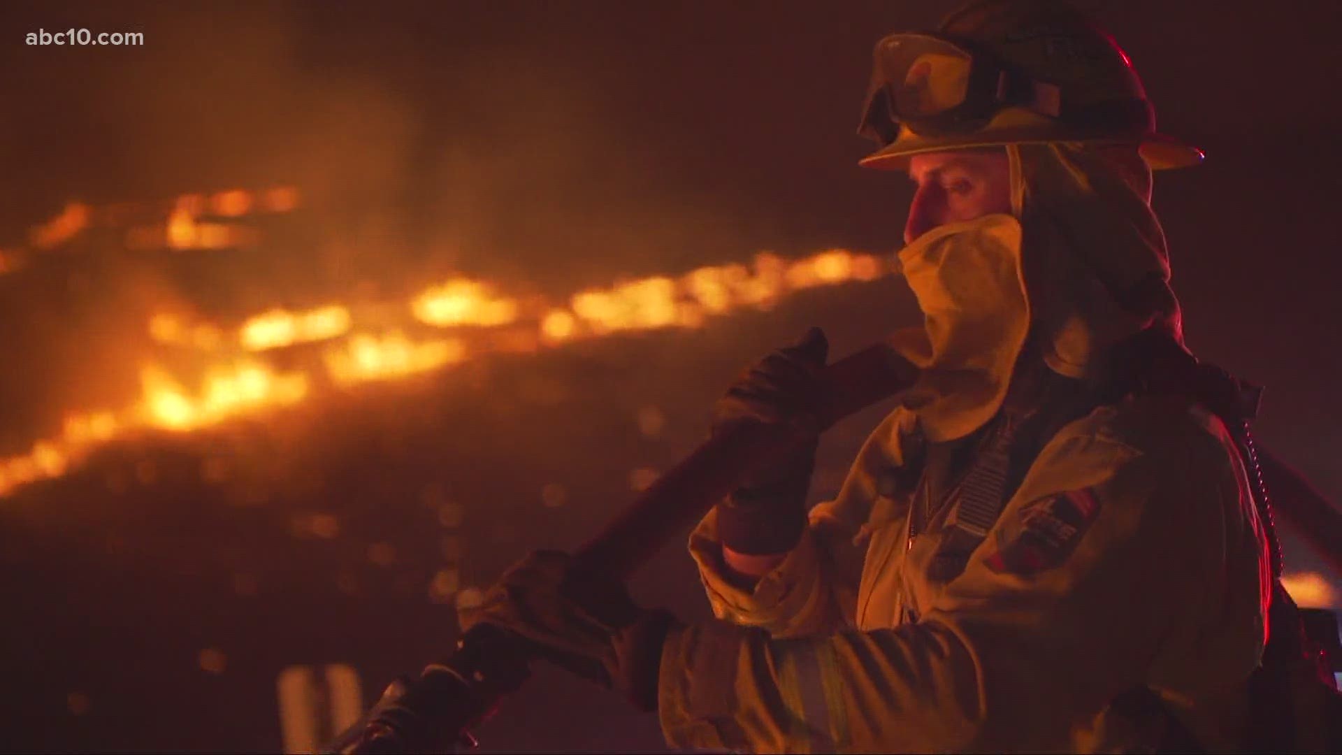
MENDOCINO COUNTY, Calif. — The August Complex Fire has reached 809,135 aces and is 30% contained.
This complex incident was initially 37 different fires in Mendocino National Forest, which started on Aug. 17, during dry lightning storms. Though many of those original fires have been contained, others have merged. The Hull, Doe, Tatham, and Glade fires have merged to form one large wildfire in five counties: Glenn County, Mendocino County, Lake County, Tehama County and Trinity County.
Despite the fire's size, the destruction to structures has been minimal. Although still tragic, only around 30 structures have been destroyed, with four more just damaged. One person has been killed.
Click HERE for the latest evacuation information from the Tehama County Office of Emergency Services.
Updated August Fire map from Mendocino National Forest on fire perimeter:
National Interagency Fire Center live map (it might take a few seconds for the fires to show up on the map):
WILDFIRE PREPS
According to Cal Fire, in 2019, California wildfires burned just under 260,000 acres from 7,860 incidents. Over 700 structures were damaged or destroyed and three people were killed. This follower two years of some of the “deadliest and most destructive wildfires” in California history.
If you live in a wildfire-prone zone, Cal Fire suggests creating a defensible space around your home. Defensible space is an area around a building in which vegetation and other debris are completely cleared. At least 100 feet is recommended.
The Department of Homeland Security suggests assembling an emergency kit that has important documents, N95 respirator masks, supplies to grab with you if you’re forced to leave at a moment’s notice. The agency also suggests signing up for local warning system notifications and know your community’s evacuation plans to best prepare yourself and your family in cases of wildfires.