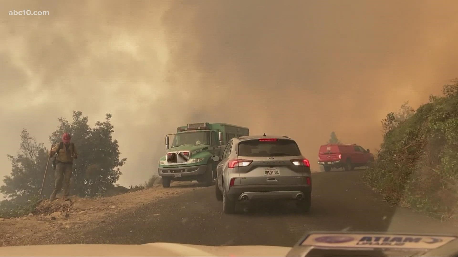
GRASS VALLEY, Calif. — Many Grass Valley residents can return home after they were forced to evacuate due to the Bennett Fire, according to the Nevada County Office of Emergency Service's Facebook post.
However, the eastern side of the zone GRS-E222 is still under mandatory evacuation orders. Zone GRS-E222B's evacuation order remains in effect as well.
The border is also closed to Idaho-Maryland Road and Centennial Drive.
More information regarding the evacuation zones can be found HERE.
Larry Huntington, the Bennett Industrial Park caretaker, says he and his dog were the first ones to come face to face with the Bennett Fire burning just half a mile east of downtown Grass Valley.
Huntington happened to have a 1,000-gallon water truck, which he jumped into action to protect RV rigs on the property. Firefighters allowed him to stay and help.
"It was a fire like the size of a regular SUV car and it erupted into a wall of fire in about maybe 10 seconds," Huntington said.
The incident commander for the Bennett Fire told ABC10 air resources were called off. He says Grass Valley was lucky that both aircraft were close by and the winds were cooperative for firefighters.
Jim Mathias, Cal Fire division chief said getting the upper hand on the Bennett Fire was a high priority even as resources are stretched across elsewhere battling megafires in northern California.
“In our world, when we get a new fire, we try to send as many resources as we can to get that fire get on it so that fire doesn’t turn into a much larger fire,” Mathias said.
The Bennett Fire has burned 59 acres and is 60% contained. It is currently burning near East Bennett Road and Lava Rock Avenue.
The flames did destroy some cars just south of Whispering Pines Lane and forced evacuation orders on more than 7,000 people, plus shelter in place orders for the local hospital and convalescent homes by the Nevada County Office of Emergency Services.
Below is a Snapchat video of firefighters attempting to put out the Bennett Fire.
The Bennett Fire forced the Sierra College Nevada County Campus to close. The Rocklin campus is not impacted by the flames.
Wildfire map
Click here for a map of the Caldor Fire.
Evacuation Map
►Stay in the know! Sign up now for the Daily Blend Newsletter
What questions do you have about the latest wildfires? If you're impacted by the wildfires, what would you like to know? Text the ABC10 team at (916) 321-3310.
Wildfire Preps
If you live in a wildfire-prone zone, Cal Fire suggests creating a defensible space around your home. Defensible space is an area around a building in which vegetation and other debris are completely cleared. At least 100 feet is recommended.
The Department of Homeland Security suggests assembling an emergency kit that has important documents, N95 respirator masks, supplies to grab with you if you’re forced to leave at a moment’s notice. The agency also suggests signing up for local warning system notifications and know your community’s evacuation plans best to prepare yourself and your family in cases of wildfires.
Some counties use Nixle alerts to update residents on severe weather, wildfires, and other news. To sign up, visit www.nixle.com or text your zip code to 888777 to start receiving alerts.
PG&E customers can also subscribe to alerts via text, email, or phone call. If you're a PG&E customer, visit the Profile & Alerts section of your account to register.


