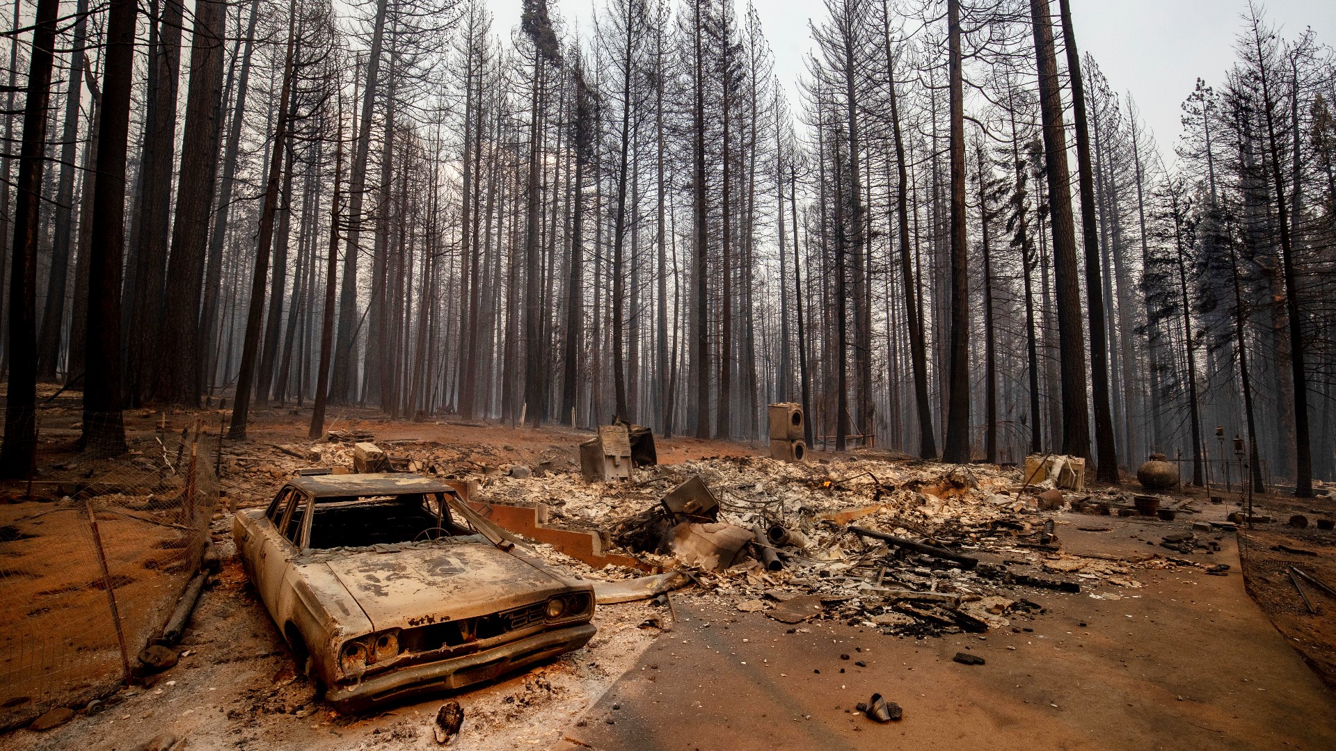
SACRAMENTO, Calif. — Erratic winds and low humidity created extreme fire behavior and explosive growth on the Caldor Fire in El Dorado County.
Neil Lareau, assistant professor in atmospheric science at the University of Nevada, Reno, researches fire generated weather, extreme fire behavior and plume dynamics.
He says the Caldor Fire was seeing somewhat of a perfect storm for explosive fire behavior. Overnight, the humidity never recovered and stayed low along with early morning strong winds. Critically dry fuels like grasses and trees were combusting rapidly and drove a column of warm air up into the atmosphere. By sunrise, the lid came off this fire, and a large fire cloud called a pyrocmulus formed.
Neil says heat from the fire creates these clouds. As the air rises, if it gets cold enough, it will condense and form the large towering cloud.
Winds can get very dangerous around these plumes. As the warm air rises, the surrounding air gets sucked in quickly and can produce winds 10-times stronger than just outside the fire. Some radar data showed winds at the Caldor Fire plume coming close to 60 miles per hour.
Along with those erratic winds, Neil says it looked like there were a few periods where it created rotation and likely strong fire whirls. These are the conditions firefighters talk about that are dangerous and make it it very difficult to stop growth.
Neil adds with fuel dryness a month ahead of schedule, the window of opportunity is lengthening for extreme fire behavior. We already know the fire seasons are getting longer, but now we're seeing more days of extreme fire weather developing like pyrocumulus clouds, fire-generated thunderstorms and fire-generated tornadoes.
Caldor Fire Map
A map showing the size and acreage of the Caldor Fire is available below.
What questions do you have about the latest wildfires? If you're impacted by the wildfires, what would you like to know? Text the ABC10 team at (916) 321-3310.
WATCH ALSO:


