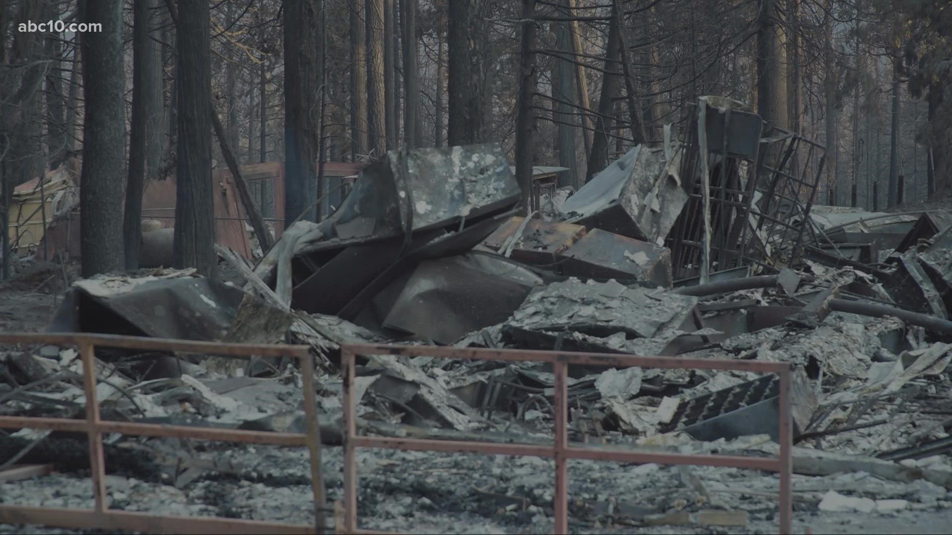
POLLOCK PINES, Calif. — The head of the California Office of Emergency services said Monday say the Caldor Fire southwest of Lake Tahoe is now the nation's number one priority for firefighting resources and efforts are focused on keeping it out of the Tahoe basin.
The Caldor Fire is less than 20 miles (32 kilometers) east of the lake that straddles the California-Nevada state line.
The fire has grown to 122,980 acres and is only 11% contained. The cause of the fire is still unknown.
Cal Fire reported during a Tuesday community meeting that Grizzly Flats residents still can't return to their homes and that Kyburz is still in danger as the Caldor Fire burns on both sides of Highway 50.
As the Caldor Fire enters its 10th night, Jesse Wagster is among tens of thousands waiting anxiously to get home; he and his dog, Jake, have been living out of his Cadillac. He says he is thankful for Red Cross and community volunteers.
There is currently no fire threat to Highway 88 after a fire buffer was created.
In Tuesday's Cal Fire report, spot fires continue to pop up.
"The up-canyon southwest winds decreased and moderate overnight humidity recovery allowed firefighters to engage in direct control tactics while advancing indirect line construction," Cal Fire's report says.
Highway 50 from Sly Park to Meyers remains closed to traffic.
A community meeting is scheduled for Tuesday evening, at 6 p.m. to provide updates on the fire.
Since the fire started burning on Saturday, Aug. 14, 455 homes have been destroyed while nearly 18,000 structures are still threatened. Two people have been injured and roughly 25,000 people are still under evacuation in both El Dorado County.
Evacuations and Road Closures
Click HERE for in-depth evacuation orders and warnings in El Dorado County. For evacuation orders and warnings in Amador County, click HERE for the Amador County Sheriff's Facebook page and HERE for their website. For current state highway/route information visit roads.dot.ca.gov.
Evacuation centers
- Green Valley Community Church3500 Missouri Flat Road, Placerville, CA
- Evelynn Bishop Hall 701 Hwy 124, Ione, CA
- Rolling Hills Church 800 White Rock Road, El Dorado Hills, CA
- Douglas County Community Center 1329 Waterloo Lane, Gardnerville, NV
Shelter Full -- Cameron Park CSD 2502 Country Club Drive, Cameron Park, CA
Temporary Evacuation Point -- Amador County Fairgrounds 18621 Sherwood Street, Plymouth, CA
Animal Evacuation Centers:
- El Dorado County Animal Services: Call (530)-621-5795 (Small animals)
- Large Animal Shelter Amador County Fairgrounds 18621 Sherwood St., Plymouth (530)621-5795 or (530)647-6227
- Saureel Vineyards (large animals) 1140 Cold Springs Road Placerville, CA (530) 621-5795
Accounts to follow
Evacuation Maps
A map of evacuations from the El Dorado County Sheriff's Office is available below.
Wildfire map
Click here for a map of the Caldor Fire.
Structure Damage Map
A map of structural damage from the El Dorado County Sheriff's Office is available below.
►Stay in the know! Sign up now for the Daily Blend Newsletter
What questions do you have about the latest wildfires? If you're impacted by the wildfires, what would you like to know? Text the ABC10 team at (916) 321-3310.
Wildfire Preps
If you live in a wildfire-prone zone, Cal Fire suggests creating a defensible space around your home. Defensible space is an area around a building in which vegetation and other debris are completely cleared. At least 100 feet is recommended.
The Department of Homeland Security suggests assembling an emergency kit that has important documents, N95 respirator masks, supplies to grab with you if you’re forced to leave at a moment’s notice. The agency also suggests signing up for local warning system notifications and know your community’s evacuation plans best to prepare yourself and your family in cases of wildfires.
Some counties use Nixle alerts to update residents on severe weather, wildfires, and other news. To sign up, visit www.nixle.com or text your zip code to 888777 to start receiving alerts.
PG&E customers can also subscribe to alerts via text, email, or phone call. If you're a PG&E customer, visit the Profile & Alerts section of your account to register.
Watch more from ABC10
Tips on handling smoke in the Sierra

