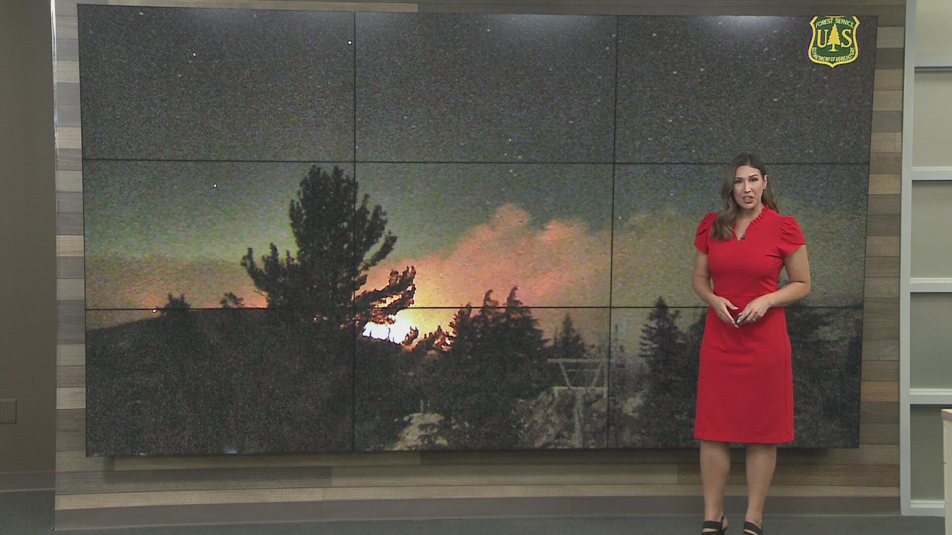
EL DORADO COUNTY, Calif. — It’s a race against the clock as more tolerable weather conditions remain for fire crews. Sunday brings in more heat, a layer of overnight inversions, and calmer winds. Downslope and up canyon winds pushed the fire forward still, but spot fires were short range Saturday and into Sunday morning.

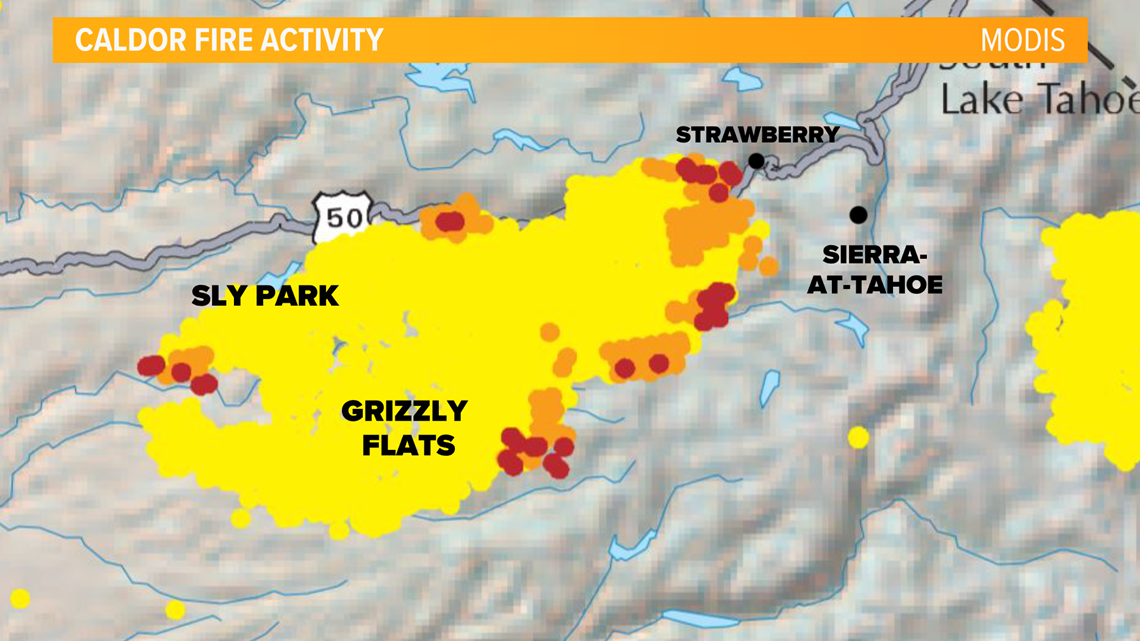
Saturday, the nearly 3,500 firefighters working on the Caldor Fire, attacked the leading edges of the fire through air retardant strikes, bulldozer lines, and hand crews. Still, the fire was hard to reach due to rugged terrain.
Back burns near Strawberry, have so far protected the city. More back burns, air strikes, and containment lines will be in the works for Sunday to try and prevent major spread Monday and Tuesday as winds are expected to pick up.
A Fire Weather Watch was upgraded to a Red Flag warning for 11 a.m. Monday until 11 p.m. Tuesday. Dry vegetation and very low humidity will aide in the critical fire danger.

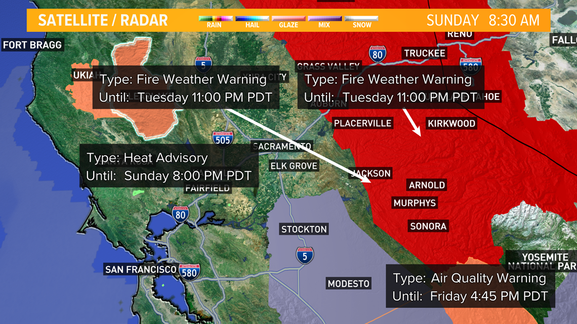
A trough in the Pacific Northwest will deepen bringing in a front Monday through Tuesday. Winds are expected to increase to 15 to 20 mph with gusts as high as 30 mph. Stronger winds will be expected over ridges and crests.

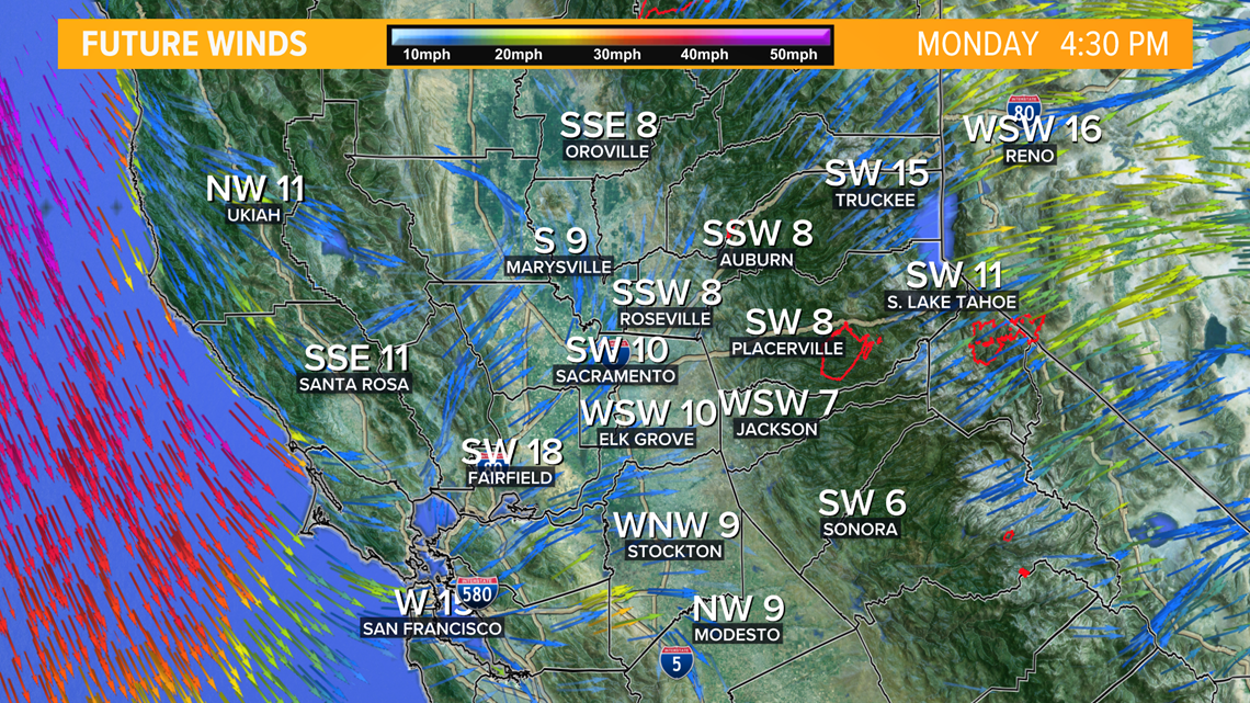
Fire danger will continue into Wednesday, except wind speeds will be slower.
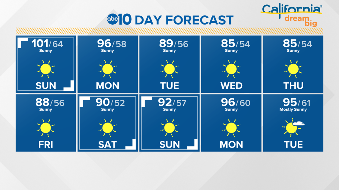
Temperatures will also be affected by the change in the weather pattern. Triple digits Sunday will turn to temperatures in the mid 90s Monday. The rest of the work week will be in the mid to upper 80s.

WATCH ALSO:

