10:45 p.m. update:
Eldorado National Forest officials said a two and a half mile perimeter they built on the south and southeast side of the Fork Fire is still holding.
The National Forest Service was able to use its aircraft to dump water from Loon Lake onto the fire.
11:30 a.m. update:
The Fork Fire has reached an estimated 2,500 acres with zero containment during the night, says Eldorado National Forest.
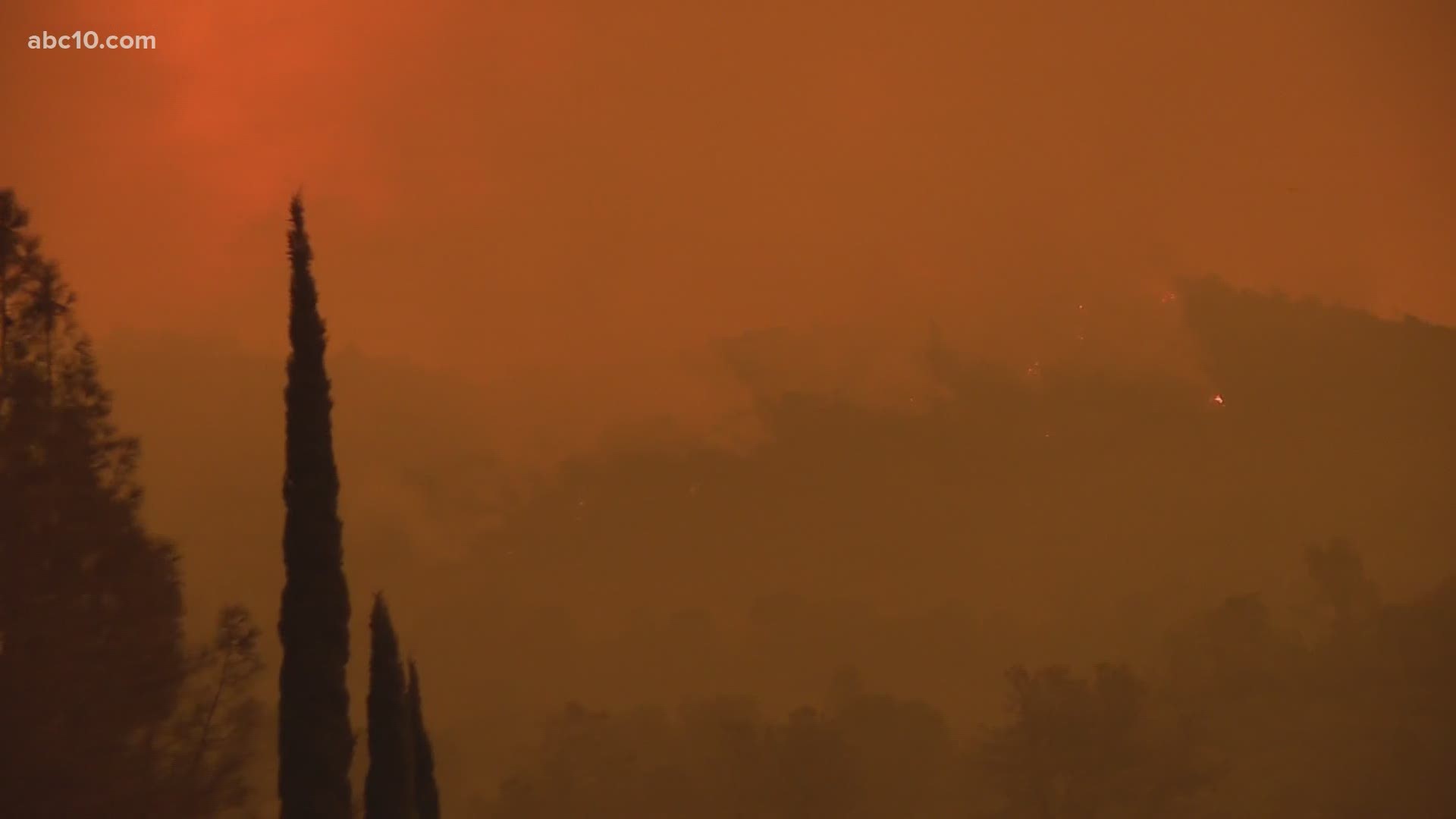
Overnight, the fire was active with moderate to rapid rates of spread. The blaze has also spotted into the Rubicon drainage, likely due to high winds.
The National Forest Service anticipates that the Fork Fire will spread into previously burned/scarred area where the King Fire ravaged over 97,000 acres in 2014.
Evacuation orders in Stumpy Meadows, Quintette, and Volcanoville remain in affect at this time.
Original story:
The Fork Fire in the Pacific Ranger District of Eldorado National Forest is now 500 acres with 0% containment and is in Crystal Basin/Gerle Creek area.
El Dorado County Sheriff's Office has issued a mandatory evacuation order for all residents and visitors in the areas of Stumpy Meadows, Quintette, and Volcanoville. Anyone in one of these areas must leave immediately and head toward Georgetown for their safety.
A temporary evacuation point has been set up at the Cool Community Church, 863 Cave Valley Road, in Cool, California.
A Red Flag warning remains in effect through noon, Sept. 9 for gusty winds, low humidity, and dry fuels. Firefighters are keeping a close eye on these conditions as they could cause further spread or spotting of smaller fires.
The Fork Fire began Tuesday, Sept. 8 and its cause is still under investigation.

