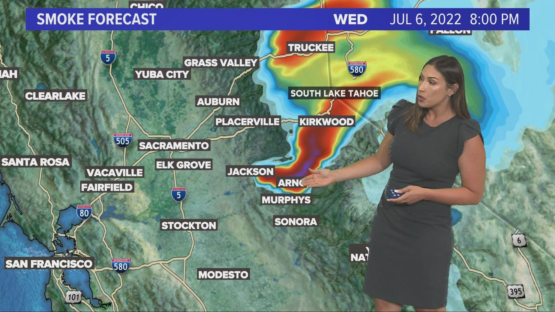
JACKSON, California — Find the latest updates on the Electra Fire HERE.
he Electra Fire was active for the first half of Tuesday night, but humidity early Wednesday morning helped moderate fire activity, according to Cal Fire.
"All residents along Clinton Road and Butte Mountain Road within this area are clear to return home. The evacuation order for this area has been reduced to a warning," deputies wrote in a statement Wednesday afternoon. "The warning zone running east from Jackson, along Hwy 88 to Previtali Road has been removed. All existing evacuation warnings and orders not mentioned above remain in effect."
Scroll down for a map of evacuation warnings in Amador County.
The Electra Fire in Sierra Nevada Gold Country broke out Monday afternoon and since tripled in size to about 6.42 square miles. It was 40% contained Wednesday night.
The fire was making short, uphill runs, fire officials said.
“The rate of spread isn’t what it was like yesterday, but it is still spreading,” said Amador County Sheriff Gary Redman. He said firefighters were working to keep flames confined to unpopulated canyon areas.
Mandatory evacuation orders and warnings combined affected up to 700 residents in Amador County and 300 to 400 people in Calaveras County, Redman said. Evacuation centers were set up for people and animals.
The fire started at a recreation area that was packed with people, forcing 85 to 100 celebrating the holiday at a river to take shelter at a Pacific Gas & Electric Co. facility, Redman said. All were later safely evacuated.
Redman said the cause of the fire was not known, but that it started in the Vox Beach area of the North Fork Mokelumne River. He said that could suggest fireworks or a barbecue as a potential cause.
About 200 fire engines, 1,300 firefighters and 7 helicopters were sent to the fire, which was a threat to power infrastructure, the California Department of Forestry and Fire Protection said. The terrain was described as steep and rugged.
Cal Fire activated an incident management team for the fire. The teams "are made up of trained personnel who provide operational management and support to large-scale, expanding incidents,” Cal Fire said.
One firefighter from the local fire protection district suffered burn injuries, Redman said.
Accounts to follow:
Evacuations
Amador County:
For a full list of evacuation orders and warnings in Amador County, click HERE.
Calaveras County:
- Evacuation warnings have been issued for the following Evacuation Zones: 327, 328, 329, 330, 341, 342, 343, 352, 353, 354.
Evacuation Center
Amador County
The Amador County Sheriff's Office said the Italian Picnic Grounds in Sutter Creek will be serving as a shelter. The Red Cross will be there to help people who need it. People who have been displaced that have recreational vehicles or trailers can stay at Lake Pardee, according to the sheriff's office.
Calaveras County
- The evacuation shelter is moving to the Calaveras County Mountain Oaks School in San Andreas
There are also pet-friendly evacuee campsites for people with tents, recreational vehicles, trailers or vehicles. There is no indoor space available at the campsites, according to the Calaveras County Office of Emergency Services.
- Calaveras County Fairgrounds: 2465 Gun club Road, Angels Camp (209) 736-2561
- Camanche South Shore Recreation Area: 11700 Wade Lane, Valley Springs (people are asked to bring proof of residence if available)
Gas Stations
Click HERE for a map of open gas stations in the area.
Fire Map
This wildfire map was created using data from NASA, NGA, USGS and FEMA.
Road Closures
Amador County
- Tabeaud Road southbound at Highway 88
- Mount Zion Road southbound at Highway 88
- Upper Clinton Road and Butte Mountain Road
- Clinton Road at West Clinton Road
- Electra Road at Highway 49
- Santa Lane and Highway 49
Calaveras County
- Highway 26, from Jesus Maria Road to Ridge Road
View the Waze map below for traffic updates.
WILDFIRE PREPS
According to Cal Fire, the 2021 fire season started earlier than previous years, but also ended earlier, as well. January 2021 saw just under 1,200 acres burned from nearly 300 wildfires. Fires picked up in the summer when the Dixie Fire burned in five Northern California counties — Butte, Plumas, Shasta, Lassen and Tehama. The Dixie Fire started on July 13 and wasn't contained until Oct. 25, burning nearly 1 million acres. It has since become the second-largest wildfire in state history and the largest non-complex fire.
Overall, 2.5 million acres were burned in 2021 from 8,835 wildfires. Over 3,600 structures were destroyed and 3 people were killed.
If you live in a wildfire-prone zone, Cal Fire suggests creating a defensible space around your home. Defensible space is an area around a building in which vegetation and other debris are completely cleared. At least 100 feet is recommended.
The Department of Homeland Security suggests assembling an emergency kit that has important documents, N95 respirator masks, and supplies to grab with you if you’re forced to leave at a moment’s notice. The agency also suggests signing up for local warning system notifications and knowing your community’s evacuation plans best to prepare yourself and your family in cases of wildfires.
Some counties use Nixle alerts to update residents on severe weather, wildfires, and other news. To sign up, visit www.nixle.com or text your zip code to 888777 to start receiving alerts.
PG&E customers can also subscribe to alerts via text, email, or phone call. If you're a PG&E customer, visit the Profile & Alerts section of your account to register.
What questions do you have about the latest wildfires? If you're impacted by the wildfires, what would you like to know? Text the ABC10 team at (916) 321-3310.

