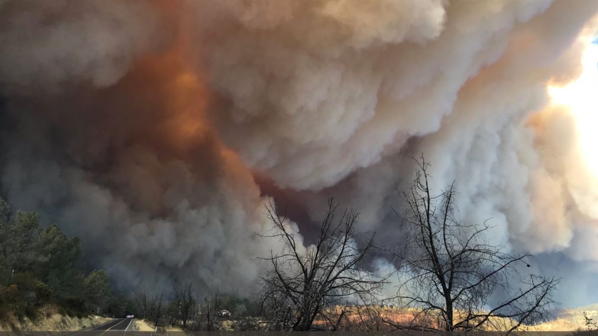
LAGUNA BEACH, Calif. — The Emerald Fire fanned by gusty Santa Ana winds has erupted in hills on the Southern California coast and is burning near homes.
The fire is burning above the gated Emerald Bay community near Laguna Beach, about 45 miles southeast of Los Angeles.
The fire broke out around 4 a.m. Thursday above the community of Emerald Bay near Laguna Beach.
Orange County Fire Authority Chief Brian Fennessy says flames skirted the community and firefighters hope to trap the 145-acre blaze against a ridge.
The chief says he's optimistic that firefighters have a good handle on the fire. Southern California is in the midst of a winter heatwave, stoked by dry, gusty offshore flow of air.
► GET THE LATEST NEWS: Get news updates in your email with the Daily Blend newsletter. Sign up at www.abc10.com/email
Road Closures
Highway 1 has been reopened.
Accounts to follow
Evacuations
Evacuation orders are in place for Emerald Bay north of Pacific Coast Highway, Irvine Cove area of Laguna Beach and the North Coast area of Laguna Beach. The Boat Canyon area of Laguna Beach is under an evacuation warning.
A map of evacuations for the Emerald Fire is available below.
Wildfire Map
A wildfire map tracking the acreage burned of the Emerald Fire is available below.
More Resources
Residents in Orange County can text the Public Information Hotline questions at (714) 628-7085.
There are two care and reception centers set up.
- Los Olivos Community Center at 101 Alfonso in Irvine
- Laguna Beach Community and Susi Q Center at 380 3rd St. in Laguna Beach
Watch the latest briefing from the Orange County Fire Authority.
Wildfire Prep
For anyone living in a wildfire-prone zone, Cal Fire suggests creating a defensible space around your home. Defensible space is an area around a building in which vegetation and other debris are completely cleared. At least 100 feet is recommended.
The Department of Homeland Security suggests assembling an emergency kit that has important documents, N95 respirator masks, supplies to grab with you if you’re forced to leave at a moment’s notice. The agency also suggests signing up for local warning system notifications and know your community’s evacuation plans best to prepare yourself and your family in cases of wildfires.
Some counties use Nixle alerts to update residents on severe weather, wildfires, and other news. To sign up, visit www.nixle.com or text your zip code to 888777 to start receiving alerts.
PG&E customers can also subscribe to alerts via text, email, or phone call. If you're a PG&E customer, visit the Profile & Alerts section of your account to register.
Watch More from ABC10: California's growing wildfire crisis | Scorched Earth


