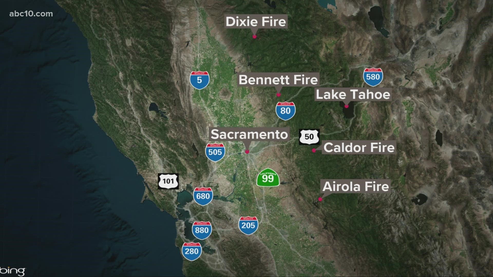
CALAVERAS COUNTY, Calif. — According to the Cal Fire Tuolumne-Calaveras Unit, the Airola Fire ignited near Parrotts Ferry Road, North of Parrotts Ferry Bridge.
The Airola Fire has burned 700 acres and is 25% contained.
As of 8:00 p.m., all evacuation orders issued for the Airola Fire will be downgraded to an evacuation warning. All other evacuation warnings will remain in place.
Parrotts Ferry Rd. from Highway 4 to the South County line will re-open at as well at 8:00 p.m.
A map detailing evacuation warning locations is available below and by clicking HERE. In response to community inquiries about evacuations and evacuation warnings, the sheriff's office said people can get alerts through the Calaveras Alert system. More information on that system can be found HERE.
Accounts to follow
Wildfire map
Click here to view a map of the Airola Fire.
Evacuation Map
A map from the Calaveras County Office of Emergency Services is available below (Use bottom arrow keys to navigate to the evacuation map)
►Stay in the know! Sign up now for the Daily Blend Newsletter
What questions do you have about the latest wildfires? If you're impacted by the wildfires, what would you like to know? Text the ABC10 team at (916) 321-3310.
Wildfire Preps
If you live in a wildfire-prone zone, Cal Fire suggests creating a defensible space around your home. Defensible space is an area around a building in which vegetation and other debris are completely cleared. At least 100 feet is recommended.
The Department of Homeland Security suggests assembling an emergency kit that has important documents, N95 respirator masks, supplies to grab with you if you’re forced to leave at a moment’s notice. The agency also suggests signing up for local warning system notifications and know your community’s evacuation plans best to prepare yourself and your family in cases of wildfires.
Watch more from ABC10: Verify | Are Plumas County residents who had to evacuate due to Dixie Fire eligible for FEMA aid?

