9:04 p.m. Update:
Cal Fire officials confirmed in a tweet the Jones Fire is now 705 acres and is 5% contained.
Officials said the percentage change is due to the fire spreading overnight and better mapping.
The Sacramento Police Department sent six officers to assist with the Jones Fire.
8:51 p.m. Update:
Nevada County OES tweeted that some mandatory evacuation orders have been downgraded to evacuation warnings for areas south of the Jones Fire.
To see if your area's evacuation orders were downgraded, click here.
7 p.m. Update:
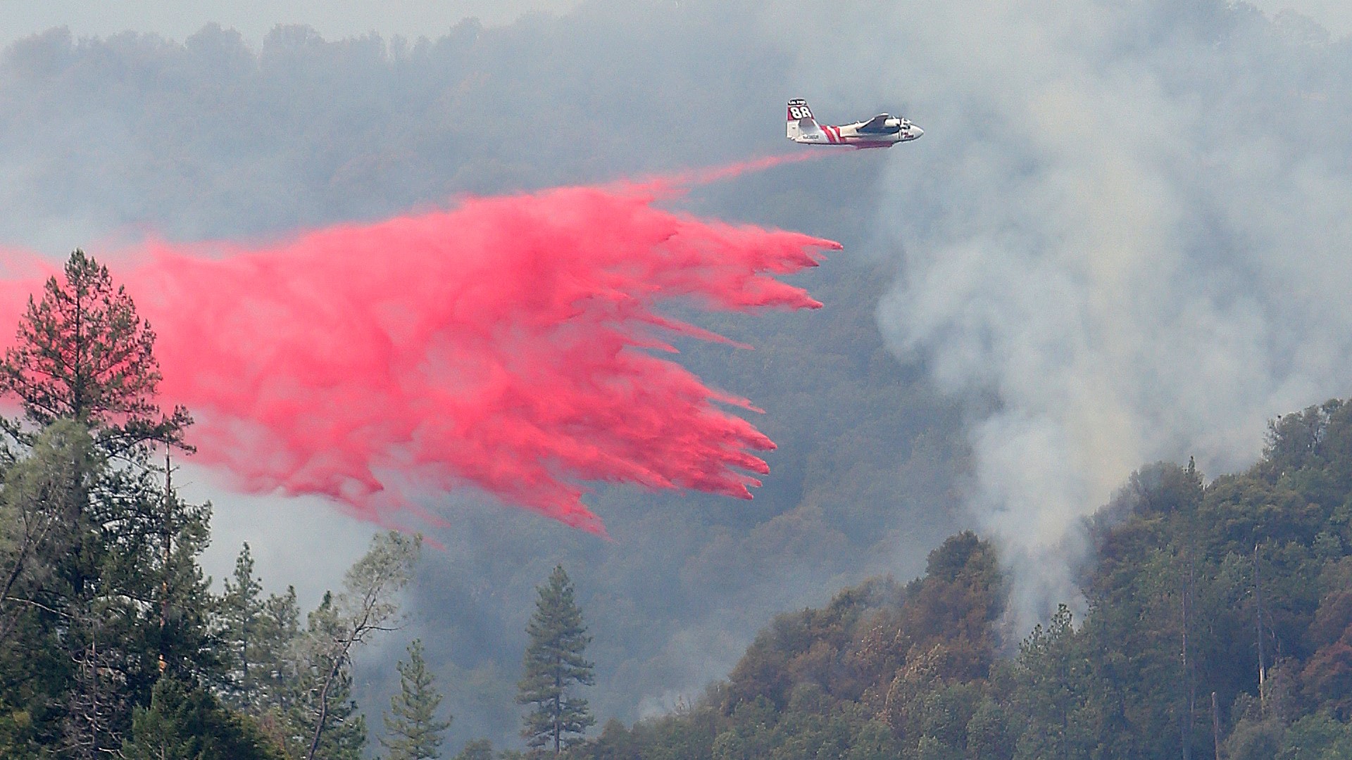
Day three of the Jones Fire and the skies are still filled with smoke, firefighters are on the ground and in the air trying to contain the fire. More than 4,000 people have had to evacuate with no word on when they can return home.
Holly Rose lives in Nevada City and was forced out of her home due to the Jones Fire. During the day she shelters at Ready Spring School and sleeps in her car at night without any way of getting a hot shower.
“You got soap water paper towels you can figure it out," Rose said.
Alone and uncertain about when she can return to her home, Rose says she feels safe at the evacuation center but worries for her family that’s he had to leave behind when officers told her it was unsafe to return to her home after leaving to get ice.
“My husband and my mother in law are still up there they had no way to get an evacuation notice with no power,” Rose said.
Jim Mathis, the Incident Commander for the Jones Fire, said it is crucial that the fire does not go east over Highway 49. If flames jump over the highway a PG&E line along with several homes will be in danger.
“A lot of smoke production and a lot of other problems that go along with that they may need to shut down that transmission line which obviously will affect a lot of communities,” Mathis said.
5:15 p.m. Update:
According to a tweet by Nevada County OES, the Jones Fire in Nevada County is now 705 acres and 5% contained.
INTERACTIVE MAP:
Get a better look at the fire zone and evacuation zones with Nevada County's interactive map at https://nevcounty.maps.arcgis.com/apps/MapSeries/index.html?appid=dfae8e3b36e3455bbf9dcc865349e72e
ORIGINAL STORY:
Overnight, the Nevada County Office of Emergency Services lifted two evacuation warnings for areas impacted by the Jones Fire.
The evacuation warnings for the areas south of Ridge Road and Rough and Ready Highway. Two evacuation orders are still in place.
The fire has so far destroyed four structures.
Cal Fire is reporting the Jones Fire is 675 acres and 5% contained. There was minimal growth overnight, only jumping 25 acres in size. However, containment was also low.
Evacuation centers are located at:
- Ready Springs School - 10862 Spenceville Rd, Penn Valley, Calif.
- Cottage Hill Elementary School - 22600 Kingston Lane, Grass Valley, Calif.
- Alder Creek Middle School - 10931 Alder Dr, Truckee, Calif.
School districts closed due to the Jones Fire include
- Grass Valley School District is closed
- Ready Springs and Williams Ranch in the Penn Valley School District are closed
- Nevada City School District is canceling school
Wildfire Sources
If you live in a wildfire-prone zone, Cal Fire suggests creating a defensible space around your home. Defensible space is an area around a building in which vegetation and other debris are completely cleared. At least 100 feet is recommended.
The Department of Homeland Security suggests assembling an emergency kit that has important documents, N95 respirator masks, supplies to grab with you if you’re forced to leave at a moment’s notice. The agency also suggests signing up for local warning system notifications and know your community’s evacuation plans to best prepare yourself and your family in cases of wildfires.
Here's a map of Northern California, with a detailed display of the state's wildfires.

