
HIGHLAND, Calif. — Click here for the latest updates on the Line Fire.
The Line Fire is forcing evacuations in San Bernardino County Wednesday as crews work to control the blaze.
The San Bernardino County Sheriff's Office said a Norco man was arrested on suspicion of starting the Line Fire. Justin Wayne Halstenberg was booked into the Central Detention Center on an arson charge. He was held in lieu of $80,000 bail.
Cal Fire said the wildfire burned about 34,729 acres as of Wednesday and is 14% contained. The fire started amid an intense heatwave in Southern California.
The fire started Sept. 5 around 6:30 p.m. near Baseline Road and Aplin Street in Highland, CA.
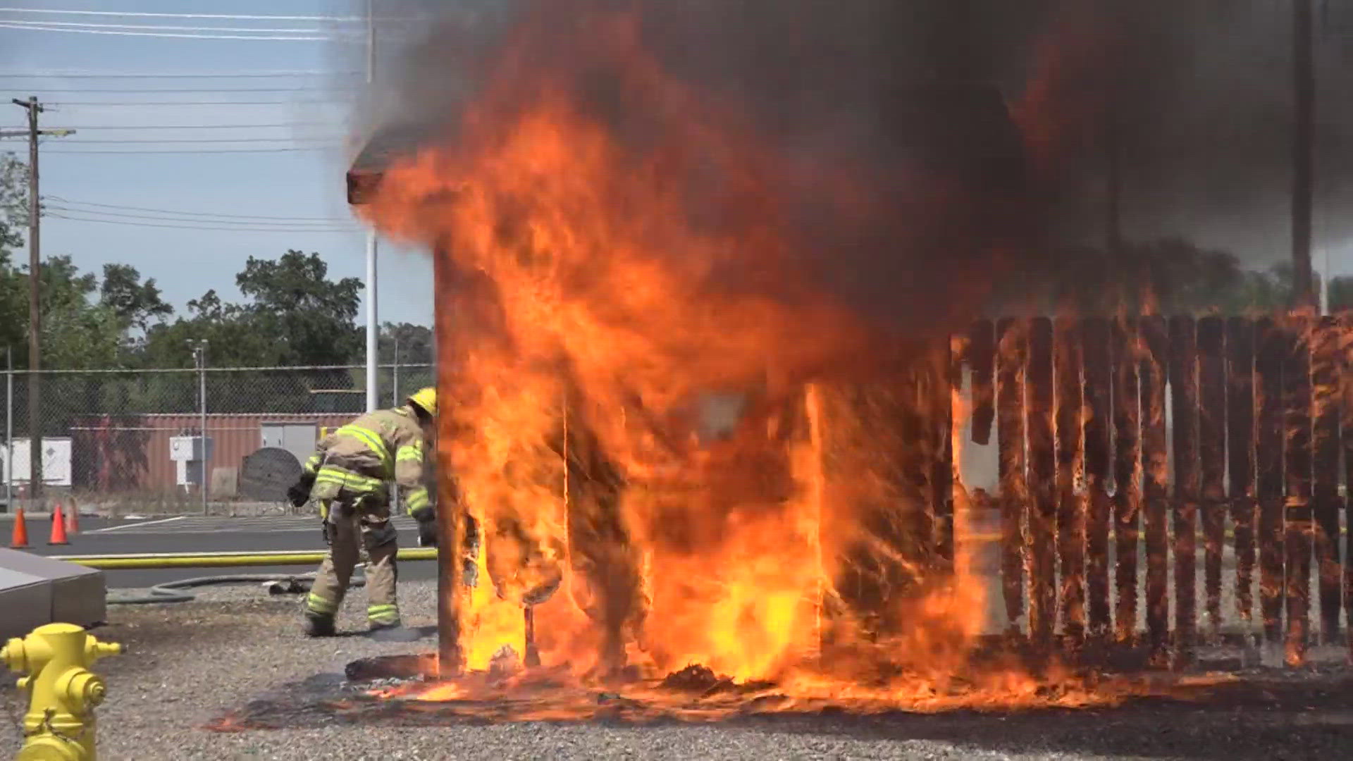
Evacuation orders were expanded Tuesday night as the fires grew and included parts of the popular ski town Big Bear. Some 65,600 homes and buildings were under threat by the Line Fire, including those under mandatory evacuations and those under evacuation warnings, nearly double the number from the previous day. Three firefighters were injured in connection with the blaze, authorities said.
Residents along the southern edge of Big Bear Lake were told to leave the area, which is a popular destination for anglers, bikers and hikers. As of late Tuesday, the blaze had charred more than 54 square miles of grass and brush, according to Cal Fire. It blanketed the area with a thick cloud of dark smoke.
The fire impacted key radio towers, including communication channels for those responding to the fire. The cooler weather could temper fire activity toward the end of the week, Cal Fire said in an update. Public safety power shutoffs were anticipated in parts of the Big Bear and Bear Valley areas and acrid air and safety concerns prompted several area districts to close schools through the end of the week.
California is only now heading into the teeth of the wildfire season but already has seen nearly three times as much acreage burn than during all of 2023.
Links to Follow:
Evacuation Map
Find information on evacuation shelters and road closures HERE.
An evacuation map for San Bernardino County is available below.
Fire Map
This map from the National Interagency Fire Center shows fire activity (this may take a few seconds to load):
Wildfire Preps
If you live in a wildfire-prone zone, Cal Fire suggests creating a defensible space around your home. Defensible space is an area around a building in which vegetation and other debris are completely cleared. At least 100 feet is recommended.
The Department of Homeland Security suggests assembling an emergency kit that has important documents, N95 respirator masks, and supplies to grab with you if you’re forced to leave at a moment’s notice. The agency also suggests signing up for lvocal warning system notifications and knowing your community’s evacuation plans best to prepare yourself and your family in cases of wildfires.
Some counties use Nixle alerts to update residents on severe weather, wildfires, and other news. To sign up, visit www.nixle.com or text your zip code to 888777 to start receiving alerts.
PG&E customers can also subscribe to alerts via text, email, or phone call. If you're a PG&E customer, visit the Profile & Alerts section of your account to register.
What questions do you have about the latest wildfires? If you're impacted by the wildfires, what would you like to know? Text the ABC10 team at (916) 321-3310.
For more ABC10 news and weather coverage on your time, stream ABC10+ on your TV for free:
► Roku - click here
► Amazon Fire - click here
► Apple TV - click here
WATCH ALSO:


