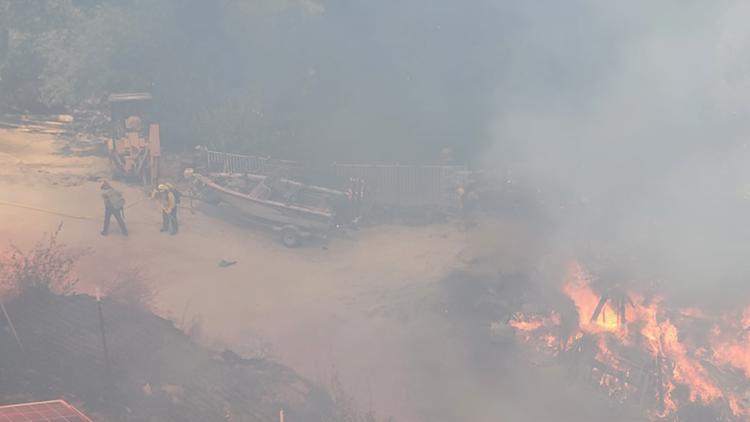
EL DORADO COUNTY, Calif. — Firefighters are battling the so-called Moccasin Fire in El Dorado County Tuesday afternoon.
According to Cal Fire, the blaze sparked along the 1500 block of Moccasin Trail. The El Dorado County Fire Protection District said the blaze was burning on the south end of Oak Hill Road off of Moccasin Trail in unincorporated Placerville, specifically the Oak Hill area. It's burned about 51 acres so far at a moderate rate of speed and involved one home, officials said. The fire is 15% contained.
Evacuations orders are in place in the area due to the fire as well as evacuation warnings. More information on evacuations can be found below.
El Dorado County Fire said good progress has been made on the fire so far, causing it to slow considerably.
Evacuations
A map of evacuations can be viewed below.
The El Dorado County Sheriff's Office said there were mandatory evacuations for neighborhoods around Moccasin Trail, Los Cerros, Rocky Ridge, Nashville Trail, Metate Trail in the Oak Hill community.
Evacuation Warnings were issued for all roads north to Pleasant Valley Rd.
A temporary emergency shelter was set up at El Dorado County Library on Fair Lane in Placerville. A large animal evacuation shelter was set up at Saureel Vinyards at 1140 Cold Springs Road.
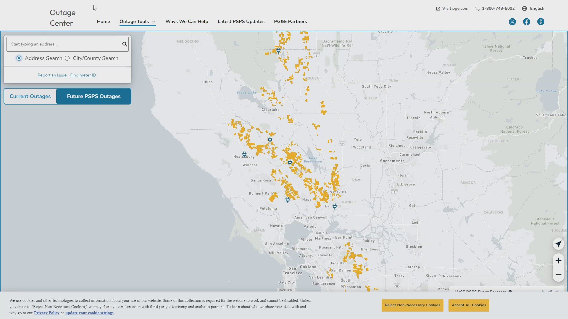
Fire Map
This map from the National Interagency Fire Center shows fire activity (this may take a few seconds to load):
WILDFIRE PREPS
If you live in a wildfire-prone zone, Cal Fire suggests creating a defensible space around your home. Defensible space is an area around a building in which vegetation and other debris are completely cleared. At least 100 feet is recommended.
The Department of Homeland Security suggests assembling an emergency kit that has important documents, N95 respirator masks, and supplies to grab with you if you’re forced to leave at a moment’s notice. The agency also suggests signing up for local warning system notifications and knowing your community’s evacuation plans best to prepare yourself and your family in cases of wildfires.
Some counties use Nixle alerts to update residents on severe weather, wildfires, and other news. To sign up, visit www.nixle.com or text your zip code to 888777 to start receiving alerts.
PG&E customers can also subscribe to alerts via text, email, or phone call. If you're a PG&E customer, visit the Profile & Alerts section of your account to register.
What questions do you have about the latest wildfires? If you're impacted by the wildfires, what would you like to know? Text the ABC10 team at (916) 321-3310.
WATCH MORE: 100-degree heat is on the way. Here's the forecast