TEHAMA COUNTY, Calif. — Click here for the latest updates on the Park Fire.
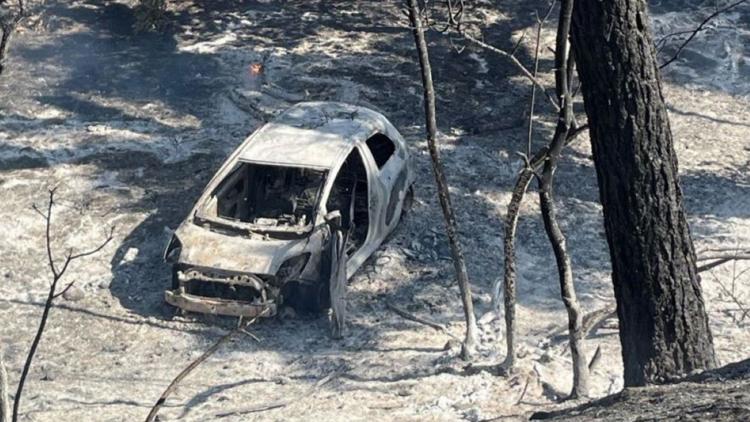
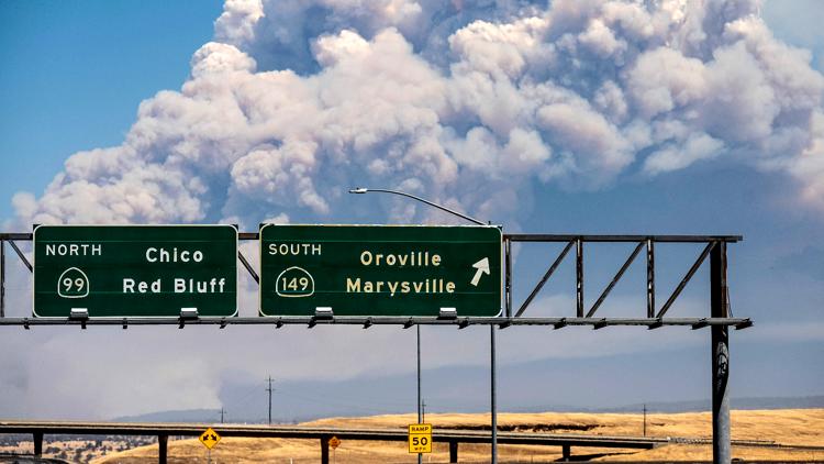
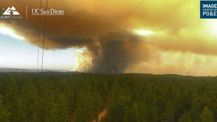
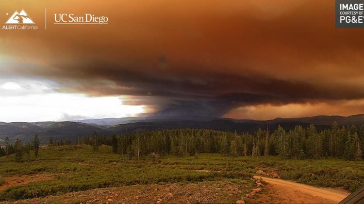
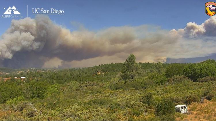
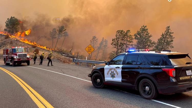
The Park Fire burning in Butte and Tehama counties has rapidly grown to more than 392,480 acres Thursday as firefighters work to contain the blaze.
The wildfire is 18% contained. It has burned more in Tehama County, at about 338,201 acres compared to Butte County, which is at about 52,999 acres. The fire also impacts Plumas and Shasta counties.
Weather is expected to become warmer and drier later this week, and Cal Fire said people should be cautious with some winds and thunderstorm potential. Cal Fire said the critical weather period continues Friday through Monday. While storms aren't expected to develop over the fire perimeter, some storms could drift from the southeast over the fire area Friday night into Saturday morning.
The Park Fire has burned about 260 miles, more than three times the surface area of Lake Tahoe, according to Cal Fire.
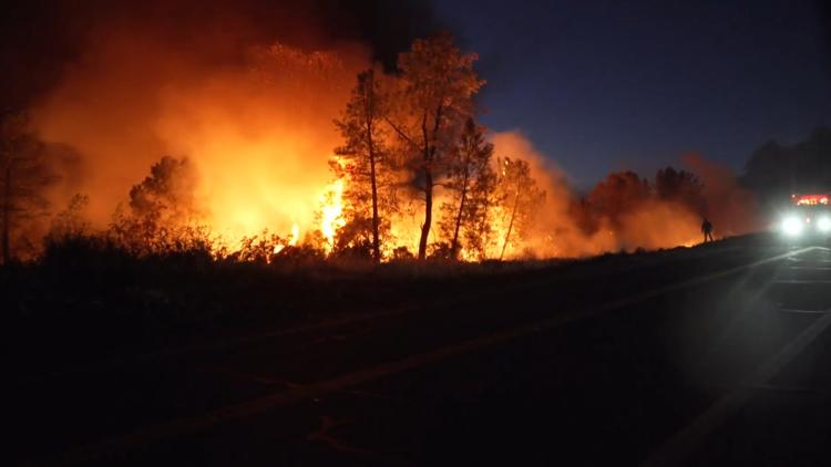
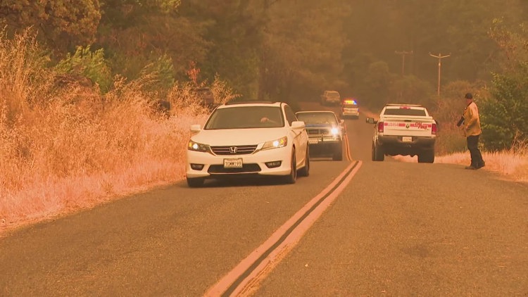
Evacuations are in effect in Butte, Plumas, Shasta, and Tehama counties. Some evacuation orders in Butte County have been downgraded to warnings. A map of the latest evacuations can be found below.
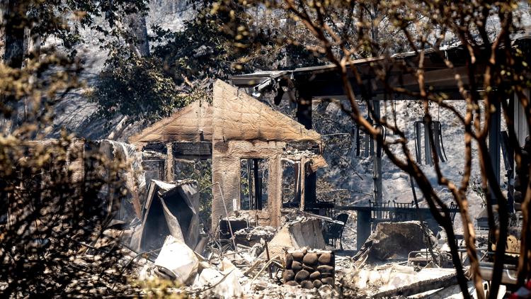
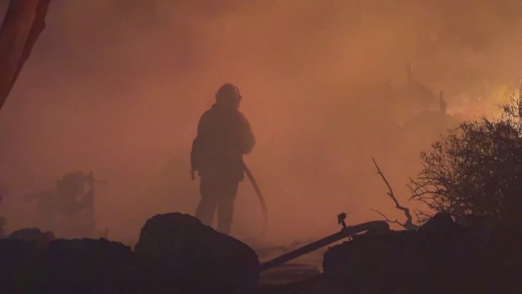
According to Cal Fire, 437 structures have been destroyed and another 42 have been damaged due to the fire across Butte and Tehama counties. For Butte County, this equates to 310 destroyed structures.
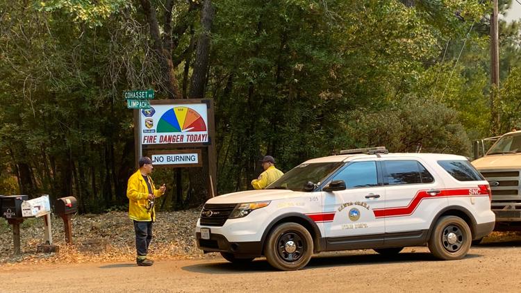
People in Butte County can sign up for emergency alerts HERE. People in Tehama County can sign up for emergency alerts HERE. Cal Fire activated an information hotline. Local residents can dial 211 and people from outside of Butte County can dial 1-866-916-3566.
For more ABC10 news and weather coverage on your time, stream ABC10+ on your TV for free:
► Roku - click here
► Amazon Fire - click here
► Apple TV - click here
Stay Informed
Evacuations
Evacuation orders and warnings are in place in Butte, Tehama and Shasta counties. Warnings have been issued for parts of Plumas County.
There's an evacuation center at Neighborhood Church located at 2801 Notre Dame Blvd. in Chico. An evacuation shelter for small animals is at 2279 Del Oro Avenue in Oroville and for large animals is at Camelot Equestrian Park 1985 Clark Road in Oroville.
A map of evacuations in Butte County can be viewed below:
Shasta County Evacuations:
Parts of southern Shasta County around Highway 44 are under evacuation orders or warnings. See their map HERE for details.
Plumas County Evacuations:
A portion of western Plumas County southwest of Lake Almanor is under an evacuation warning as of Thursday. See the latest zones with the county's map HERE.
Tehama County Evacuations:
A map of evacuations in Tehama, Plumas and Shasta counties can be viewed below. In Tehama County, the Red Cross evacuation shelter is located at Los Molinos Vets Hall 7980 Sherwood Boulevard.
An evacuation shelter for small animals is at 22005 Gilmore Ranch Road in Red Bluff and for large animals at 19725 Ridge Road in Red Bluff and 103 E Fig Lane Corning. The large animal shelters are self-service and people must provide their own setup and feed,
Scroll down, click "view full screen" and view the map:
Fire Map
This map from the National Interagency Fire Center shows fire activity (this may take a few seconds to load):
Wildfire Preps
If you live in a wildfire-prone zone, Cal Fire suggests creating a defensible space around your home. Defensible space is an area around a building in which vegetation and other debris are completely cleared. At least 100 feet is recommended.
The Department of Homeland Security suggests assembling an emergency kit that has important documents, N95 respirator masks, and supplies to grab with you if you’re forced to leave at a moment’s notice. The agency also suggests signing up for local warning system notifications and knowing your community’s evacuation plans best to prepare yourself and your family in cases of wildfires.
Some counties use Nixle alerts to update residents on severe weather, wildfires, and other news. To sign up, visit www.nixle.com or text your zip code to 888777 to start receiving alerts.
PG&E customers can also subscribe to alerts via text, email, or phone call. If you're a PG&E customer, visit the Profile & Alerts section of your account to register.
What questions do you have about the latest wildfires? If you're impacted by the wildfires, what would you like to know? Text the ABC10 team at (916) 321-3310.
For more ABC10 news and weather coverage on your time, stream ABC10+ on your TV for free:
► Roku - click here
► Amazon Fire - click here
► Apple TV - click here