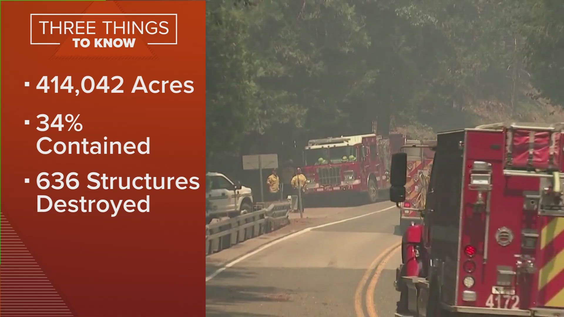
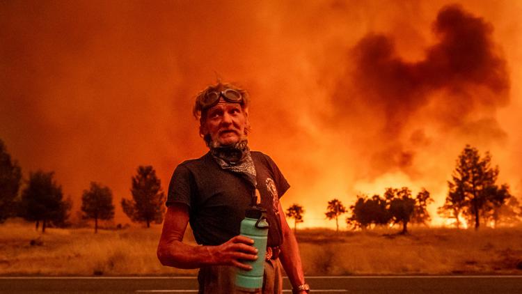
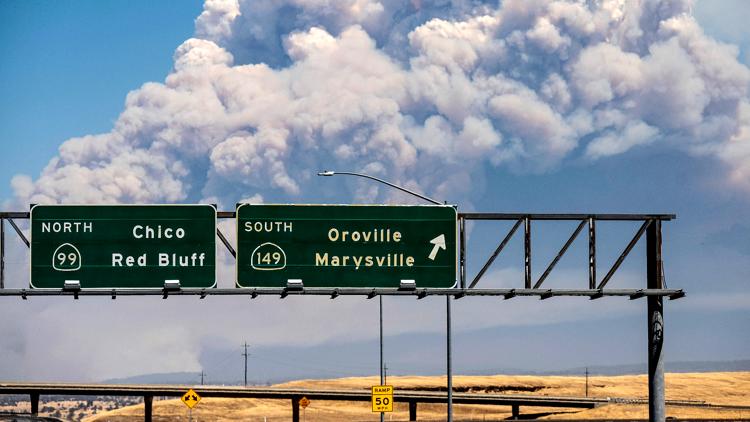
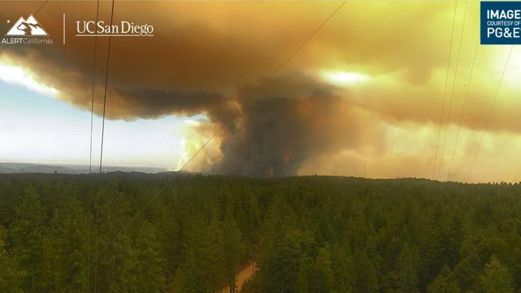
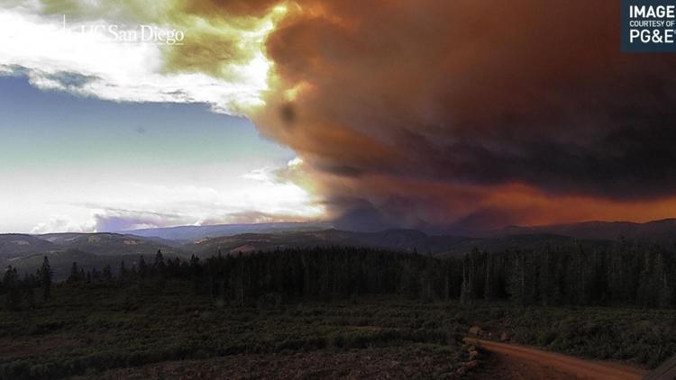
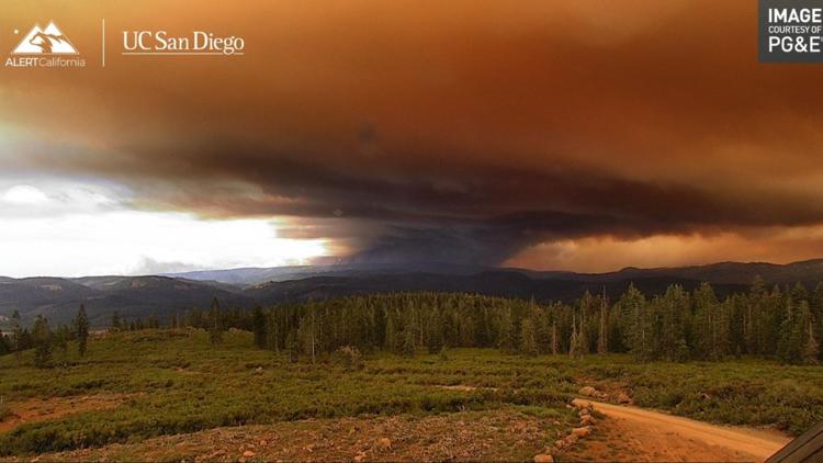
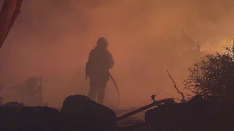
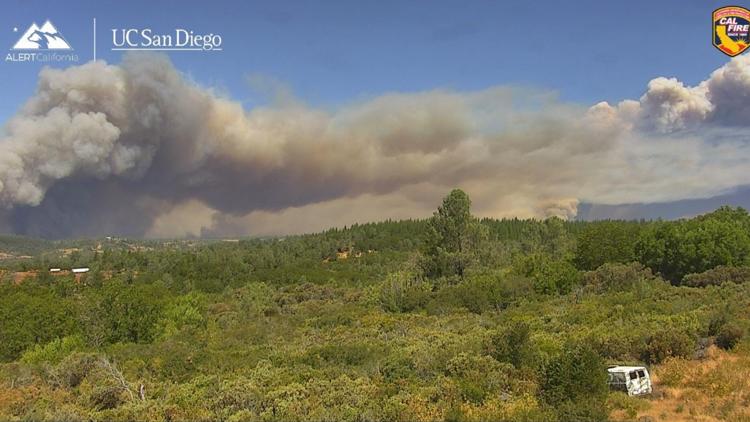
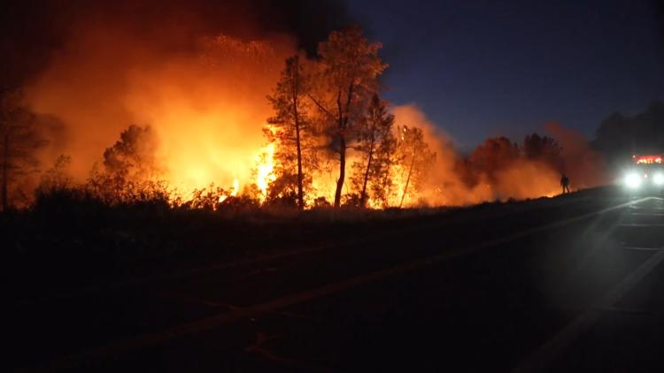
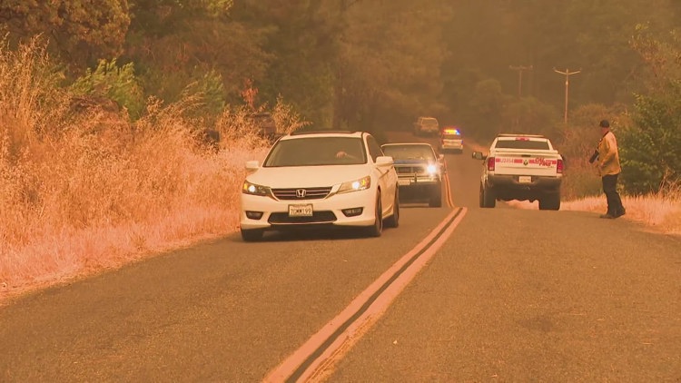
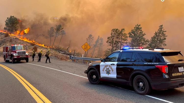
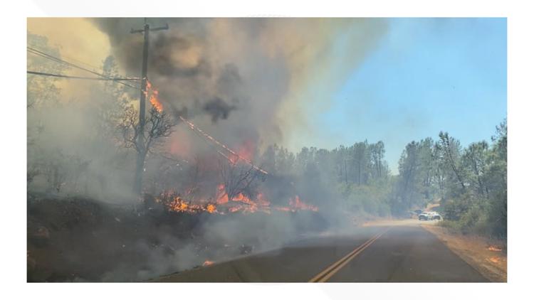
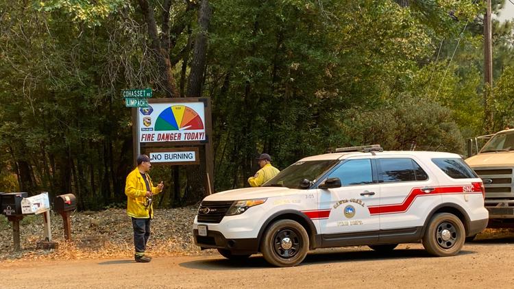
BUTTE COUNTY, Calif. — The Park Fire is now California's fourth-largest wildfire in history, burning more than 414,042 acres as of Tuesday.
The wildfire impacting Butte, Plumas, Shasta and Tehama counties is about 34% contained.
In Tehama County, a zone west of the intersection of Highway 32 and Highway 36 was upgraded to an evacuation order. Some evacuations are in effect in Butte, Plumas and Shasta counties. Some evacuations in Butte and Tehama County have been lifted. A map of the latest evacuations can be found below.
High temperatures are expected to continue this week and by the weekend, Cal Fire said there may be a slight cooling trend and increase in humidity.
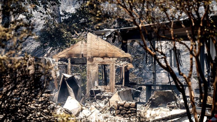
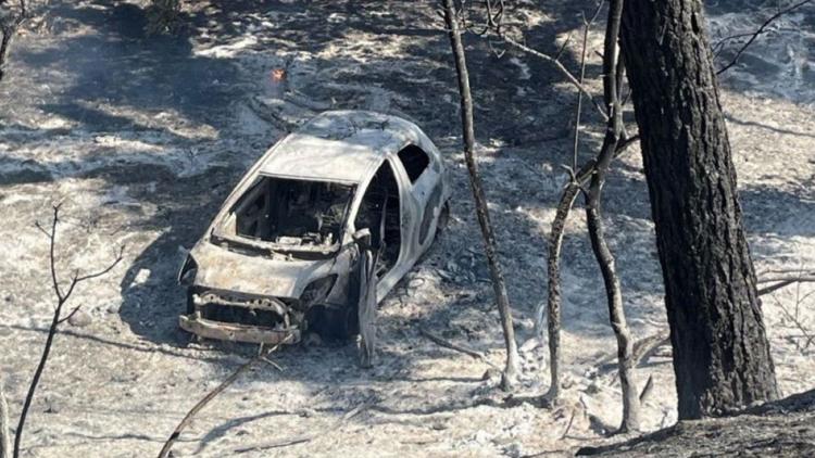
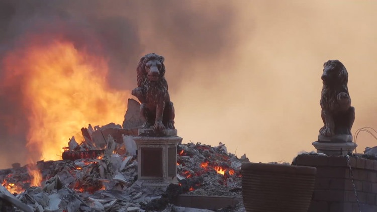
According to Cal Fire, 640 structures have been destroyed and another 52 have been damaged due to the fire across Butte and Tehama counties. For Butte County, this equates to 428 destroyed structures.
The Park Fire surpassed the SCU Lightning Complex Fire from August 2020, which burned 396,625 acres and impacted Stanislaus, Santa Clara, Alameda, Contra Costa, and San Joaquin counties.
People in Butte County can sign up for emergency alerts HERE. People in Tehama County can sign up for emergency alerts HERE. Cal Fire activated an information hotline. Local residents can dial 211 and people from outside of Butte County can dial 1-866-916-3566.
For more ABC10 news and weather coverage on your time, stream ABC10+ on your TV for free:
► Roku - click here
► Amazon Fire - click here
► Apple TV - click here
Stay Informed
Evacuations
Evacuation orders and warnings are in place in Butte and Tehama counties. Evacuation warnings have been issued for parts of Shasta and for one zone in Plumas County.
A map of evacuations in Butte County can be viewed below:
Shasta County Evacuations:
Parts of southern Shasta County around Highway 44 are under evacuation warnings. See their map HERE for details.
Plumas County Evacuations:
A small portion of western Plumas County is under an evacuation warning as of Tuesday. See the latest zones with the county's map HERE.
Tehama County Evacuations:
A map of evacuations in Tehama, Plumas and Shasta counties can be viewed below.
Scroll down, click "view full screen" and view the map:
Fire Map
This map from the National Interagency Fire Center shows fire activity (this may take a few seconds to load):
Wildfire Preps
If you live in a wildfire-prone zone, Cal Fire suggests creating a defensible space around your home. Defensible space is an area around a building in which vegetation and other debris are completely cleared. At least 100 feet is recommended.
The Department of Homeland Security suggests assembling an emergency kit that has important documents, N95 respirator masks, and supplies to grab with you if you’re forced to leave at a moment’s notice. The agency also suggests signing up for local warning system notifications and knowing your community’s evacuation plans best to prepare yourself and your family in cases of wildfires.
Some counties use Nixle alerts to update residents on severe weather, wildfires, and other news. To sign up, visit www.nixle.com or text your zip code to 888777 to start receiving alerts.
PG&E customers can also subscribe to alerts via text, email, or phone call. If you're a PG&E customer, visit the Profile & Alerts section of your account to register.
What questions do you have about the latest wildfires? If you're impacted by the wildfires, what would you like to know? Text the ABC10 team at (916) 321-3310.
For more ABC10 news and weather coverage on your time, stream ABC10+ on your TV for free:
► Roku - click here
► Amazon Fire - click here
► Apple TV - click here

