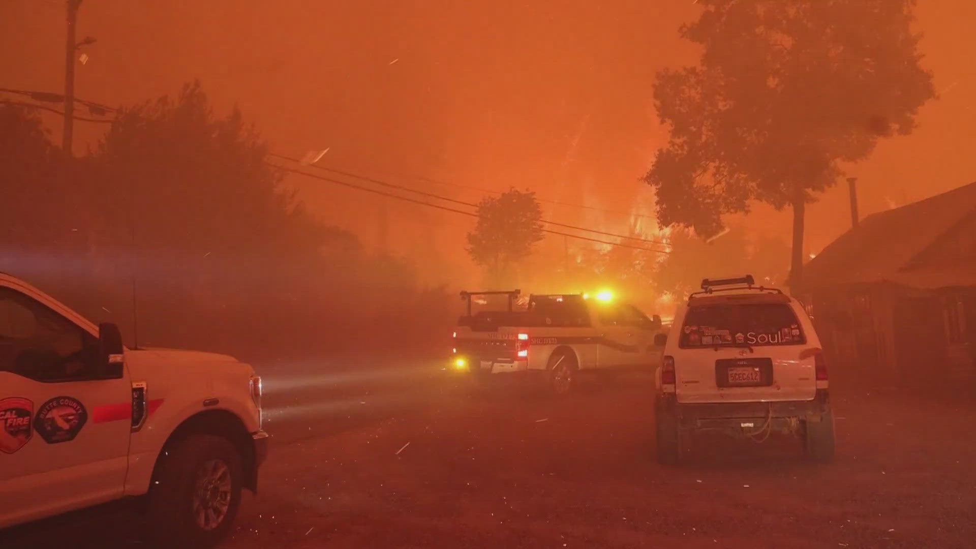
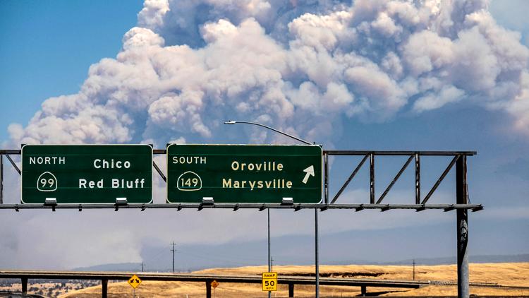
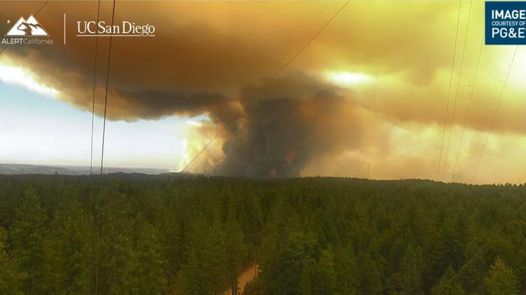
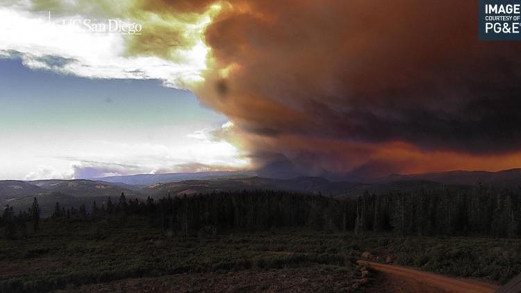
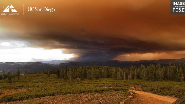
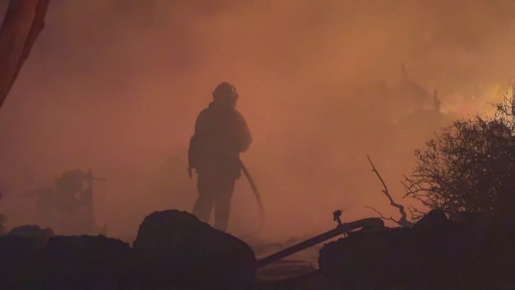
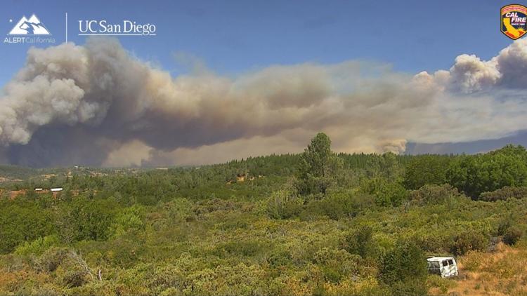
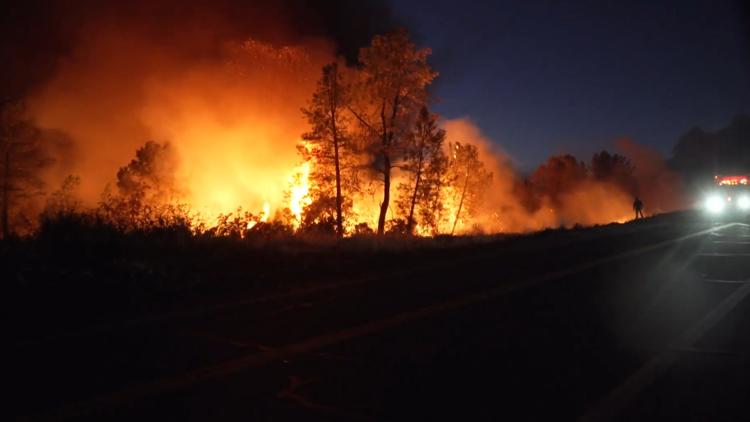
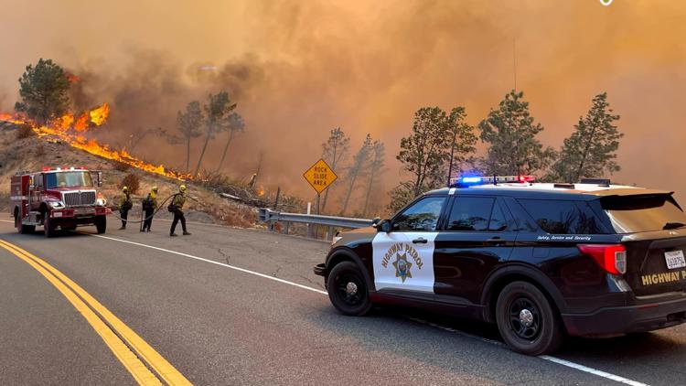
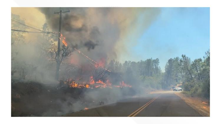
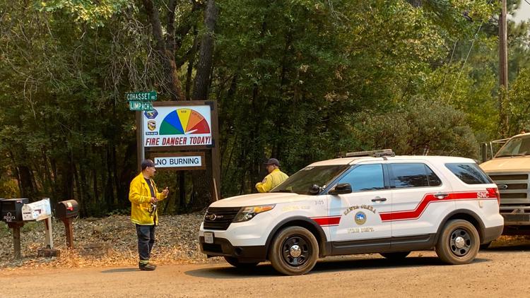
BUTTE COUNTY, Calif — Fire crews continued battling the Park Fire Saturday with lower temperatures and higher humidity aiding them, according to Cal Fire.
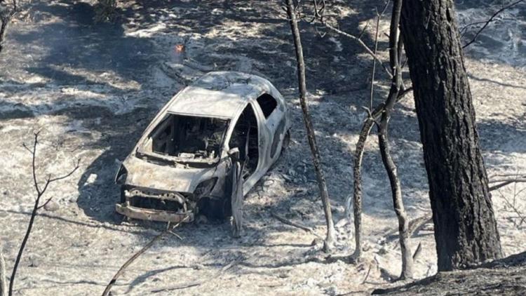
Cal Fire said the fire is at 350,012 acres with 10% containment as of Saturday evening. The fire stands at 546 square miles and was moving quickly north and east after igniting Wednesday when authorities said a man pushed a burning car into a gully in Chico and then calmly blended in with others fleeing the scene.
The forecast called for cooler temperatures that could help slow the Park Fire, the largest blaze so far this year in California. The Park Fire’s intensity and dramatic spread led fire officials to make unwelcome comparisons to the monstrous Camp Fire, which burned out of control in nearby Paradise in 2018, killing 85 people and torching 11,000 homes.
During a Saturday morning briefing Cal Fire officials said their objectives were to box the fore to north of Skyway, East of Highway 99, south of Highway 44 and west of Skyway to Humbug Summit.
Officials at Lassen Volcanic National Park evacuated staff from Mineral, a community of about 120 people where the park headquarters are located, as the fire moved north across Highway 36 and east toward the park.
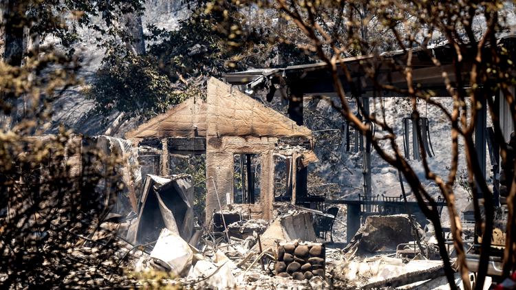
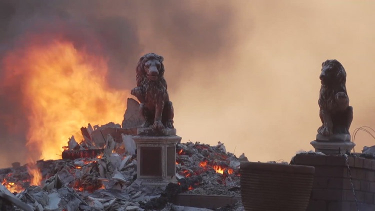
About 134 structures have been destroyed and about 4,200 structures are threatened, according to Cal Fire. Damage assessments are ongoing and may change as fire crews continue battling the fire.
The Park Fire is the largest fire in California so far this year. Gov. Gavin Newsom issued a state of emergency for Plumas, Butte and Tehama counties due to the fire.
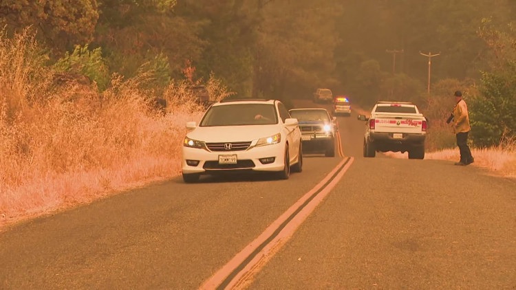
Evacuation orders and warnings are in place in Butte, Tehama and Shasta counties. Warnings have been issued for parts of Plumas County Friday afternoon.
For more ABC10 news and weather coverage on your time, stream ABC10+ on your TV for free:
► Roku - click here
► Amazon Fire - click here
► Apple TV - click here
Park Fire
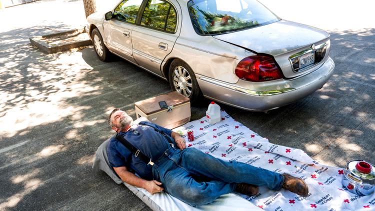
There's an evacuation center at Neighborhood Church located at 2801 Notre Dame Boulevard in Chico. An evacuation shelter for small animals is at 2279 Del Oro Avenue in Oroville and for large animals is at Camelot Equestrian Park 1985 Clark Road in Oroville.
People in Butte County can sign up for emergency alerts HERE. People in Tehama County can sign up for emergency alerts HERE.
Cal Fire activated an information hotline. Local residents can dial 211 and people from outside of Butte County can dial 1-866-916-3566.
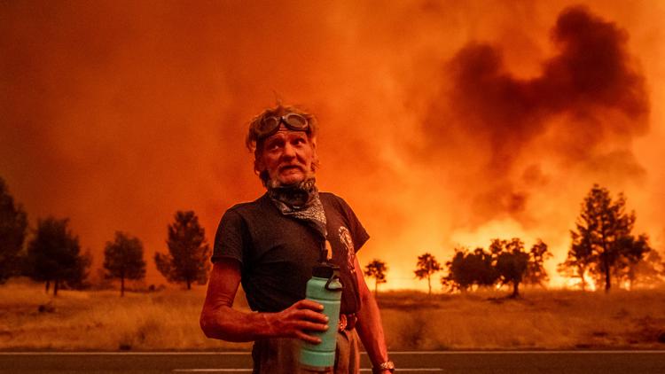
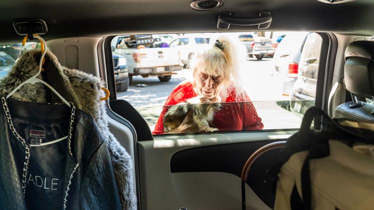
In Chico, California, Carli Parker is one of hundreds who fled their homes as the Park Fire pushed close. Parker decided to leave her Forest Ranch residence with her family when the fire began burning across the street. She has previously been forced out of two homes by fire, and she said she had little hope that her residence would remain unscathed.
“I think I felt like I was in danger because the police had come to our house because we had signed up for early evacuation warnings, and they were running to their vehicle after telling us that we need to self-evacuate and they wouldn’t come back,” said Parker, a mother of five.
Ronnie Dean Stout, 42, of Chico, was arrested early Thursday in connection with the blaze and held without bail pending a Monday arraignment, officials said. There was no reply to an email to the district attorney asking whether the suspect had legal representation or someone who could comment on his behalf.
Amanda Brown, who lives in the same community where Stout was arrested, said she was stunned that someone would set a fire in a region where the memories of the devastation in Paradise are still fresh.
“That anyone could deliberately put our community through that again is incredibly cruel. I don’t understand it,” said the 61-year-old Brown, who's about a mile (1.6 kilometers) from the fire but had not been ordered to evacuate.
Stay Informed
Evacuations
Butte County Evacuations: An Evacuation Center has been established at Neighborhood Church located at 2801 Notre Dame Blvd in Chico. An evacuation shelter for small animals is at 2279 Del Oro Ave. in Oroville and for large animals is at Camelot Equestrian Park 1985 Clark Road in Oroville.
A map of evacuations in Butte County can be viewed below.
Shasta County Evacuations:
Parts of southern Shata County around Highway 44 are under evacuation orders or warnings. See their map HERE for details.
Plumas County Evacuations:
A portion of western Plumas County southwest of Lake Almanor is under an evacuation warning as of Saturday. See the latest zones with the county's map HERE.
Tehama County Evacuations:
A map of evacuations in Tehama, Plumas and Shasta counties can be viewed below. Red Cross evacuation shelter located at Los Molinos Vets Hall 7980 Sherwood Blvd.
Scroll down, click "view full screen" and view the map.
Fire Map
This map from the National Interagency Fire Center shows fire activity (this may take a few seconds to load):
WATCH MORE: As the fight to put out the Park Fire continues, officials with Cal Fire and the United States Forest Services say they've made some efforts to treat the land in the area in the past. Due to terrain and private land ownership, there was no stopping this fire.
WILDFIRE PREPS
If you live in a wildfire-prone zone, Cal Fire suggests creating a defensible space around your home. Defensible space is an area around a building in which vegetation and other debris are completely cleared. At least 100 feet is recommended.
The Department of Homeland Security suggests assembling an emergency kit that has important documents, N95 respirator masks, and supplies to grab with you if you’re forced to leave at a moment’s notice. The agency also suggests signing up for local warning system notifications and knowing your community’s evacuation plans best to prepare yourself and your family in cases of wildfires.
Some counties use Nixle alerts to update residents on severe weather, wildfires, and other news. To sign up, visit www.nixle.com or text your zip code to 888777 to start receiving alerts.
PG&E customers can also subscribe to alerts via text, email, or phone call. If you're a PG&E customer, visit the Profile & Alerts section of your account to register.
What questions do you have about the latest wildfires? If you're impacted by the wildfires, what would you like to know? Text the ABC10 team at (916) 321-3310.

