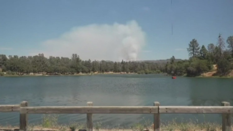
EL DORADO COUNTY, Calif. — El Dorado County says the Placerville Airport will be closed indefinitely due to operations needed to combat the Crozier Fire.
The fire broke out Tuesday in El Dorado County and has burned about 1,832 acres with 5% containment as of Friday morning.
"Current airport tenants will have pedestrian access through the gates to their hangars, however, flight and driving or taxiing throughout the grounds will be restricted until further notice," said the county in a Facebook post.
The wildfire is burning north of Placerville. Cal Fire said the fire is in a remote part of El Dorado National Forest.
The wildfire broke out northwest of Slate Mountain, according to Cal Fire. Evacuations are in place for the blaze.
People in El Dorado County can sign up for emergency alerts HERE.
Stay Informed
Evacuations
Evacuations for the Crozier Fire can be found on the map below. On Wednesday night the El Dorado County Sheriff's Office expanded the evacuation order zone to the greater portion of the Garden Valley, Georgetown, Volcanoville, Mosquito and Quintet areas.
There's a temporary evacuation point at the Placerville Library at 345 Fairlane, Placerville.
The El Dorado County Animal Services Shelter at 6435 Capitol Avenue, Diamond Springs will be open to house animals displaced by the evacuation order.
Fire Map
This map from the National Interagency Fire Center shows fire activity (this may take a few seconds to load):
Wildfire Preps
If you live in a wildfire-prone zone, Cal Fire suggests creating a defensible space around your home. Defensible space is an area around a building in which vegetation and other debris are completely cleared. At least 100 feet is recommended.
The Department of Homeland Security suggests assembling an emergency kit that has important documents, N95 respirator masks, and supplies to grab with you if you’re forced to leave at a moment’s notice. The agency also suggests signing up for local warning system notifications and knowing your community’s evacuation plans best to prepare yourself and your family in cases of wildfires.
Some counties use Nixle alerts to update residents on severe weather, wildfires, and other news. To sign up, visit www.nixle.com or text your zip code to 888777 to start receiving alerts.
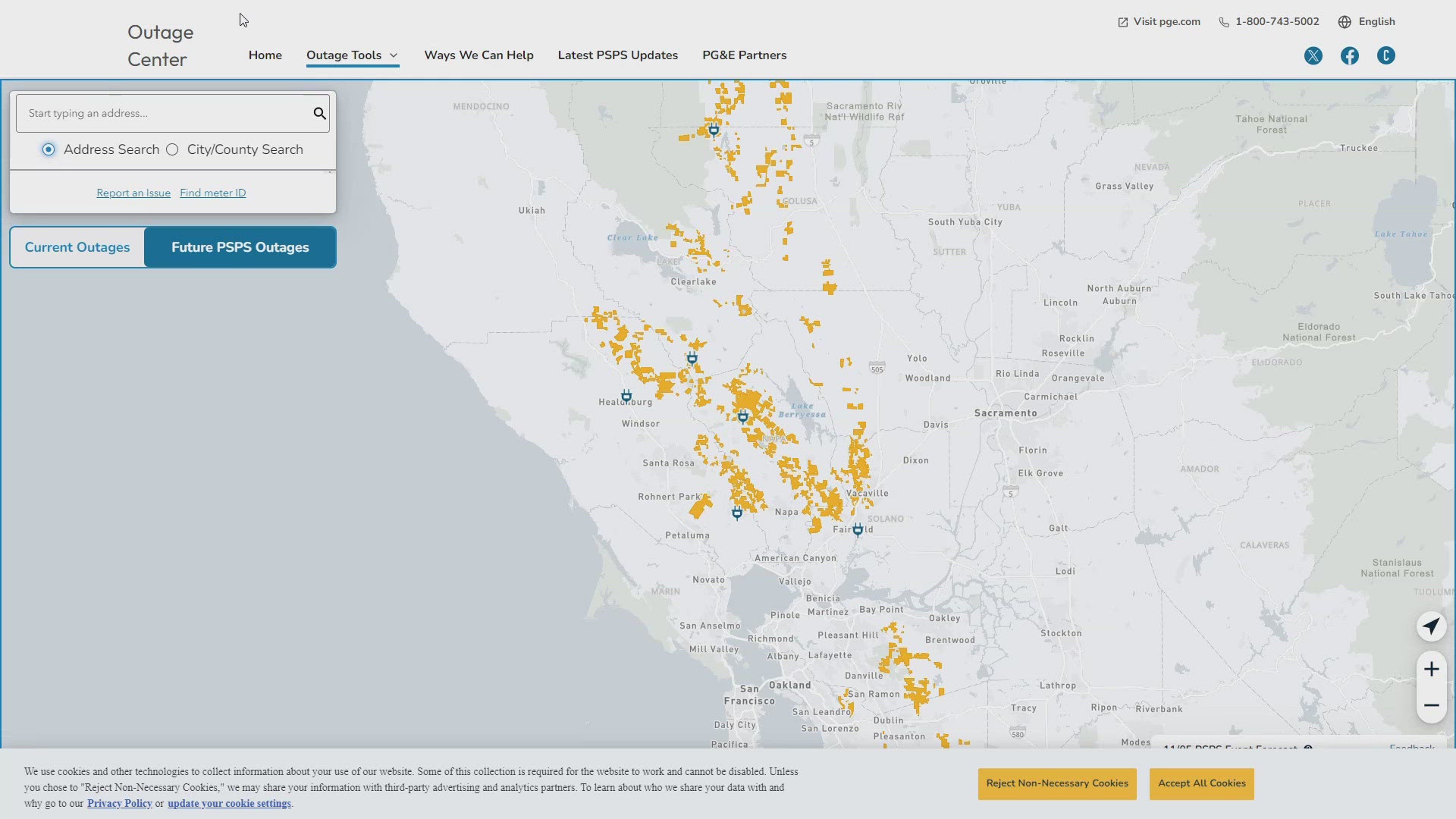
PG&E customers can also subscribe to alerts via text, email, or phone call. If you're a PG&E customer, visit the Profile & Alerts section of your account to register.
What questions do you have about the latest wildfires? If you're impacted by the wildfires, what would you like to know? Text the ABC10 team at (916) 321-3310.
For more ABC10 news and weather coverage on your time, stream ABC10+ on your TV for free:
► Roku - click here
► Amazon Fire - click here
► Apple TV - click here
Watch: ABC10 This Week: Independent review of CapRadio findings, Klamath River Dam Removals and more


