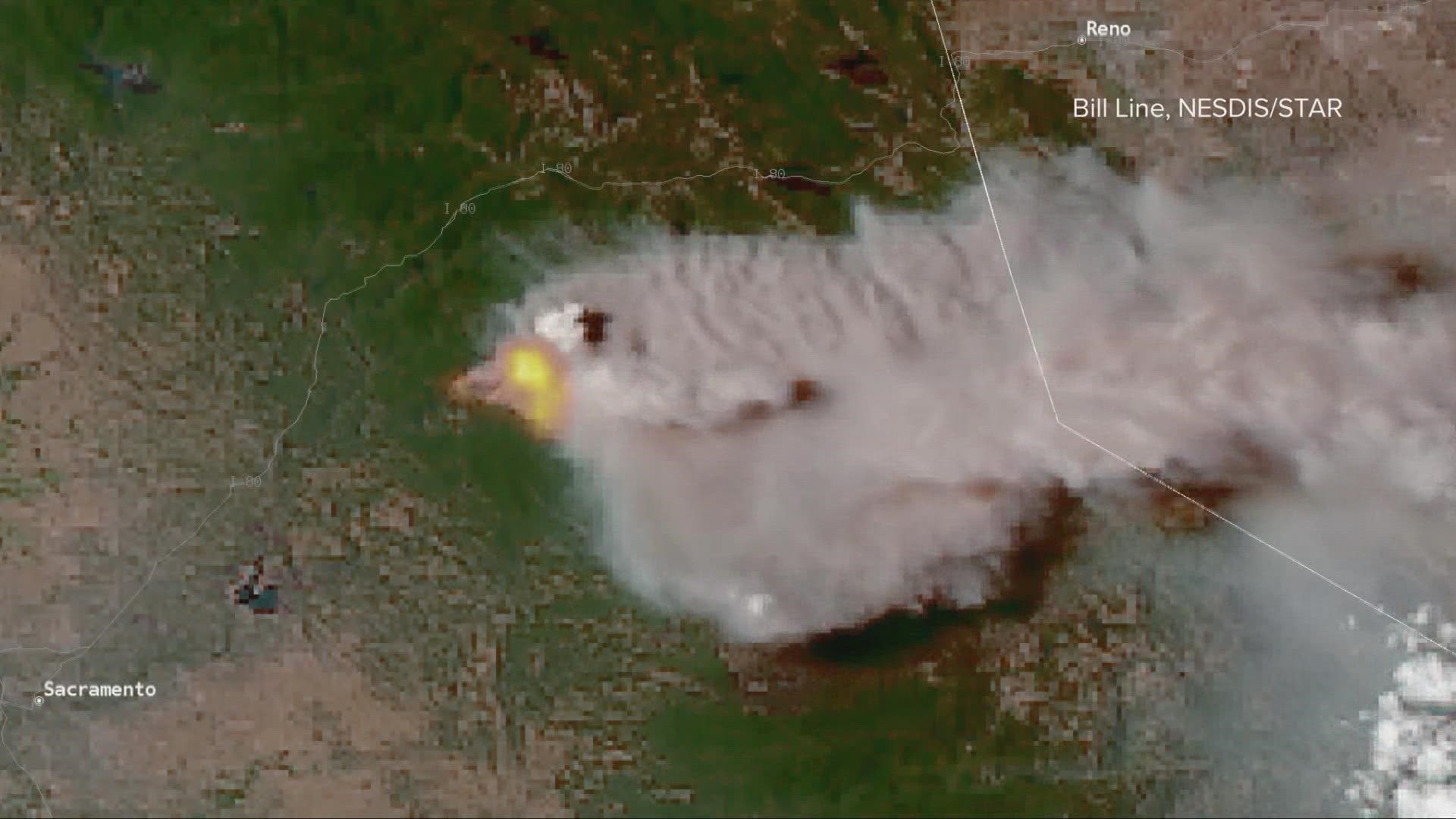
SACRAMENTO, Calif. — If you spent even a few seconds outside Thursday and looked east, it would've been impossible not to notice the big puffy cloud stretching miles into the sky.
James from Roseville put it best: "It's right there in your face. It's actually quite a sight."
It’s known as a pyrocumulus. “Pyro” meaning “fire” in Greek. “Cumulus” meaning “heap” or “pile” in Latin. So, literally, fire pile.
These clouds are full of ash and particles from the charred forests below, sometimes stretching as high as 10 miles into the sky.
It forms when heat from the fire is significantly warmer than the air above it. The average temperature of a wildfire is 1,400°, according to Natural Resources Canada. The air needed to only be around 136° Thursday for cumulus to form.
Fire quickly evaporates any moisture at the surface, causing a cloud to grow rapidly. Particulate matter from the burned area gets tossed up into the air, helping to further grow the cloud.
In some cases, Pyrocumulus can become a pyrocumulonimbus and produce lightning, sparking new fires.
No matter what it's called, it made for quite the dramatic sight in Northern California.
WATCH ON ABC10: Mosquito Fire rapidly grows in Placer, El Dorado County
RELATED: Extreme growth for Mosquito Fire burning in Placer, El Dorado counties | Evacuations, Maps, Updates


