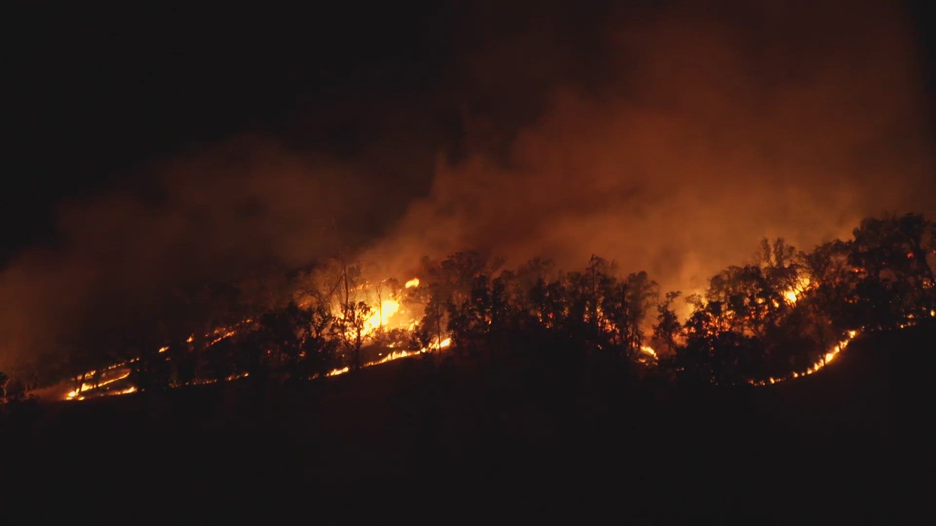
LAKE COUNTY, Calif. — Cal Fire ground and air crews are battling the Ridge Fire near the Colusa and Lake counties line Saturday evening.
The fire started around 4:30 p.m. in the area of Walker Ridge Road and Highway 20. Cal Fire Sonoma-Lake-Napa Unit says the fire rapidly grew to nearly 2,304 acres.
The rapidly growing, "wind driven" fire traveled up Walker Ridge Road and headed into Colusa County. It's now pushing northeast and approaching Bear Valley Road where crews will work to keep it west.
Cal Fire says roughly 50 structures are threatened by the fire — 30 in Lake County and 20 in Colusa County. Cal Fire says the blaze is 10% contained as of 10 p.m. Saturday, though winds are still strong in the area.
Highway 20 at Bear Valley Road and Brim Road is closed, according to Cal Trans. There is no estimated time of reopening. Track the latest traffic HERE.
LAKE COUNTY EVACUATIONS
Both Lake and Colusa counties have issued evacuations to some extent. See the map below for where evacuations are in place for Lake County.
COLUSA COUNTY EVACUATIONS
Evacuation Orders were issued by the Colusa County Sheriff's Office for
- Leeseville Rd to Leeseville
- Bear Valley Rd to Highway 20
- Wilber Springs Road
- Walker Ridge Road
TRAFFIC
Highway 20 at Bear Valley Road and Brim Road is closed, according to Cal Trans. There is no estimated time of reopening. Track the latest traffic HERE.
- Eastbound Highway 20 east of Clearlake Oaks @ Route 53
- Westbound Highway 20 @ E St ( Williams)
- Highway 16 from Brooks, Ca
- Leeseville Rd @ King Rd
- Leeseville -Lodoga Rd @ Bear Valley Rd
STAY INFORMED
WILDFIRE PREPS
If you live in a wildfire-prone zone, Cal Fire suggests creating a defensible space around your home. Defensible space is an area around a building in which vegetation and other debris are completely cleared. At least 100 feet is recommended.
The Department of Homeland Security suggests assembling an emergency kit that has important documents, N95 respirator masks, and supplies to grab with you if you’re forced to leave at a moment’s notice. The agency also suggests signing up for local warning system notifications and knowing your community’s evacuation plans best to prepare yourself and your family in cases of wildfires.
Some counties use Nixle alerts to update residents on severe weather, wildfires, and other news. To sign up, visit www.nixle.com or text your zip code to 888777 to start receiving alerts.
PG&E customers can also subscribe to alerts via text, email, or phone call. If you're a PG&E customer, visit the Profile & Alerts section of your account to register.
What questions do you have about the latest wildfires? If you're impacted by the wildfires, what would you like to know? Text the ABC10 team at (916) 321-3310.


