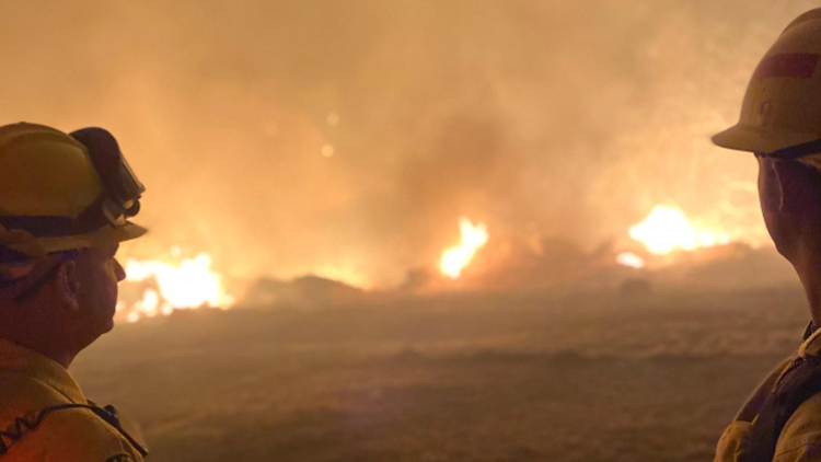
MADERA COUNTY, Calif — Fire crews continued to aggressively attack the River Fire burning in Madera and Mariposa counties.
Cal Fire reported on Tuesday morning the River Fire grew to 9,500 acres and was 15% contained.
Cal Fire said the low humidity, tree torching, wind-driven runs and spot fires continued to challenge firefighters as they try to reinforce control lines while assessing damage to the area.
So far, 600 structures are threatened. In a Tuesday night update, Cal Fire reduced the number of structures destroyed to one. Officials said four minor structures were also destroyed.
Accounts to follow:
The following evacuation orders, warnings, and road closures are still in effect:
Mandatory Evacuations
Madera County:
- Road 800
- Road 810
- Road 812
- Road 600
- Apache Road to 612 both sides
- Road 600 between Apache Ranch and Blazing Saddle Trail and JWP Ranch Road
Evacuation Warnings
Madera County:
- Road 600
- Road 612
- Road 415
Mariposa County:
- Indian Peak at Usona to Road 800
- Oak Grove Road at Oak Grove School Road to Road 800
- Stumpfield from Leonard to Madera County Line
Shelters & Alerts
Red Cross:
- New Life Christian Fellowship Church 5089 Cole Rd. Mariposa, CA
Animal Evacuations information
- Madera County – 559-675-7769
- Mariposa County – 209-966-3615
Sign up for emergency alert notifications
- Madera County- MCAlert.org
- Mariposa County – MSOAlert.com
Road Closures
Madera County:
- Road 600 at Road 619
- Road 600 at Road 612
- Road 800 at Road 613
Mariposa County:
- Oak Grove Road at Oak Grove School Road
- Oak Grove Road at Road 800
Wildfire Maps
WILDFIRE PREPS
According to Cal Fire, 2020 was one of the most severe fire seasons on record as 9,917 wildfires burned 4.2 million acres. Over 9,000 structures were destroyed, and 31 people (civilians and firefighters) were killed.
California also experienced its first "Gigafire" because of the August Complex Fire, burning over 1 million acres by itself. Four of California's top five largest wildfires in state history happened in 2020.
If you live in a wildfire-prone zone, Cal Fire suggests creating a defensible space around your home. Defensible space is an area around a building in which vegetation and other debris are completely cleared. At least 100 feet is recommended.
The Department of Homeland Security suggests assembling an emergency kit that has important documents, N95 respirator masks, supplies to grab with you if you’re forced to leave at a moment’s notice. The agency also suggests signing up for local warning system notifications and know your community’s evacuation plans best to prepare yourself and your family in cases of wildfires.
Some counties use Nixle alerts to update residents on severe weather, wildfires, and other news. To sign up, visit www.nixle.com or text your zip code to 888777 to start receiving alerts.
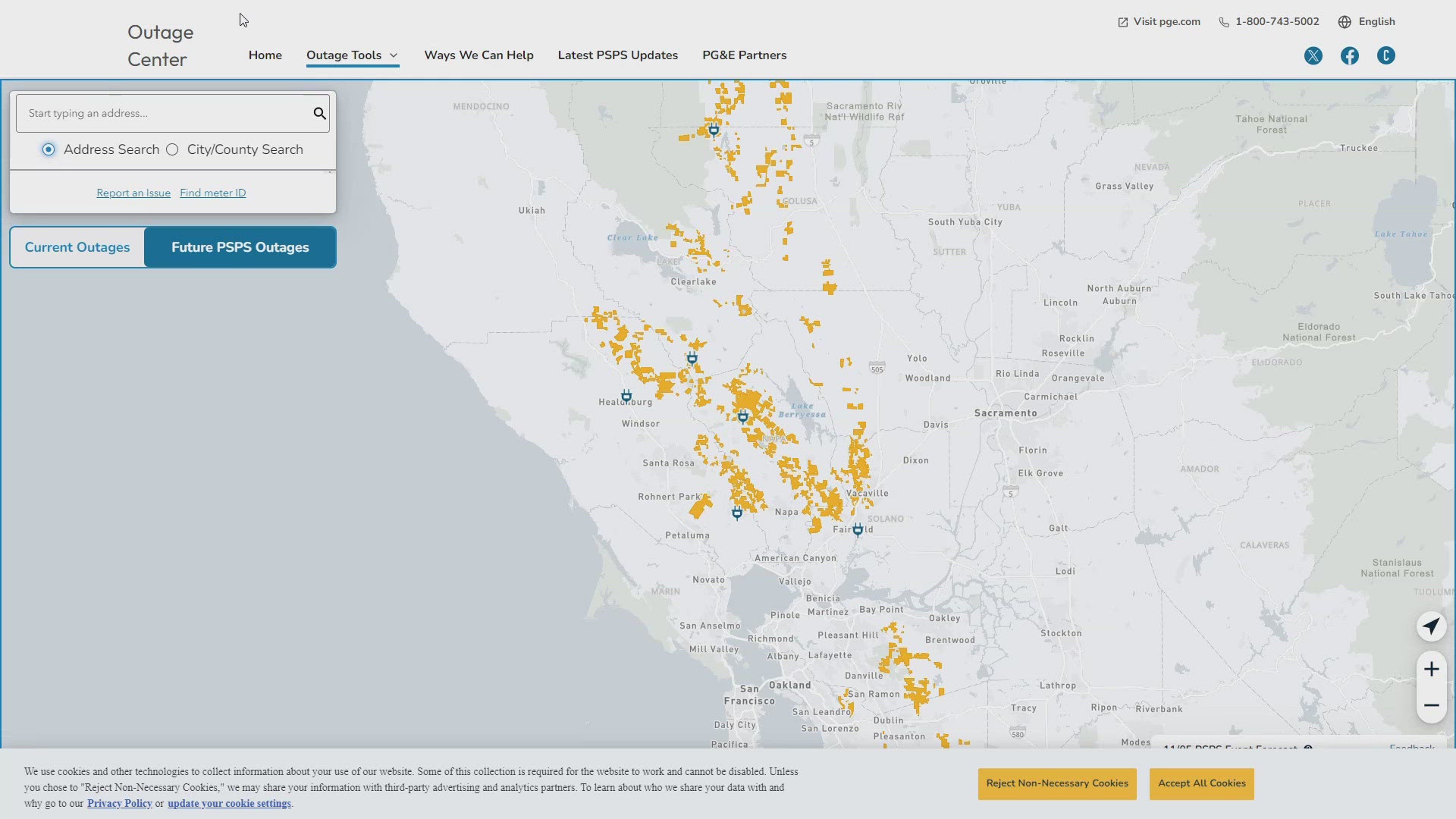
PG&E customers can also subscribe to alerts via text, email, or phone call. If you're a PG&E customer, visit the Profile & Alerts section of your account to register.
ABC10: Watch, Download, Read
WATCH MORE FROM ABC10: Firefighters making progress containing California's largest wildfire | Wildfire Updates


