
PLACER COUNTY, Calif — Thirteen hikers missing in the fire zone as the Royal Fire burns in the Tahoe National Forest on Monday have been located.
The Placer County Sheriff's Office said the people range in age from 16-20 years old and are together. The sheriff's office said around 7:20 a.m. a helicopter located a group of hikers believed to be the ones who were missing. The group was found about 2 miles away from the fire. Search and rescue crews hiked out of the area with the group.
Lt. Ty Conners with the Placer County Office of Emergency Management said they got a call Sunday at the Palisades Creek trail where four vehicles were found. The hikers were going camping.
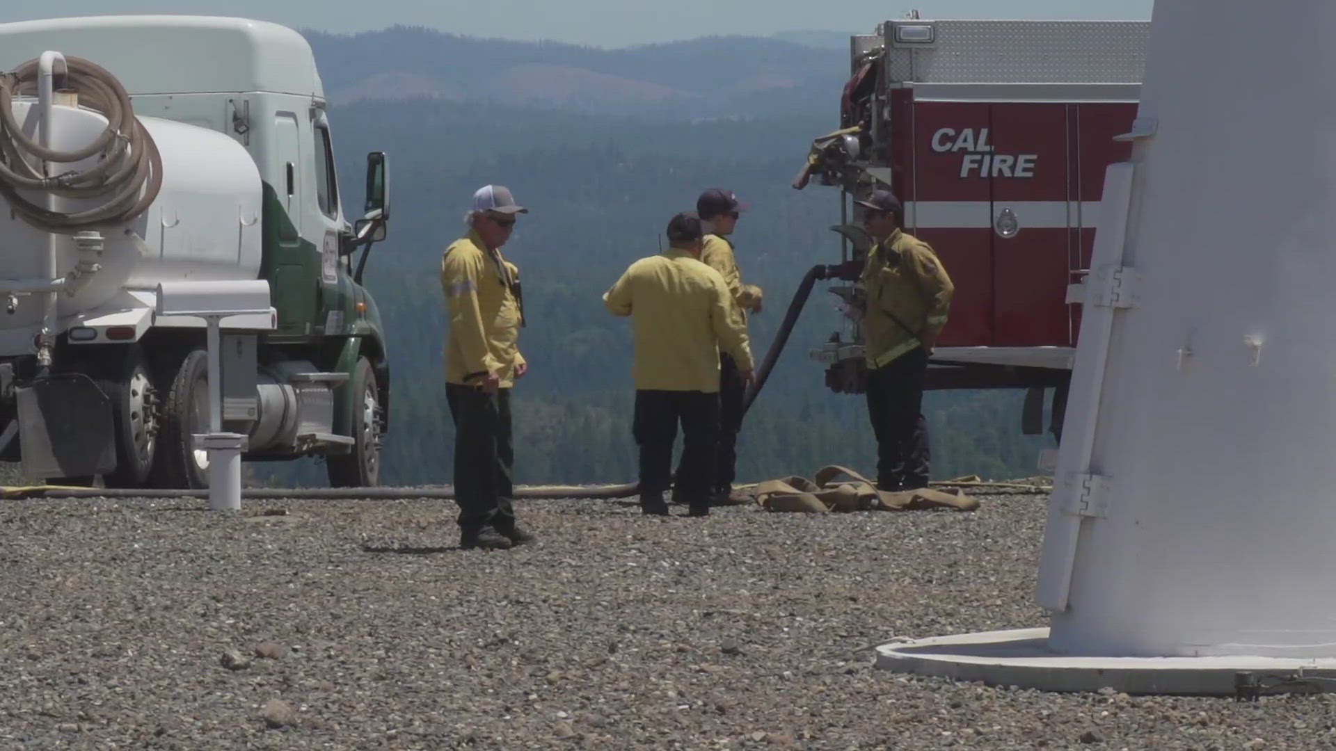
The wildfire is burning in the Royal Gorge area of the forest. It's in a remote and difficult-to-access terrain, according to fire crews. The Placer County Sheriff's Office and Tahoe National Forest are in unified command for the incident.
The wildfire is at 154 acres and 0% contained as of Monday, according to the forest service.
"This fire is sitting in super remote terrain with steep, unforgiving cliffs and a ton of granite," said Nolan Hale, deputy operations for the Royal Fire.
The evacuation warning is for five homes along Soda Springs Road in Placer County. Soda Springs Road is closed from 1.25 miles south of the intersection with Serene Road to the intersection of Soda Springs Road and Forest Service Road 6001-35, according to the sheriff's office.
The cause of the fire is under investigation, but according to the Cal Fire Nevada Yuba Placer Unit, the fire was reportedly caused by an escaped campfire found by hikers.
Stay Informed
Evacuations
View the evacuation warning zone on the map below.
Fire Map
This map from the National Interagency Fire Center shows fire activity (this may take a few seconds to load):
WILDFIRE PREPS
If you live in a wildfire-prone zone, Cal Fire suggests creating a defensible space around your home. Defensible space is an area around a building in which vegetation and other debris are completely cleared. At least 100 feet is recommended.
The Department of Homeland Security suggests assembling an emergency kit that has important documents, N95 respirator masks, and supplies to grab with you if you’re forced to leave at a moment’s notice. The agency also suggests signing up for local warning system notifications and knowing your community’s evacuation plans best to prepare yourself and your family in cases of wildfires.
Some counties use Nixle alerts to update residents on severe weather, wildfires, and other news. To sign up, visit www.nixle.com or text your zip code to 888777 to start receiving alerts.
PG&E customers can also subscribe to alerts via text, email, or phone call. If you're a PG&E customer, visit the Profile & Alerts section of your account to register.
What questions do you have about the latest wildfires? If you're impacted by the wildfires, what would you like to know? Text the ABC10 team at (916) 321-3310.
For more ABC10 news and weather coverage on your time, stream ABC10+ on your TV for free:
► Roku - click here
► Amazon Fire - click here
► Apple TV - click here
WATCH ALSO:


