Update 11 p.m.:
New evacuation orders and warnings have been issued for parts of the SCU Lightning Complex Fire, CAL FIRE reports.
The following evacuation orders were issued late Wednesday night:
Santa Clara County:
- East of San Jose city limits
- South of Mt. Hamilton Road
- North of Metcalf Road and San Felipe Road, east to the county line East of San Antonio Valley Road to Del Puerto Canyon Road to the county line
The following evacuation warnings were also issued late Wednesday night:
Santa Clara County:
- East of Shingle Valley Road and everything east of Anderson Lake, east of Coyote Creek, east of Coyote Reservoir, East of Roop Road east of Leavesley Road, east of Crews Road, east of Ferguson Road
- East and north of Highway 152
- West of the Merced County Line, north of Highway 152
- South of Metcalf Road at Shingle Valley Road, east to the Stanislaus County Line
Update 9:45 p.m.
A new evacuation order has been issued for Stanislaus County residents near the SCU Lightning Complex Fire.
South of the Stanislaus County Line between the Santa Clara County Line and I-5 west of I-5; north of the Stanislaus/Merced county line; and east of the Santa Clara County Line.
Update 9 p.m.
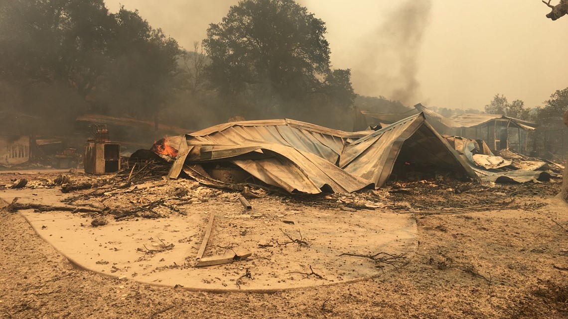
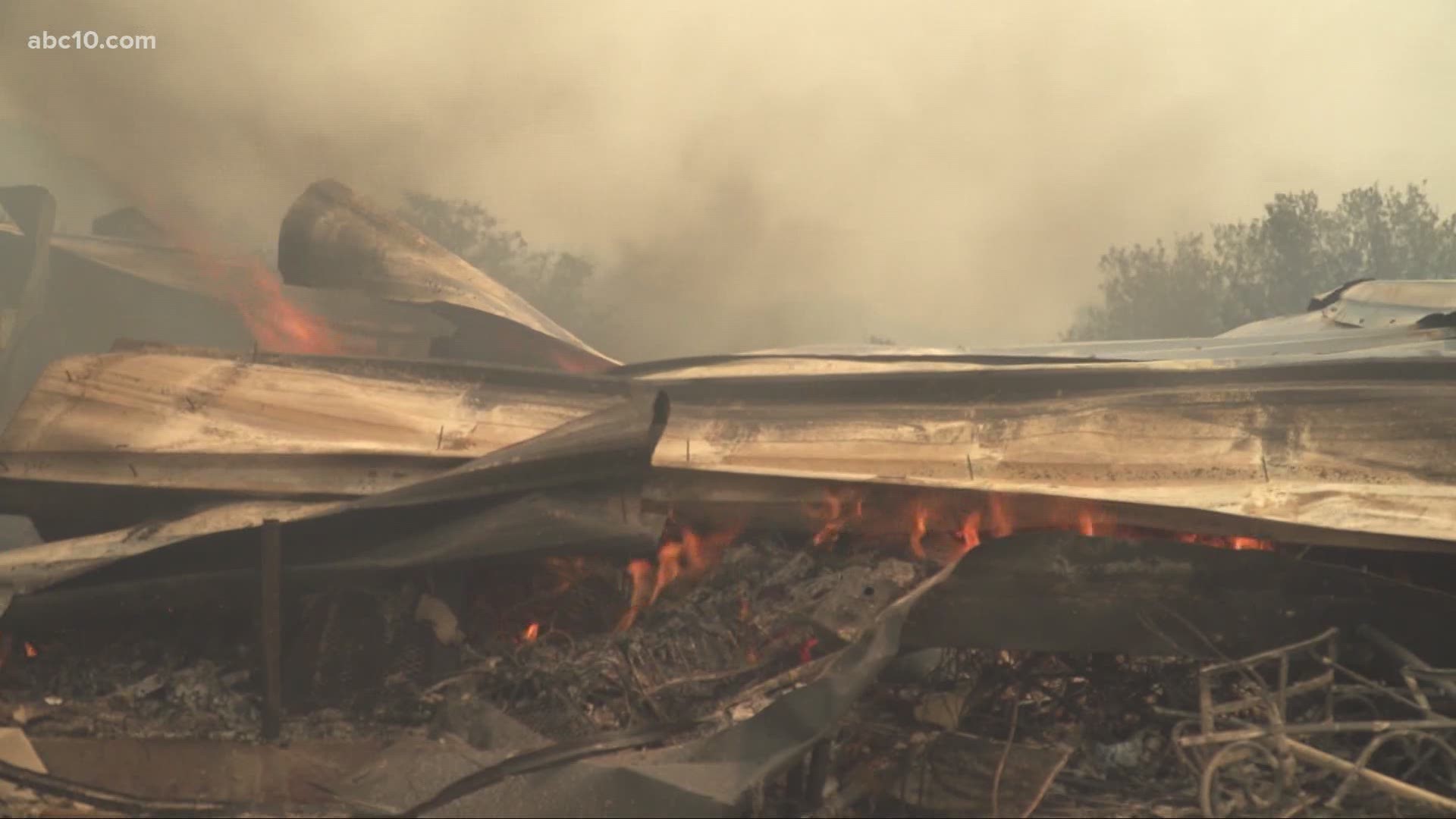
Cal Fire officials said in a press release the SCU Lightning Complex fire exploded to 102,000 acres.
According to Cal Fire, two first responders were injured while they were responding to the SCU Lightning Complex Fire.
Fire crews are continuing to search for access so they could develop both direct and indirect firelines. Crews are also planning to strengthen, patrol existing containment lines on smaller lighting fires.
There haven't been any buildings that were damaged from the SCU Lightning Complex Fire as of publication.
Update 6:30 p.m.
Residents injured in the Canyon Zone of the SCU Lightning Complex Fire are being treated and evacuated Wednesday night, CAL FIRE said.
Information is still developing. So far, authorities have not said how many people were injured or how severe those injuries are.
Original:
As hundreds of fires burn all over California, the largest one, called the SCU Lightning Complex Fire, stretches across five counties in the Bay Area and the Central Valley.
The SCU Lightning Complex Fire is believed to have started around 9:30 a.m. on August 18 but as of 3 p.m., it has already exploded to 85,000 acres burned, according to the latest numbers from CAL FIRE. It is 5% contained.
Fire officials say the SCU Lightning Complex Fire is composed of 20 separate fires in San Joaquin, Stanislaus, Santa Clara, Alameda, and Contra Costa counties. CAL FIRE has established three zones to better focus resources in the fight. Those zones are called the Canyon Zone, the Calaveras Zone, and the Deer Zone.
The Canyon Zone is in parts of Stanislaus County and San Joaquin County and includes the Peg Leg Fire, the Terraville Fire, the Del Puerto Fire, and the Peach Fire.
The Calaveras Zone touches parts of Alameda, Santa Clara, and Stanislaus counties and includes the Kilkare Fire, the Arroyo Fire, the Mill Creek Fire, the Welch Fire, the Ohlone Fire, and the Reservoir Fire.
The Deer Zone is in Contra Costa County and includes the Round Fire, the Palm Fire, Marsh Fire, and the Briones Fire.


Multiple evacuation orders have been issued across all zones in this fire, though some have been allowed to expire. One order was issued just after 3 p.m. for the Canyon Zone. This evacuation zone includes all areas of Diablo Grande Parkway and the Diablo Grande community, according to CAL FIRE.
An evacuation center has been established at Creekside Middle School, located at 535 Peregrine Drive, in Patterson, Calif.
Just before 4:30 p.m., a new evacuation order has been issued for residents in Alameda County. That order is for all of Mines Road, south of Mile Marker 10 to the county line.
The Red Cross has established an evacuation shelter at a local hotel for those on Mines Road who are under the evacuation orders. Residents are asked to call the Red Cross at 1-866-803-7041 for more information.
Previous evacuation orders include the following:
Alameda County / Stanislaus County:
- Frank Raines Park to Mines Road Del Puerto Canyon Road 1 mile to Mines Road
Alameda County:
- Welch Creek Road
Santa Clara County:
- North of Highway 130 to Santa Clara County Line
- West of San Antonio Valley Road
- West of Mines Road to Santa Clara County Line
- East of 3 Springs Road and Mt. Hampton Road
- South of Santa Clara County Line
Evacuation warnings have been issued for the following areas:
Alameda County:
- City of Fremont - Mill Creek Road
Santa Clara County: (City of San Jose)
- East of Ed Levin County Park, Felter Road, Sierra Road, Toyon Avenue and Mt. Hamilton Road to Three Springs Road
- North of Mt. Hamilton Road to Three Springs Road
- South of Santa Clara County Line
- West of the Fire Perimeter
The following road closures are also in place:
- Marsh Creek Road between Morgan Territory Road and Deer Valley Road Del Puerto Canyon Road (SR-130) between Mines Road and Diablo Grande Parkway
- Highway 130 at Three Springs Road
- Highway 130 at Quinby Road

