
COLUSA COUNTY, Calif. — The Sites Fire in Colusa County has grown to 19,123 acres as of Wednesday and is 10% contained.
The winds shifted from north to southeast overnight, so crews were focusing on the north side of the fire, according to a Cal Fire spokesperson.
With the lack of winds, crews have been able to a better handle on the Sites Fire, however heat could be a concern heading into the weekend. Temperatures will get into the 90s and hundreds.
In the meantime, Operation Section Chief Shane Lauderdale said crews had a lot of success building line on the west side of the fire, but the north end posed some challenges due to rugged terrain and spotting. Crews were able to build fire line in the area and the fire is holding on those built lines.
Crews are looking to improve lines on the eastern and northern ends of the fire as the firefight continues.
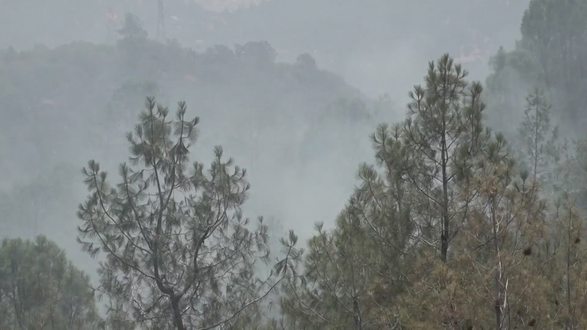
Evacuations are ongoing and several structures are threatened, according to Cal Fire. The fire is burning in tall grass and brush in a remote area southeast of Stonyford near Sites Lodoga Road and Wilson Creek.
Operations Section Chief Shane Lauderdale said Tuesday the challenge for crews will come in the following days with a careful firing operation to keep the fire within containment lines and north of Leesville.
Evacuations
Evacuation Orders:
- Leesville Lodoga Road to Leesville
- Leesville to Huffmaster Road
- Huffmaster Road to Sites
- Leesville Road to Antelope Valley Ranch and North from Antelope Valley Ranch
- Sites Lodoga Road at Sites (has a hard road Closure)
Evacuation Warnings:
- South of Leesville Road along Bear Valley Road to Highway 20
Highway 20 East to Leesville Road
Colusa Veterans Hall 108 E Main Street in Colusa is open for shelter needs.
Fire Perimeter Map
This is a map from Cal Fire as of June 18 at 9 a.m.

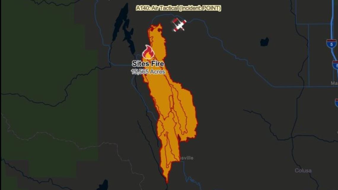
This map from the National Interagency Fire Center shows the perimeter of the Sites Fire.
WILDFIRE PREPS
If you live in a wildfire-prone zone, Cal Fire suggests creating a defensible space around your home. Defensible space is an area around a building in which vegetation and other debris are completely cleared. At least 100 feet is recommended.
The Department of Homeland Security suggests assembling an emergency kit that has important documents, N95 respirator masks, and supplies to grab with you if you’re forced to leave at a moment’s notice. The agency also suggests signing up for local warning system notifications and knowing your community’s evacuation plans best to prepare yourself and your family in cases of wildfires.
Some counties use Nixle alerts to update residents on severe weather, wildfires, and other news. To sign up, visit www.nixle.com or text your zip code to 888777 to start receiving alerts.
PG&E customers can also subscribe to alerts via text, email, or phone call. If you're a PG&E customer, visit the Profile & Alerts section of your account to register.
What questions do you have about the latest wildfires? If you're impacted by the wildfires, what would you like to know? Text the ABC10 team at (916) 321-3310.
WATCH ALSO:


