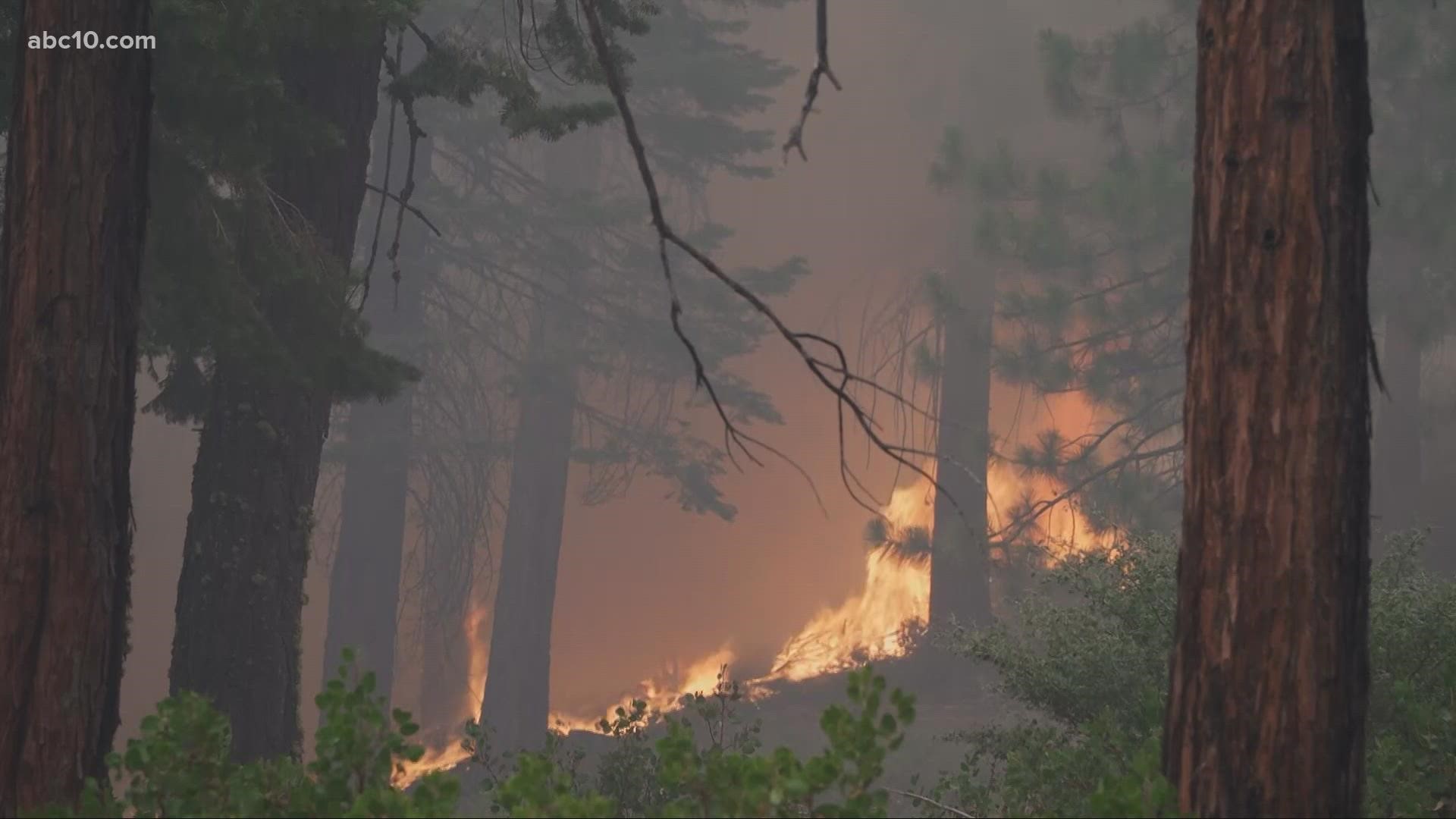
SOUTH LAKE TAHOE, Calif. — ----
Saturday's updates are at /article/news/local/wildfire/caldor-fire-latest-evacuations-maps-updates/103-ffeebbc8-d802-4179-8690-865c2f0f35d7
----
A community on the shore of Lake Tahoe issued an emergency declaration and a tourism group discouraged visitors from coming amid smoky skies from a major wildfire.
South Lake Tahoe declared an emergency Thursday to be better prepared if evacuations are ordered and the community is threatened by the Caldor Fire. The action will let them leverage federal and state resources as the city responds to the fire. It does not indicate any change to evacuation status, city officials said. Changing wind patterns will create gusts as high as 35 miles per hour through the weekend into Monday, and a Red Flag Warning may go into effect.
Cal Fire has made it a critical priority to protect the lines and avoid the fire from spreading to Lake Tahoe. Structures are being prepped with 30 feet of critical defense space to include sprinkler kits for structures that firefighters can't get to.
In addition to the emergency declaration, the Lake Tahoe Visitors Authority is asking visitors to postpone any upcoming trips to the region until the fire is under control.
Trooper Charles Caster with the Nevada Highway Patrol suggested in a statement to ABC10 if residents have the ability to leave early, it is recommended.
"The roadways/highways can be more hazardous to drive with the limited visibility from the smoke. It is recommended that drivers leave early, slow down, and ensure to leave plenty of space between them and the vehicle in front of them," Caster said.
The Caldor Fire, the nation's top priority for firefighting resources, grew to more than 145,463 acres southwest of Lake Tahoe as containment remained at 19%. It continues to push east, prompting evacuation orders all the way to Echo Summit. Some residents under evacuation warnings cleared up pine needles and flammable debris from their homes; others fled.
“I didn’t want to deal with that at all, so I decided to skip town early," Emily Lauren, a South Lake Tahoe resident, said. She evacuated last Saturday, taking Highway 89 to Interstate 80 to her family in Yuba City.
“There’s 20,000 or more people in Tahoe and I didn’t want to deal with the traffic and leaving, and sitting in 10 hours of one lane [traffic] trying to get out," Lauren said.
New evacuation orders were issued by Cal Fire on Friday evening that includes those living near Pleasant Valley Road and all intersecting roads that extended south from Newton Road to the intersection of E-16. The order also impacts all roads accessed from E-16 between Bucks Bar Road.
Homes near Moon-Shadow and Gopher Hole and Bucks Bar Road are also under the evacuation order.
An aid station for evacuees has been made available at the Folsom Lake College Eldorado Center.
Officials from the California Office of Emergency Services [Cal OES] say if you’re uncomfortable or unsure, don’t wait for a formal notification.
“It’s better to evacuate too early than too late," Bryan May, public information officer with Cal OES, said.
Red Hawk Casino in Placerville will temporarily close its doors because of poor air quality until Monday, Aug. 30.
Firefighters were trying to stop the fire before winds and temperatures pick up and humidity drops. The fire is one of nearly 90 blazes burning in the West Coast.
Evacuations and Road Closures
Click HERE for in-depth evacuation orders and warnings in El Dorado County. For evacuation orders and warnings in Amador County, click HERE for the Amador County Sheriff's Facebook page and HERE for their website. For current state highway/route information visit roads.dot.ca.gov.
Evacuation centers
- Shelter Green Valley Community Church, Placerville, CA
- Shelter- FULL // Cameron Park CSD, Cameron Park, CA
- Temporary Evacuation Point // Amador County Fairgrounds, Plymouth, CA
- Evelynn Bishop Hall, Ione, CA
- Rolling Hills Church, El Dorado Hills, CA
- Douglas County Community Center, Gardnerville, NV
Animal Evacuation Centers:
- El Dorado County Animal Services (small animals), Diamond Springs, CA. For animal evacuation questions or assistance call (530) 621-5795
- Saureel Vineyards (large animals)- FULL, Placerville, CA
- Amador County Fairgrounds (large animal)- for Amador County residents only, Plymouth, CA
Accounts to follow
Evacuation Maps
A map of evacuations from the El Dorado County Sheriff's Office is available below.
Wildfire map
Click here for a map of the Caldor Fire.
Structure Damage Map
A map of structural damage from the El Dorado County Sheriff's Office is available below.
►Stay in the know! Sign up now for the Daily Blend Newsletter
What questions do you have about the latest wildfires? If you're impacted by the wildfires, what would you like to know? Text the ABC10 team at (916) 321-3310.
Wildfire Preps
If you live in a wildfire-prone zone, Cal Fire suggests creating a defensible space around your home. Defensible space is an area around a building in which vegetation and other debris are completely cleared. At least 100 feet is recommended.
The Department of Homeland Security suggests assembling an emergency kit that has important documents, N95 respirator masks, supplies to grab with you if you’re forced to leave at a moment’s notice. The agency also suggests signing up for local warning system notifications and know your community’s evacuation plans best to prepare yourself and your family in cases of wildfires.
Some counties use Nixle alerts to update residents on severe weather, wildfires, and other news. To sign up, visit www.nixle.com or text your zip code to 888777 to start receiving alerts.
PG&E customers can also subscribe to alerts via text, email, or phone call. If you're a PG&E customer, visit the Profile & Alerts section of your account to register.
ABC10: Watch, Download, Read
Watch more from ABC10
Verify | Are Plumas County residents who had to evacuate due to Dixie Fire eligible for FEMA aid?


