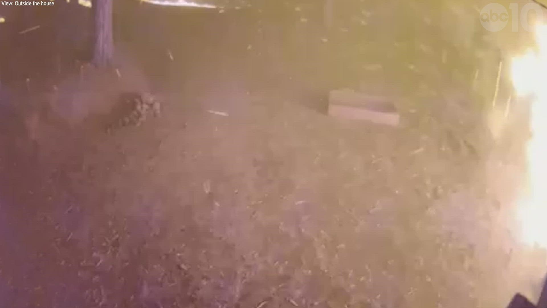
EL DORADO COUNTY, Calif. — El Dorado County residents now have access to an online map that shows structure damage due to the Caldor Fire.
The El Dorado County Sheriff's Office teamed up with Cal Fire to create a map that shows a list of damaged and destroyed structures. The listing is updated at 9 a.m. every day after Cal Fire completes an inspection.
The Caldor Fire started on Saturday, Aug. 14, two miles east of Omo Ranch and four miles south of the community of Grizzly Flats in El Dorado County. Over 100 structures have been destroyed.
A map of structural damage from the El Dorado County Sheriff's Office is available below.
Wildfire Preps
If you live in a wildfire-prone zone, Cal Fire suggests creating a defensible space around your home. Defensible space is an area around a building in which vegetation and other debris are completely cleared. At least 100 feet is recommended.
The Department of Homeland Security suggests assembling an emergency kit that has important documents, N95 respirator masks, supplies to grab with you if you’re forced to leave at a moment’s notice. The agency also suggests signing up for local warning system notifications and know your community’s evacuation plans best to prepare yourself and your family in cases of wildfires.
Some counties use Nixle alerts to update residents on severe weather, wildfires, and other news. To sign up, visit www.nixle.com or text your zip code to 888777 to start receiving alerts.
PG&E customers can also subscribe to alerts via text, email, or phone call. If you're a PG&E customer, visit the Profile & Alerts section of your account to register.
ABC10: Watch, Download, Read


