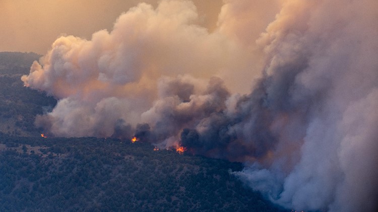
MARKLEEVILLE, Calif. — Crews continue to hold the fire lines to save the homes in and around the Tamarack Fire burning, mostly in Alpine County.
The Tamarack Fire grew roughly 8,000 acres on Thursday to Friday, bringing the total of acres burned to 58,417 and roughly 4% contained, according to Rocky Mountain Area Incident Management Team.
Despite lighter winds forecasted for Friday, July 23, fire crews expect the fire to remain active due to the vast amount of dry fuel on the ground and heat in the forecast. According to fire officials, the wind speeds in the area are also expected to pick up later in the day, adding to the potential of growth of the Tamarack Fire.
The Alpine County Sheriff's Department is still helping residents gather important items from their homes. Law enforcement will be available to assist evacuated residents going to their homes on Friday, July 23 from 9:30 a.m. to noon, and from 1:30 to 5 p.m. Interested residents should meet law enforcement at the California-Nevada state line on Foothill Road.
For Thursday's Tamarack Fire story, click HERE.
Accounts to follow:
Mandatory evacuations
The following locations and their surrounding areas are under a mandatory evacuation, according to Alpine County:
- Markleeville
- Mesa Vista area
- Grover Hot Springs
- Shay Creek
- Marklee Village
- Carson River Resort
- Alpine Village
- Blue Lakes Road
- Wolf Creek Campground
- Silver Creek Campground
- Sierra Pines
- Upper Manzanita
- Lower Manzanita
- Crystal Springs
- Diamond Valley Road
- Topaz Ranch Estates
- Topaz Lake areas
Evacuation Warning
- Leviathan Mine Road
- Holbrook Junction
Evacuation Center
- Douglas County Community Senior Center in Gardnerville, Nevada
- Topaz Ranch Estates Community Center, 3939 Carter Dr., Wellington, Nevada
- St Gall Catholic Church is offering fire victims help with clothing and household items. The church office is open M-F from 9-2. http://www.saintgall.org
- Smith Valley High School, 20 Day Lane, Smith, Nev.
Animal Evacuation Center
- Carson City Fairgrounds - large animals and livestock
- Dressler Park, 23 Circle Drive, Wellington, Nevada - livestock
Road Closures
- State Route 4 is closed from Ebbetts Pass to State Route 89
- State Route 88 remains closed from Picketts Junction to the California-Nevada state line.
- Route 89 is closed from the Route 88 Junction at Woodfords to the Alpine/Mono County Line.
- Route 89 is closed from Route 395 to the Alpine/Mono County Line.
- Monitor Pass/Route 89 in northern Mono County is closed
- U.S. 395 is CLOSED from Route 108 to the Nevada State Line
Wildfire Map
WILDFIRE PREPS
According to Cal Fire, 2020 was one of the most severe fire seasons on record as 9,917 wildfires burned 4.2 million acres. Over 9,000 structures were destroyed, and 31 people (civilians and firefighters) were killed.
California also experienced its first "Gigafire" because of the August Complex Fire, burning over 1 million acres by itself. Four of California's top five largest wildfires in state history happened in 2020.
If you live in a wildfire-prone zone, Cal Fire suggests creating a defensible space around your home. Defensible space is an area around a building in which vegetation and other debris are completely cleared. At least 100 feet is recommended.
The Department of Homeland Security suggests assembling an emergency kit that has important documents, N95 respirator masks, supplies to grab with you if you’re forced to leave at a moment’s notice. The agency also suggests signing up for local warning system notifications and know your community’s evacuation plans best to prepare yourself and your family in cases of wildfires.
Some counties use Nixle alerts to update residents on severe weather, wildfires, and other news. To sign up, visit www.nixle.com or text your zip code to 888777 to start receiving alerts.
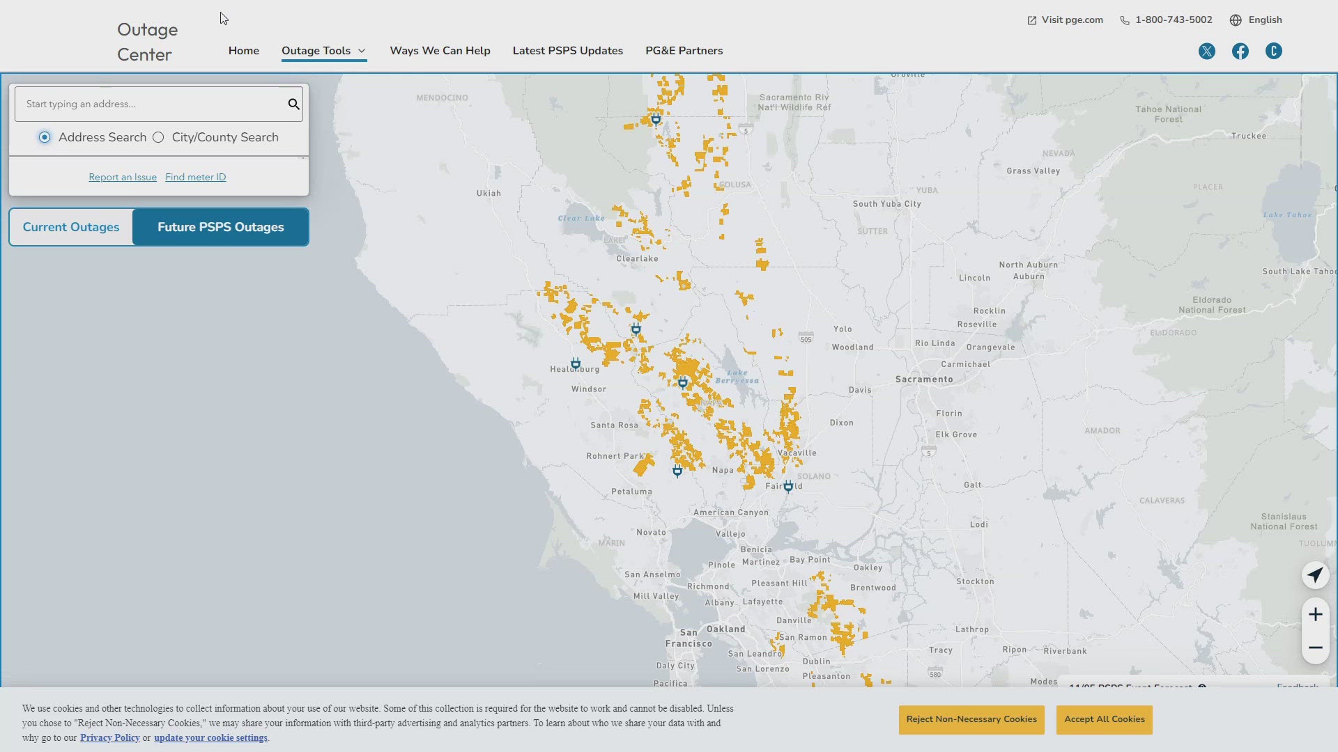
PG&E customers can also subscribe to alerts via text, email, or phone call. If you're a PG&E customer, visit the Profile & Alerts section of your account to register.


