
BUTTE COUNTY, Calif. — Click here for the latest updates on the Thompson Fire.
Cal Fire is battling a vegetation fire in Butte County which has prompted evacuation warnings and orders.
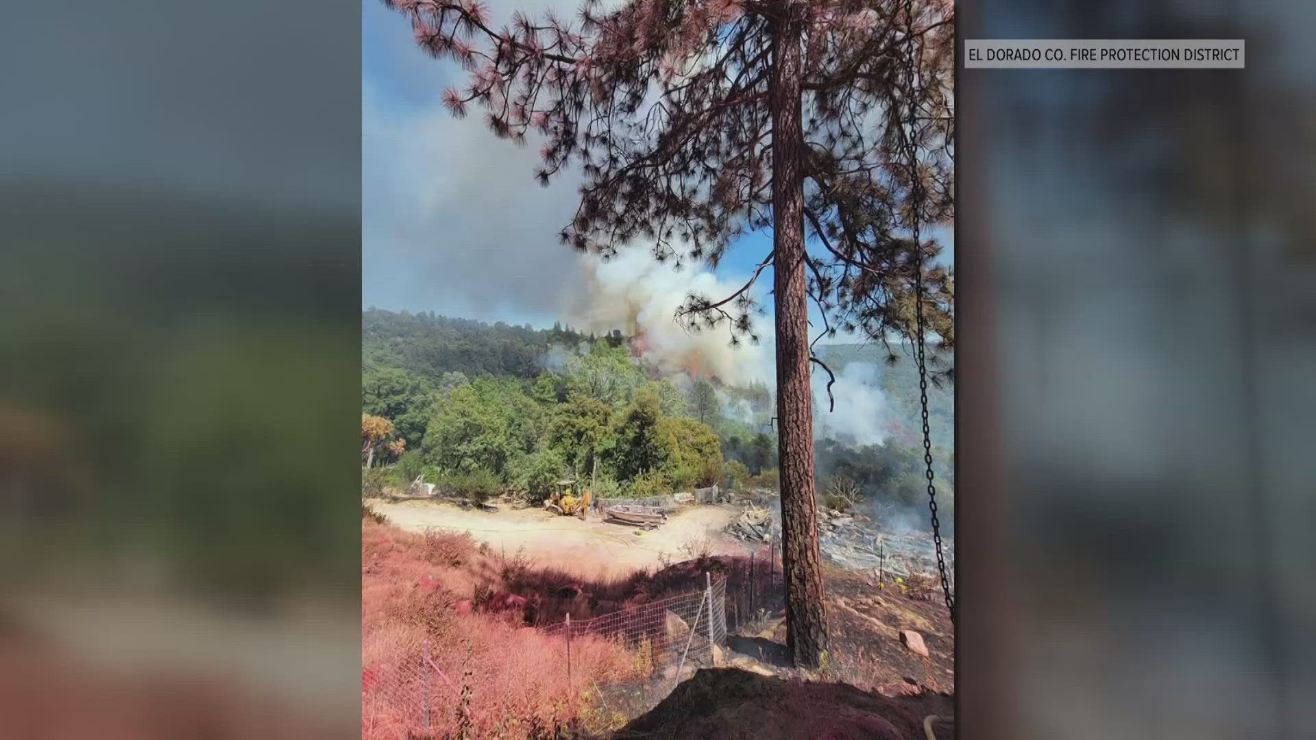
The Thompson Fire sparked in the area of Cherokee and Thompson Flat Cemetery roads near Oroville Tuesday morning, according to Cal Fire. Fire officials said there's a threat to multiple infrastructures, including power and water supply to the Oroville area.
"The conditions out there that are in our county this summer are much different than we've experienced the last two summers. The fuels are very dense the brushes dry and as you can see any wind will move a fire out very quickly," said Butte Unit Chief Garret Sjolound.
Sjolound said fire crews are holding the fire north of the Long Bar Road area and also contained a spot fire on Rusty Dusty Road.
He said crews have prioritized holding the fire at the Oroville Dam and keeping it out of Kelly Ridge.
Notably, the fire is also moving up toward the Cherokee Road area. Crews are trying to hold the fire south of Red Tape Road, below the Oregon City Table Mountain Cherokee area.
Crews set up line set up on the west side of the fire, from Table Mountain down to Cherokee Road, that is holding. Officials don't expect any growth in that area through the night.
An evacuation center has opened at the Oroville Church of the Nazarene, located at 2238 Monte Vista Ave. in Oroville. A large animal shelter opened at 1985 Clark Road in Oroville and one for small animals opened at 2279 Del Oro Ave. in Oroville, according to Butte County officials.
About 13,000 residents of Butte County are under an evacuation order. The fire has grown to about 2,135 acres.
STAY INFORMED:
Below are six maps showing the current conditions for everything from evacuations to weather.
EVACUATIONS:
Type in your address or move the map around to see latest evacuation warnings and orders.
FIRE LOCATION MAP:
This map from the National Interagency Fire Center shows fire activity (this may take a few seconds to load):
TRAFFIC MAP
Waze's traffic map show the closed roads:
WEATHER MAP
Radar map from ABC10.com. You can tap "locations" in the bottom left corner to find your specific area. Adjust the layers with a filter on the bottom right corner to show heat, wind and other conditions:
WILDFIRE PREPS
If you live in a wildfire-prone zone, Cal Fire suggests creating a defensible space around your home. Defensible space is an area around a building in which vegetation and other debris are completely cleared. At least 100 feet is recommended.
The Department of Homeland Security suggests assembling an emergency kit that has important documents, N95 respirator masks, and supplies to grab with you if you’re forced to leave at a moment’s notice. The agency also suggests signing up for local warning system notifications and knowing your community’s evacuation plans best to prepare yourself and your family in cases of wildfires.
Some counties use Nixle alerts to update residents on severe weather, wildfires, and other news. To sign up, visit www.nixle.com or text your zip code to 888777 to start receiving alerts.
PG&E customers can also subscribe to alerts via text, email, or phone call. If you're a PG&E customer, visit the Profile & Alerts section of your account to register.
What questions do you have about the latest wildfires? If you're impacted by the wildfires, what would you like to know? Text the ABC10 team at (916) 321-3310.
WATCH MORE: 100-degree heat is on the way. Here's the forecast
For more ABC10 news and weather coverage on your time, stream ABC10+ on your TV for free:
► Roku - click here
► Amazon Fire - click here
► Apple TV - click here


