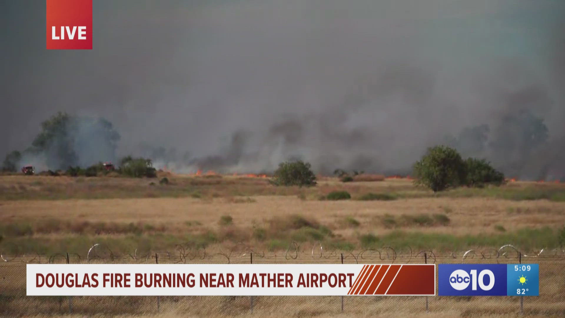
COPPEROPOLIS, Calif. — Things might get a bit smoky south of Copperopolis due to drift smoke from the Aero Fire.
The Calaveras County Sheriff's Office says the Aero Fire has burned about 1,000 acres so far. Cal Fire says the blaze sparked in the area of Aero Road and Hunt Road in Copperopolis and is burning at a rapid rate.
As the fire burns, winds are expected to push the smoke to the south, over areas like Stanislaus County. The Stanislaus County Office of Emergency Services said eastern parts of the county could be impacted by smoky conditions.
"Strong northerly to northwesterly winds will be carrying the large smoke plume from the Aero Fire to areas south of the Copperopolis area," said ABC10 Meteorologist Brenden Mincheff. "Northerly winds continue through the overnight so there won't be any improvement in air quality until the north winds come to an end."
The San Joaquin Office of Emergency Services said their county could also see impacts from the wildfire smoke, possibly from both the Aero Fire and the Points Fire in Sonoma County.
Air quality maps from AirNow.gov shows moderate air quality across San Joaquin County and Stanislaus County. The area around Turlock, Newman and Waterford has fallen into the unhealthy for sensitive groups category.
Air Quality Map
An air quality map from AirNow.gov is available below.


