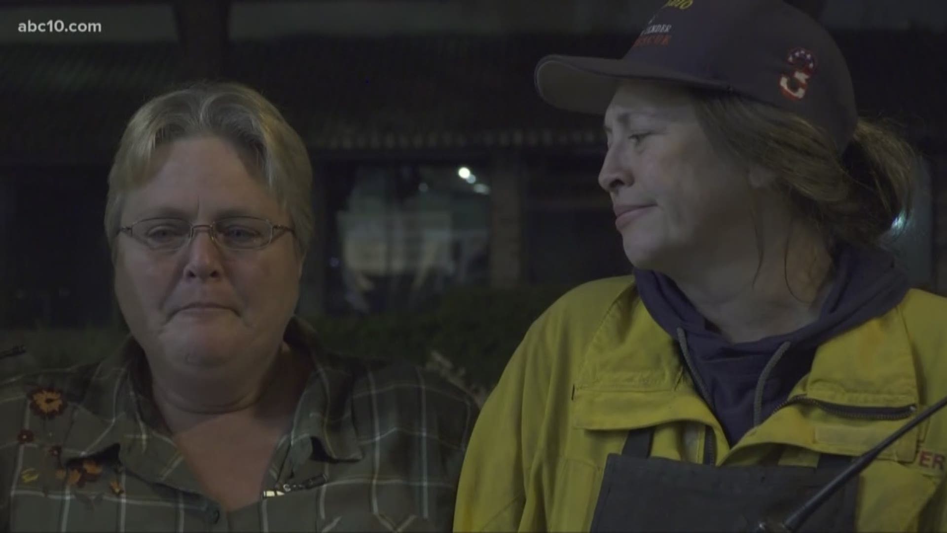
The Woolsey Fire in the Thousand Oaks and Malibu area has burned more than 93,000 acres, destroyed hundreds of homes in L.A. and Ventura counties and killed at least 2 people since it began on Thursday, Nov. 8, 2018.
Many roads in the area are closed. This real-time Waze maps shows the latest conditions:
Here's a look at the California Office of Emergency Services map and resources allotment. (Note this map might take a few seconds to upload.)
Get a lot of this in one map with Google's crisis map:
Watch now... Episode 8 "The New Normal" | California’s leaders tell us we’ve entered a “new normal” of more intense wildfires. The truth is: Experts think the deadly mega-fires we’ve seen are just a preview of the new normal.

