

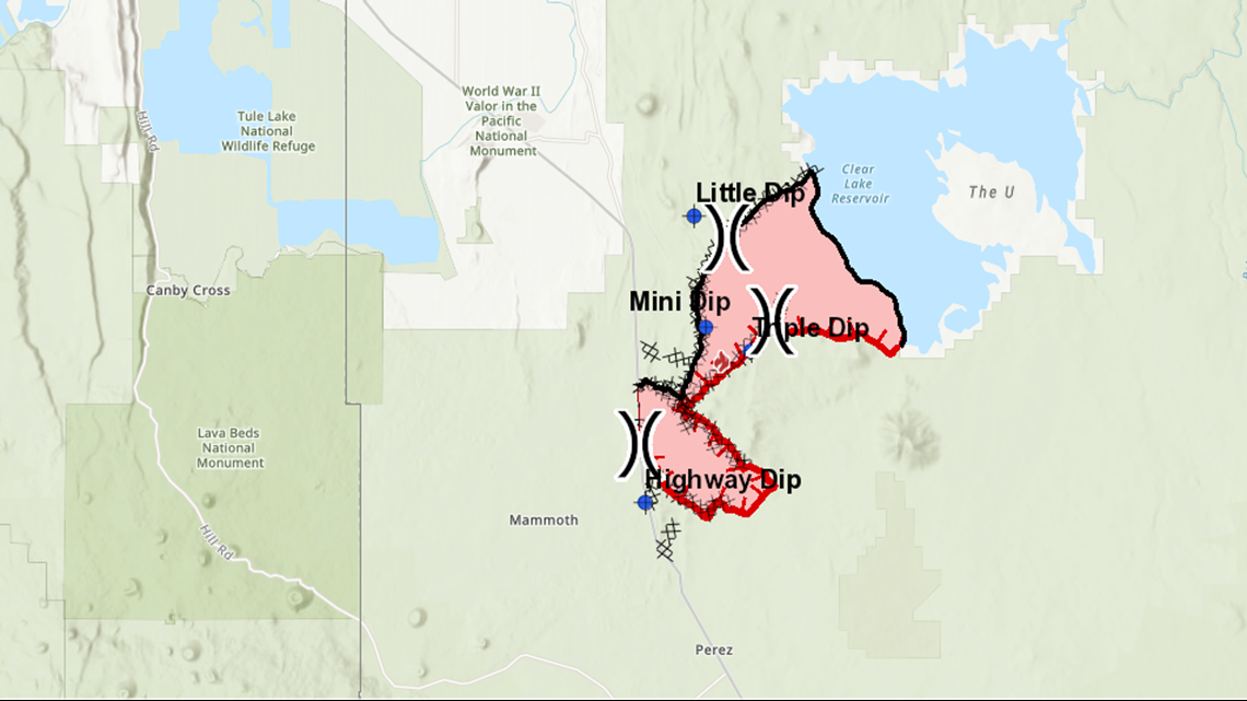
MODOC COUNTY, Calif. — The Tucker Fire burning in Modoc County began on Sunday, July 28. It has consumed approximately 14,200 acres of land and, as of Aug. 1, is 51 percent contained, according to the United States Forest Service.
The fire is burning on the northwestern side of the county near the Clear Lake Reservoir on its eastern edge and up to State Highway 139 on its western edge.
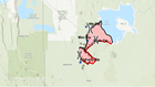
There are no reports that the fire is impacting traffic in the area. Here is a look at the live traffic map from Waze.
Because the fire is burning on federal land, Cal Fire is not the lead agency. The Tucker Fire is under the command of the California Interagency Incident Management Team 10.
The US Forest Service map of the Tucker Fire can be seen below. The map rendering was created as of Aug. 1 at 5:40 a.m., according to the USFS.
No structures have been damaged or destroyed by the fire, no evacuations have been ordered and no injuries have been reported.