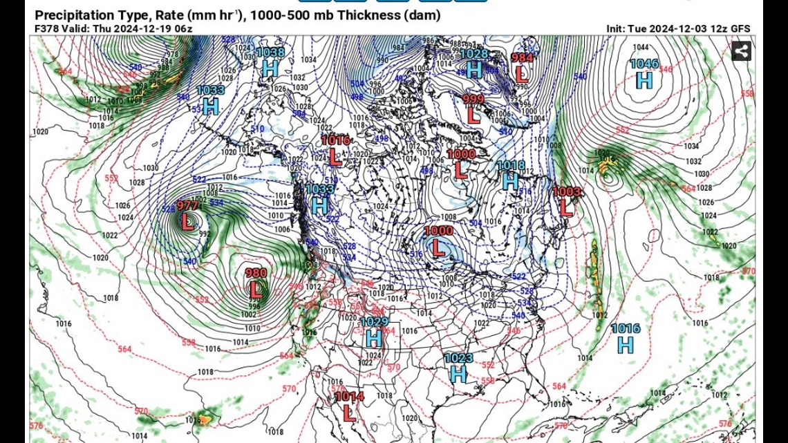
CALIFORNIA, USA — A high pressure system has set up over the western U.S. and as far out as the long range computer models can show, each approaching storm system looks to be lifted up and over the Pacific Northwest to Canada.
The latest GFS models show the possibility of a Dec. 15 low pressure system approaching the Central Coast, into Southern California. Another storm may look a little more promising. That system moves into northern California on Dec. 18-19.


With a forecast 12-15 days out, it’s hard to say with certainty if a storm will hold its shape or even keep its track. If computer models hold true, the next significant rain event could be the second half of the month.
So, what does this mean for our water year?
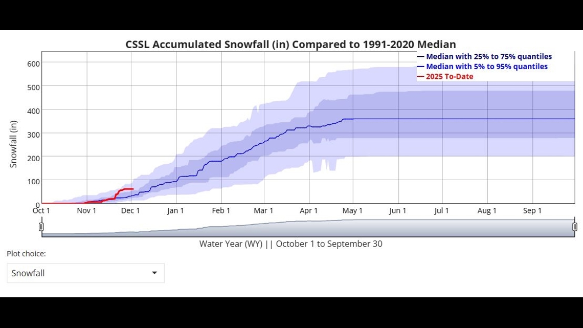
So far, the Central Sierra Snow Lab is showing above average snowfall for the season, but a two-and-a-half week lack of precipitation could put us right back to average for this time of year.
As of Dec. 2, 2024, the snow lab in Soda Springs received 62.2 inches of snow with the average being 34.45 inches this time of year. While this is just one monitor of the Central Sierra, it doesn't cover or represent the entire state, but it is a sample of what has come.


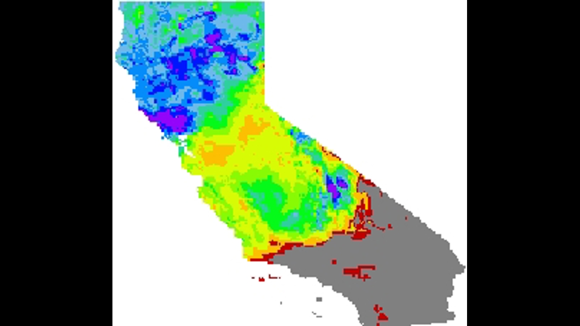
The state's drought monitor is showing similar findings. From the Central Sierra to Northern Sierra, snowpack has about doubled if not more than doubled for the water year.


The stop in precipitation and lack of incoming storms is leading scientists and meteorologists to lean into the La Niña year characteristics of below average precipitation for California with cooler water temperatures. Although La Niña and El Niño years don't always prove to be accurate, especially for central to Northern California, it's a theory that has shown more times to bring near to below average rain to the region.
The Climate Prediction Center has issued an ENSO Alert for a La Niña Watch. The alert is issued from October-December 2024. The chance is 57% and has actually proven to show half the months with wetter than average conditions. La Niña conditions are expected to persist from January through March.


