
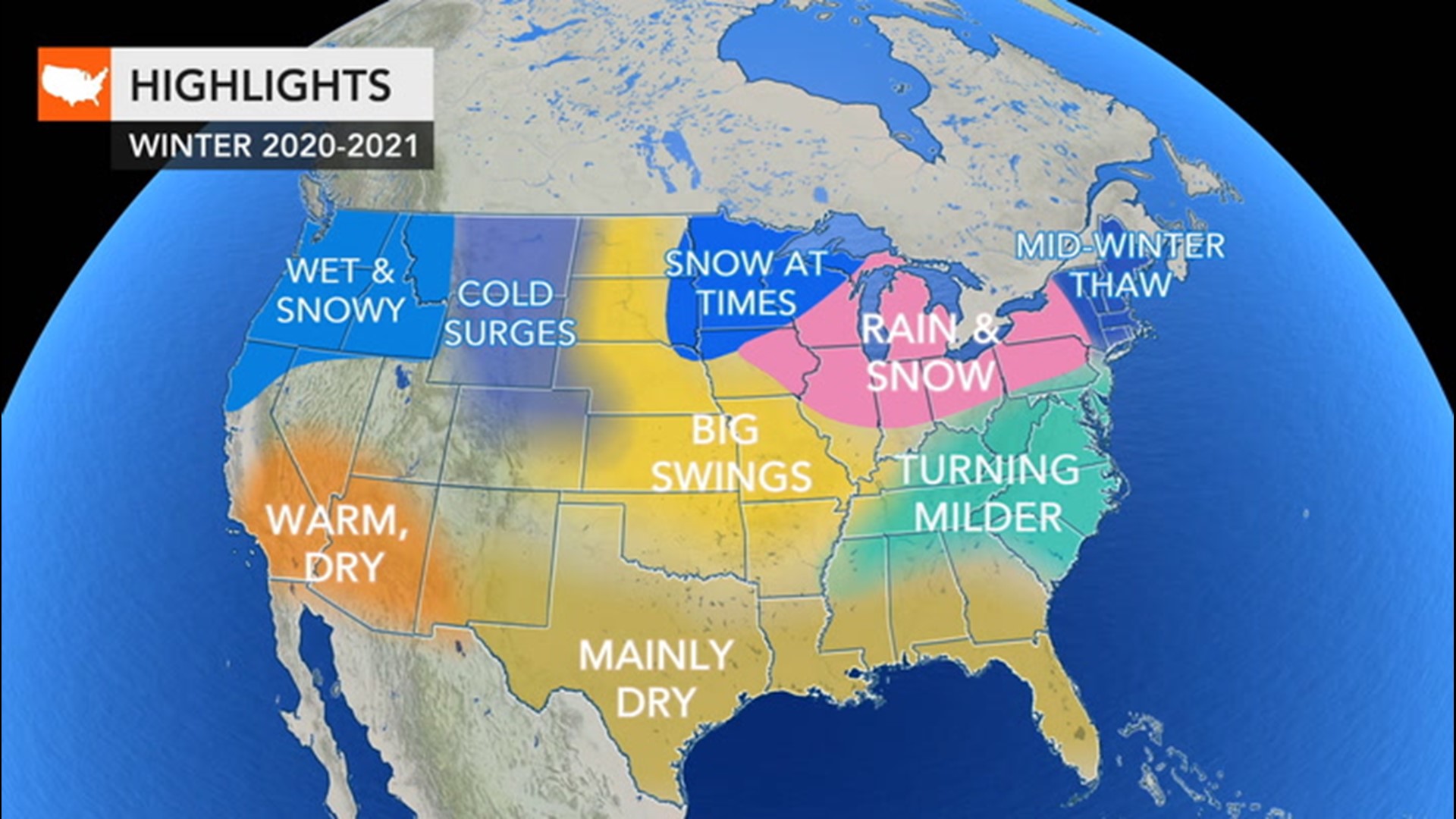
The start to what is typically one of the wettest months in the Pacific Northwest has begun very dry.
Portland, Oregon, and Seattle normally receive more than 0.50 of an inch of rain during the first three days of December. Salem and Eugene, Oregon, average 0.75 of an inch or more through Dec. 3. Eugene has only received a trace, while the other three cities haven't had a drop. A trace is rainfall of less than 0.01 of an inch. Of course, that is just a small number of locations in the Northwest with a lack of precipitation to begin the final month of the year.
In 75 years of record-keeping at Seattle-Tacoma International Airport, there have been only five years where the first four days of December were dry, according to the National Weather Service in December.
Besides the ongoing drought in some locations, the high pressure that has provided the dry start to the month has also caused poor air quality. With calm conditions and little to no airflow, air stagnation becomes a problem and this will continue to be the case through Friday night.

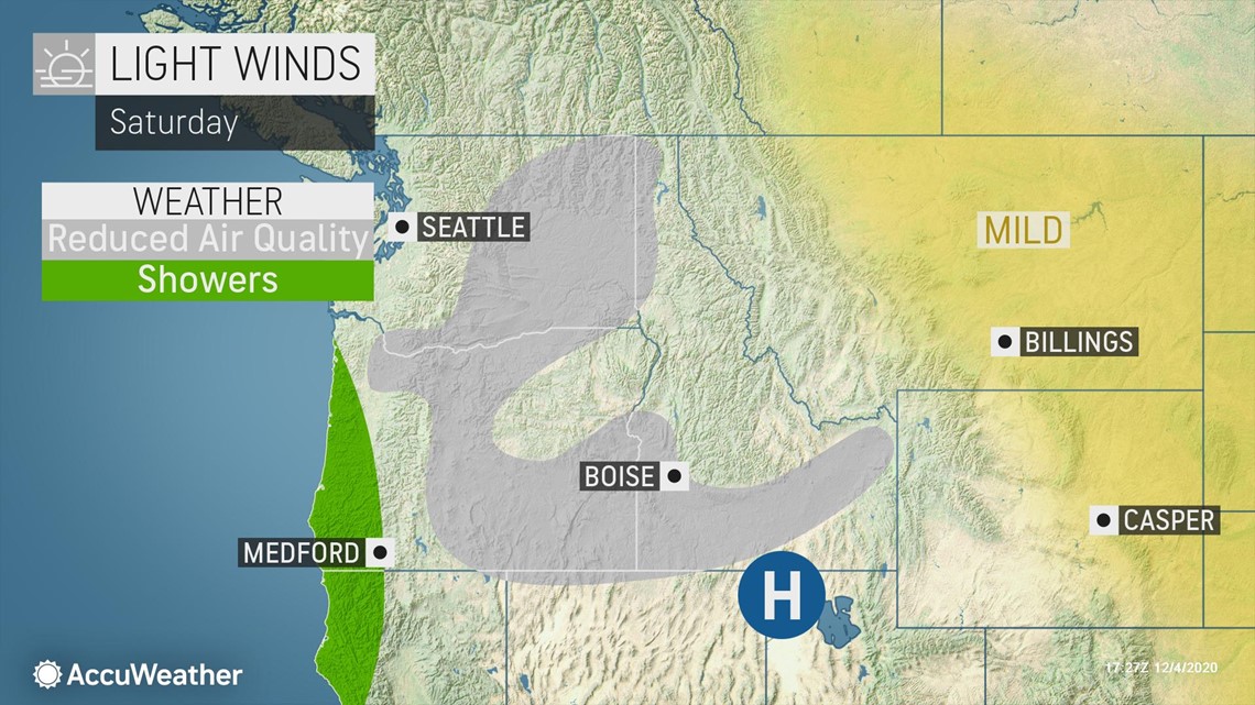
Along the coast of Oregon and far Northern California, the first measurable precipitation of the month may arrive as early as Saturday afternoon when a disturbance in the atmosphere moves onshore from the Pacific Ocean. There is not expected to be much precipitation, but light rain and light snow will move farther inland across Oregon Saturday night and Sunday.

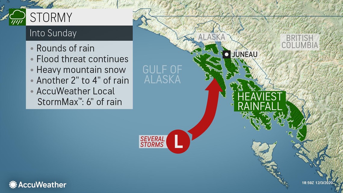
Any heavy precipitation will be well to the north, over southeastern Alaska. Unfortunately, that area has received too much rain during the past several days.
"Near-record rainfall amounts from this system that produced devastating mudslides in parts of coastal Alaska earlier this week are not expected in the Pacific Northwest," AccuWeather Meteorologist Adam Sadvary said.

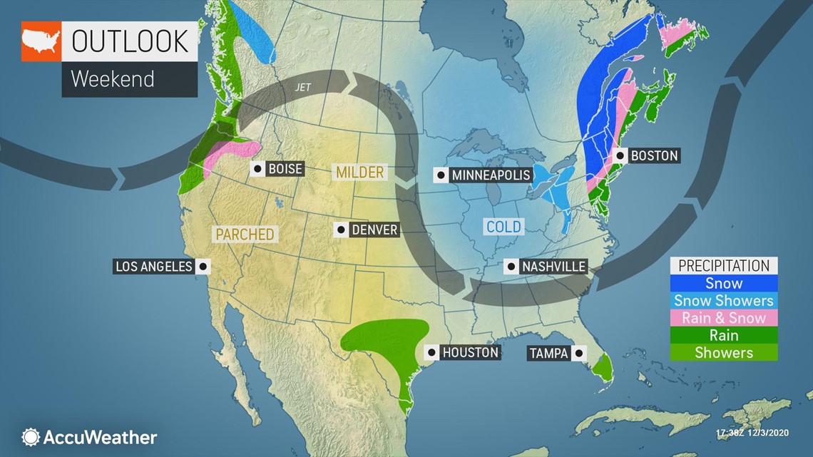
After Sunday, dry weather is expected to return to the Pacific Northwest as the system that will bring light rain and snow to the Northwest moves southward and becomes starved for moisture.
High pressure will then build once again Monday before a cold front follows for Tuesday.
"A cold front extending from low pressure moving through Alberta will swing through the Northwest overnight Monday into Tuesday, bringing another round of rain and mountain snow showers," Sadvary said.
However, the high pressure is likely to settle over southern Idaho or northern Utah. Given the setup, any valley rain or mountain snow is not expected to get very far into the Pacific Northwest. Western and central Washington and northwestern Oregon will likely be the extent of any precipitation from Monday night into Tuesday and Wednesday.
A more significant storm system may have greater impacts next weekend.
"Gusty winds, rounds of rain in coastal and inland valleys and periods of mountain snow may result in the Cascades and northern Rockies," AccuWeather Senior Meteorologist Mike LeSeney said.
The bottom line is that the first week to 10 days of December will be unusually quiet in the Northwest. By the middle of the second week of the month, more typical moisture-laden systems may then begin to line up over the Pacific Ocean.