SACRAMENTO, Calif —
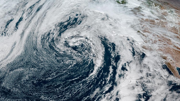
A low-pressure system spinning off the coast and an associated atmospheric river is set to bring periods of heavy rain and high-elevation snow.
The system will deliver the first rain in 10 days for most of the region. California has gotten off to a slow start so far this winter and the statewide snowpack only being at 28% of average reflects that.
However, due to the warmer nature of this storm, snow levels will be high, and the Sierra isn’t expected to add a ton of snow relative to how moist this system will be.
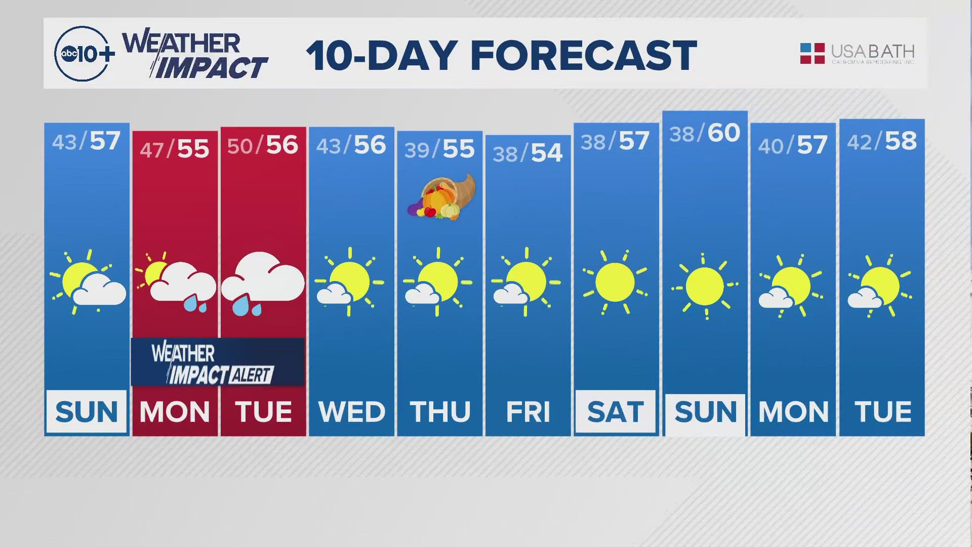
Rain showers will become more widespread overnight and will continue throughout Monday, Tuesday, and into Wednesday morning before it eventually tapers off in Northern California.


During the first phase of the storm, snow levels will be very high at around 8,000 feet. A secondary center of low pressure will sneak in behind the first and will reinforce the system will some colder air. As a result, snow levels will be around 6,500 feet by Wednesday.
As for snow totals, only 2-6" are expected at pass level and above 7,000 feet totals could surpass a foot, particularly south of Highway 50.
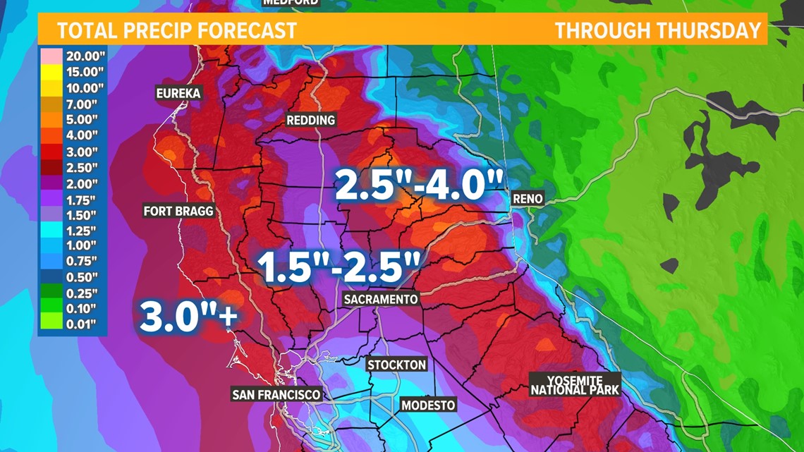
This will be an impressive rain event for the valley and foothills. Valley locations are expected to receive 1.5-2.5" and totals could approach 4" in the foothills.


Gusty winds are also expected in the coming days. Gusts of 25-35 mph are expected with the highest winds over the Sierra. A wind advisory is in effect for the northern and central Sacramento Valley from 10 p.m. Monday through 7 a.m. Tuesday.
Temperatures will be slightly above average this week and will be in the low 60s across the valley. Highs in the 30s and 40s are expected in the Sierra.


By Wednesday, most of the precipitation will be moving south as the low follows the coast toward Southern California. Dry weather is expected for the rest of the week but the models are hinting at activity picking back up in the days following Christmas.
WATCH ALSO:


